
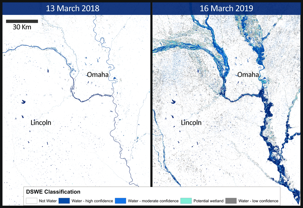
Dynamic Surface Water Extent - Omaha, Nebraska
By Earth Resources Observation and Science (EROS) Center
March 2019 (approx.)

Detailed Description
An animation of the Omaha, NE, area that shows spring flooding rendered first in a Landsat 8 Operational Land Imager (OLI) false color composite, and second by the Landsat Level-3 Dynamic Surface Water Extent (DSWE) product.
Sources/Usage
Public Domain.
Related
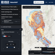
WaterMAP: Water Monitoring Above the Planet
WaterMAP, or Water Monitoring Above the Planet, is an interactive web application that brings together surface water observations across the U.S. The application allows users to explore water conditions over time using both remotely sensed satellite and field measured data.
Related
WaterMAP: Water Monitoring Above the Planet
WaterMAP, or Water Monitoring Above the Planet, is an interactive web application that brings together surface water observations across the U.S. The application allows users to explore water conditions over time using both remotely sensed satellite and field measured data.