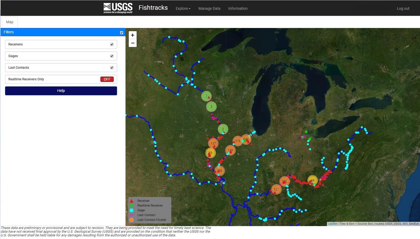
FishTracks telemetry receiver map interface
By Upper Midwest Environmental Sciences Center
January 2021 (approx.)

Detailed Description
Map interface of the FishTracks Telemetry database and web application, showing the location of deployed acoustic telemetry receivers throughout the Upper Mississippi River basin to support the monitoring and removal of Asian carp.
Sources/Usage
Public Domain.


