Science Explorer
Mission Areas
Programs
Science Centers
Observatories
Laboratories
Unified Interior Regions
Frequently Asked Questions
Education
Data and Tools
Maps
Publications
Software
Multimedia Gallery
Park Passes
USGS Library
Featured Stories
News Releases
Science Snippets
Technical Announcements
Employees in the News
Get Our News
Media Contacts
I'm a Reporter
Headquarters
Locations
Contact Us
Staff Profiles
Social Media
About Us
Organization
Key Officials
Congressional
Budget
Opportunities
Doing Business
Emergency Management
Survey Manual
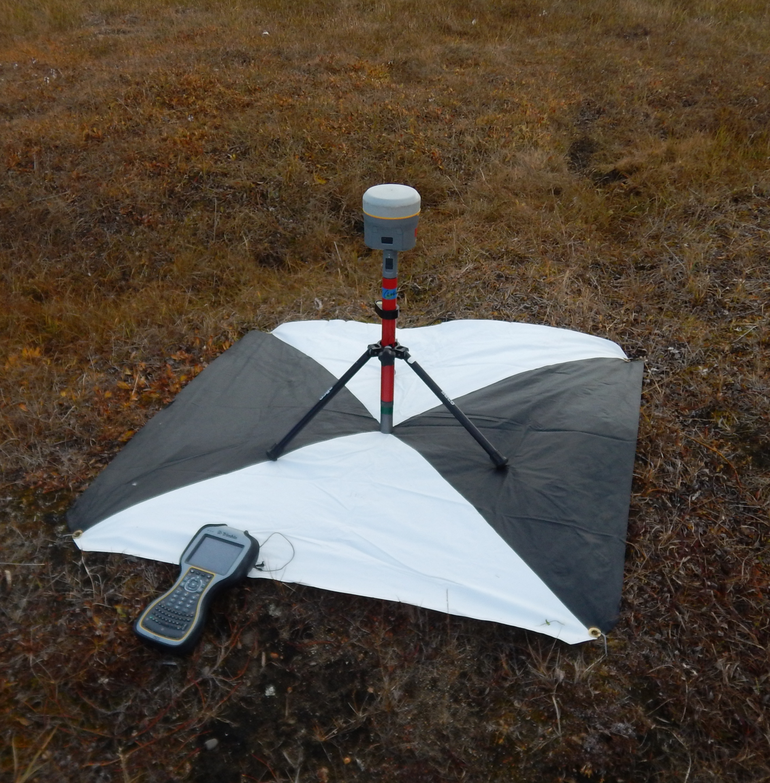
A global positioning system (GPS) sits on a tripod and is used to accurately pinpoint the center of a target that itself is used for photo rectification with aerial photos.
Image Dimensions: 1519 x 1545
Date Taken: September 2019 (approx.)
Location Taken: AK, US