
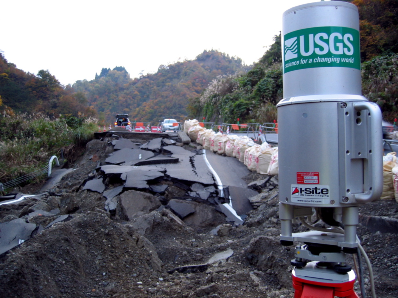
Ground-based lidar collects detailed, accurate data
By Pacific Coastal and Marine Science Center
2004 (approx.)
Detailed Description
USGS Lidar equipment, like this Riegl z210i, rapidly collects a highly detailed, accurate, and permanent digital terrain model record of damaged ground and structures on the Route 252 embankment failure, Horinouchi, Japan, as a result of the October 23, 2004 Niigata-ken Chuetsu earthquake.
Sources/Usage
Public Domain.