
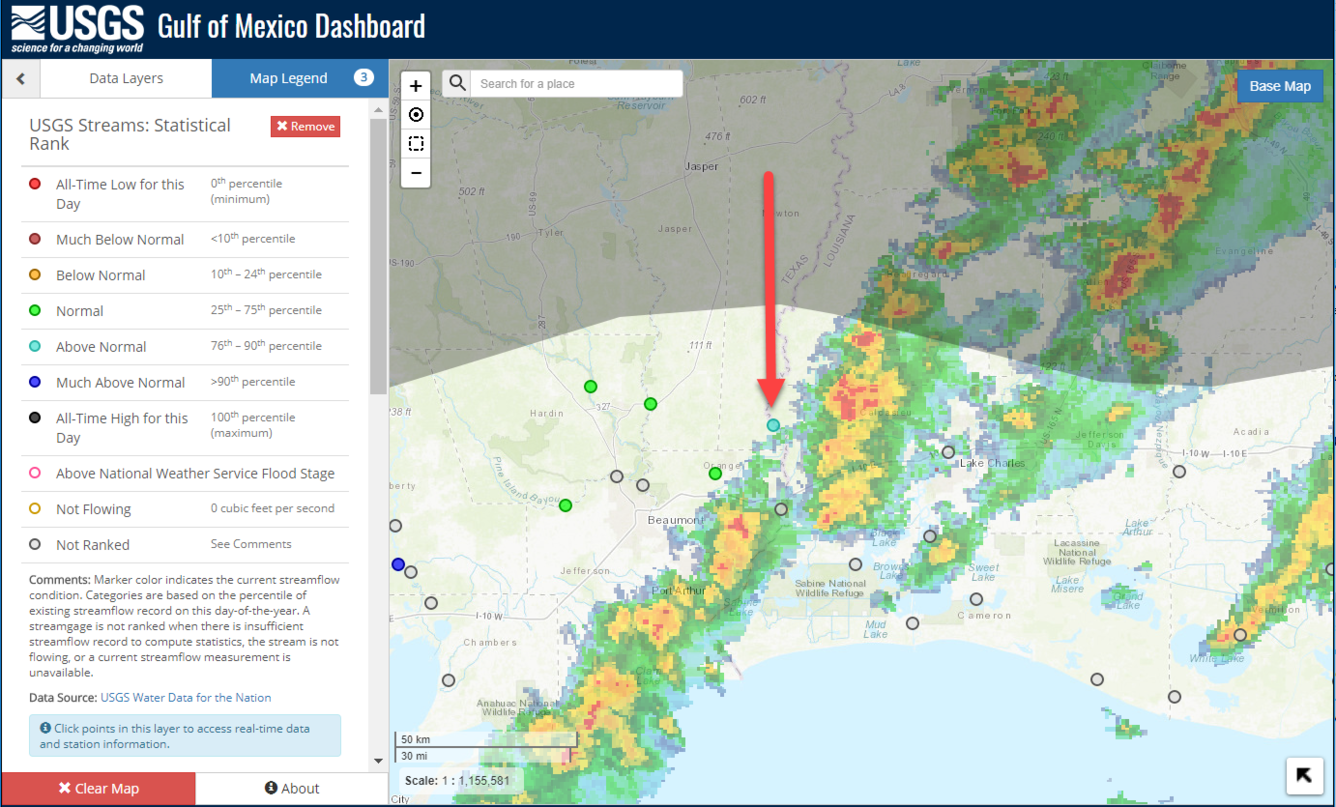
Gulf of Mexico Dashboard Real-time Stream Data with Live Storm Radar
Detailed Description
Gulf of Mexico Dashboard Real-time Stream Data with Live Storm Radar
Sources/Usage
Public Domain.
Related Content

The Gulf of Mexico Water Dashboard: Cross-Center Collaboration Brings Real-time, USGS Water Data to the Gulf Coast through a Spatially Enabled Mapping Application
The USGS Southeast Regional Office has funded a cross-center collaboration between the Wetland and Aquatic Research Center and the Texas Water Science Center for the development of the Gulf of Mexico Water Dashboard. The objective of this effort is to expand the Texas Water Dashboard platform to include the coastal regions of the five Gulf states: Texas, Louisiana, Mississippi, Alabama, and...
Related Content
The Gulf of Mexico Water Dashboard: Cross-Center Collaboration Brings Real-time, USGS Water Data to the Gulf Coast through a Spatially Enabled Mapping Application
The USGS Southeast Regional Office has funded a cross-center collaboration between the Wetland and Aquatic Research Center and the Texas Water Science Center for the development of the Gulf of Mexico Water Dashboard. The objective of this effort is to expand the Texas Water Dashboard platform to include the coastal regions of the five Gulf states: Texas, Louisiana, Mississippi, Alabama, and...