


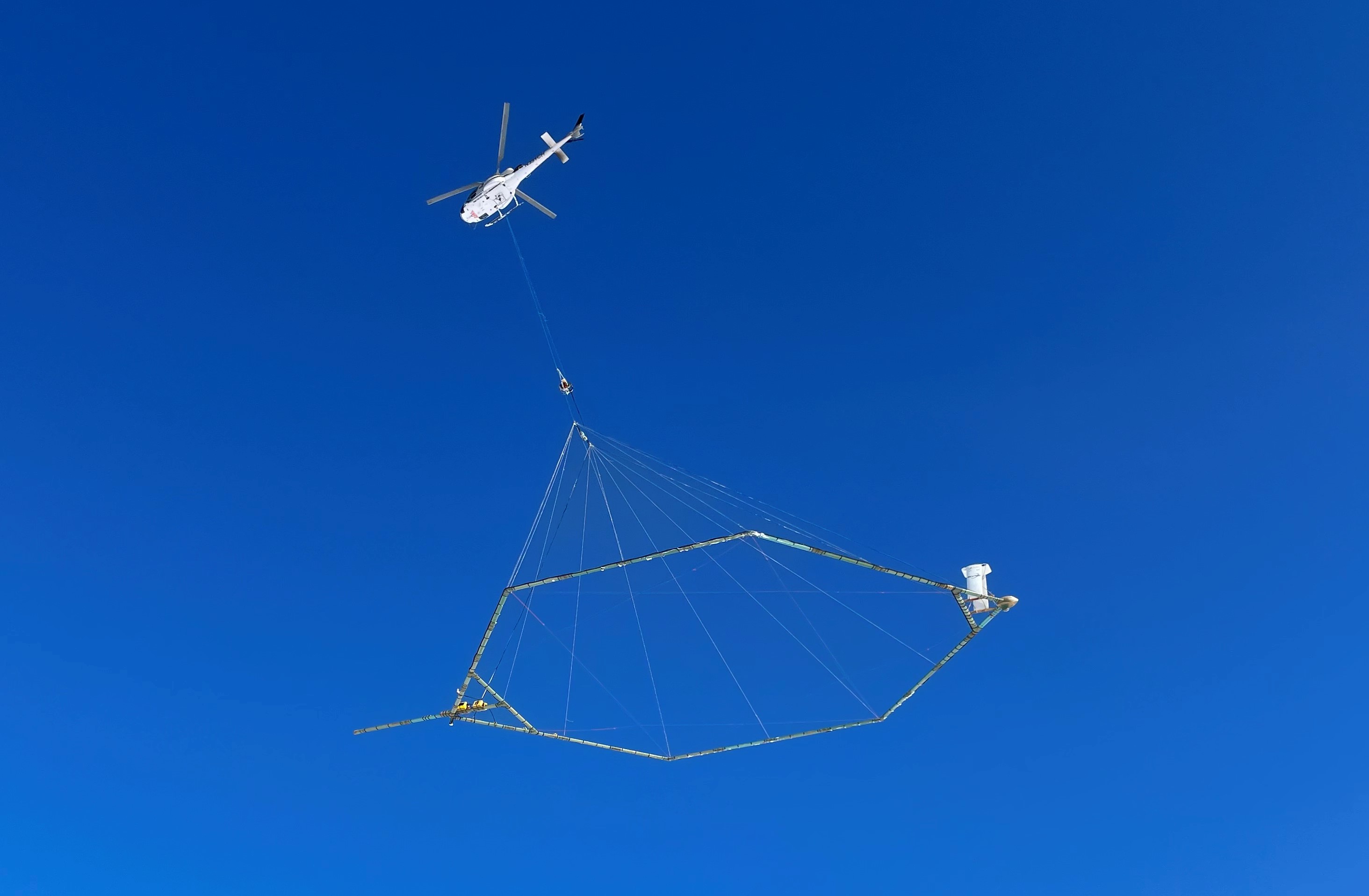
Geophysical equipment loop with sensor for airborne electromagnetic survey January 2021
Geophysical equipment loop with sensor for airborne electromagnetic survey January 2021Geophysical equipment loop with sensor from SKYTEM. In January 2021 a helicopter carried an airborne electromagnetic induction sensor over parts of northeastern Wisconsin as part of a USGS study to map the aquifers in the region.


