
High-Water Mark Debris Line after Flood in Woodstock, Vermont
Detailed Description
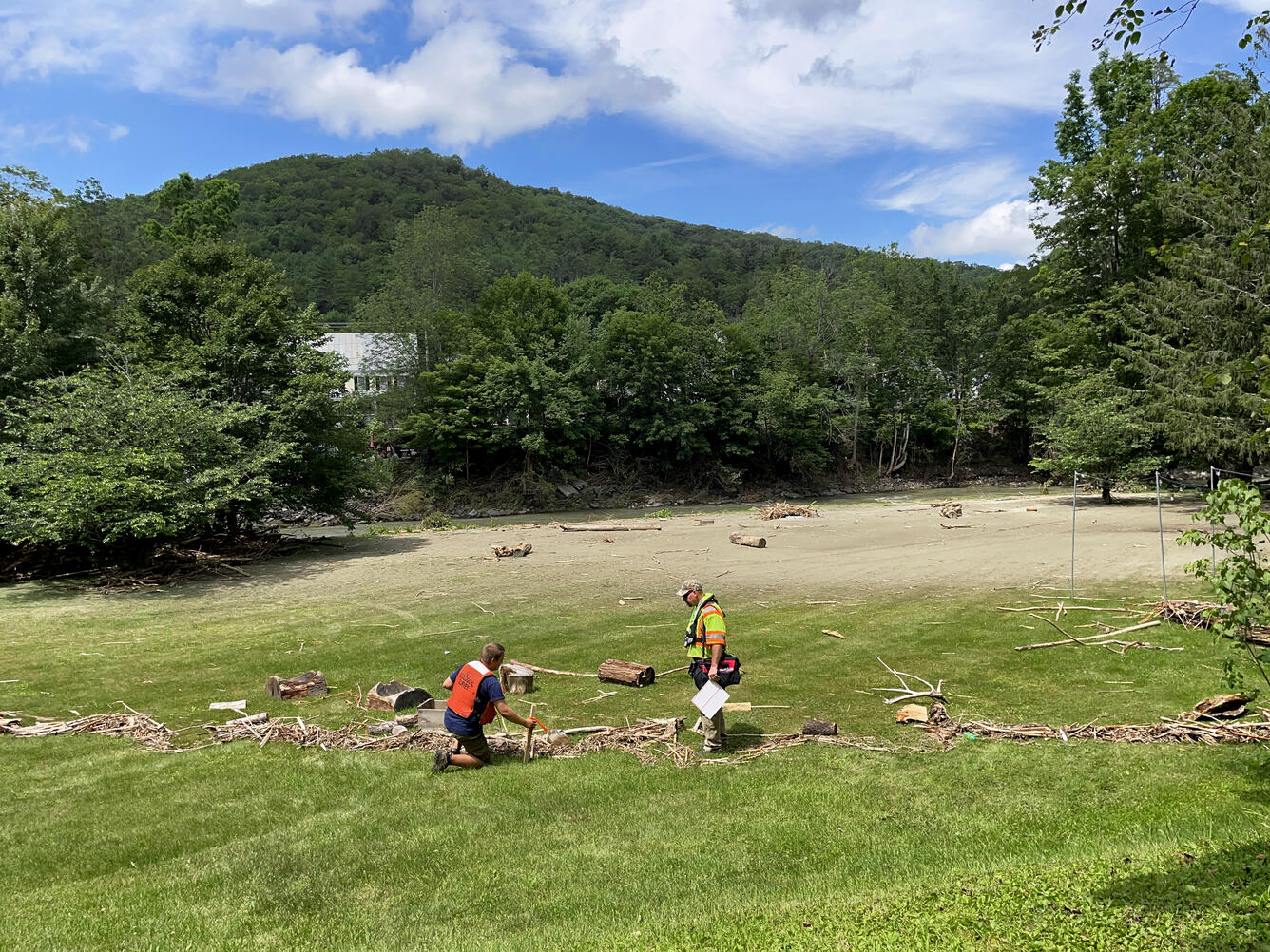
Sam Banas and Dale Tom located a debris high-water mark line in a field in Woodstock, Vermont. This physical evidence of flood water distance took place in the days following a heavy rainfall event that caused significant flooding.
Sources/Usage
Public Domain.
Related

New England Flood Information
The USGS delivers continuous streamflow, stage (water-level), and tide data to help emergency managers and other decision makers protect life and property caused by floods and other water-related hazards.
Related
New England Flood Information
The USGS delivers continuous streamflow, stage (water-level), and tide data to help emergency managers and other decision makers protect life and property caused by floods and other water-related hazards.