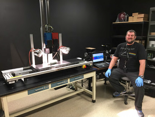
Hyperspectral Imager and USGS Scientist
By Geology, Geophysics, and Geochemistry Science Center
July 2017 (approx.)

Detailed Description
Hyperspectral imager and laboratory scanning platform, operated by USGS scientist Todd Hoefen. Visible and near-infrared (VNIR) sensor is mounted on the left (blue box) and shortwave infrared (SWIR) sensor is mounted on the right (red box).
Sources/Usage
Public Domain.


