
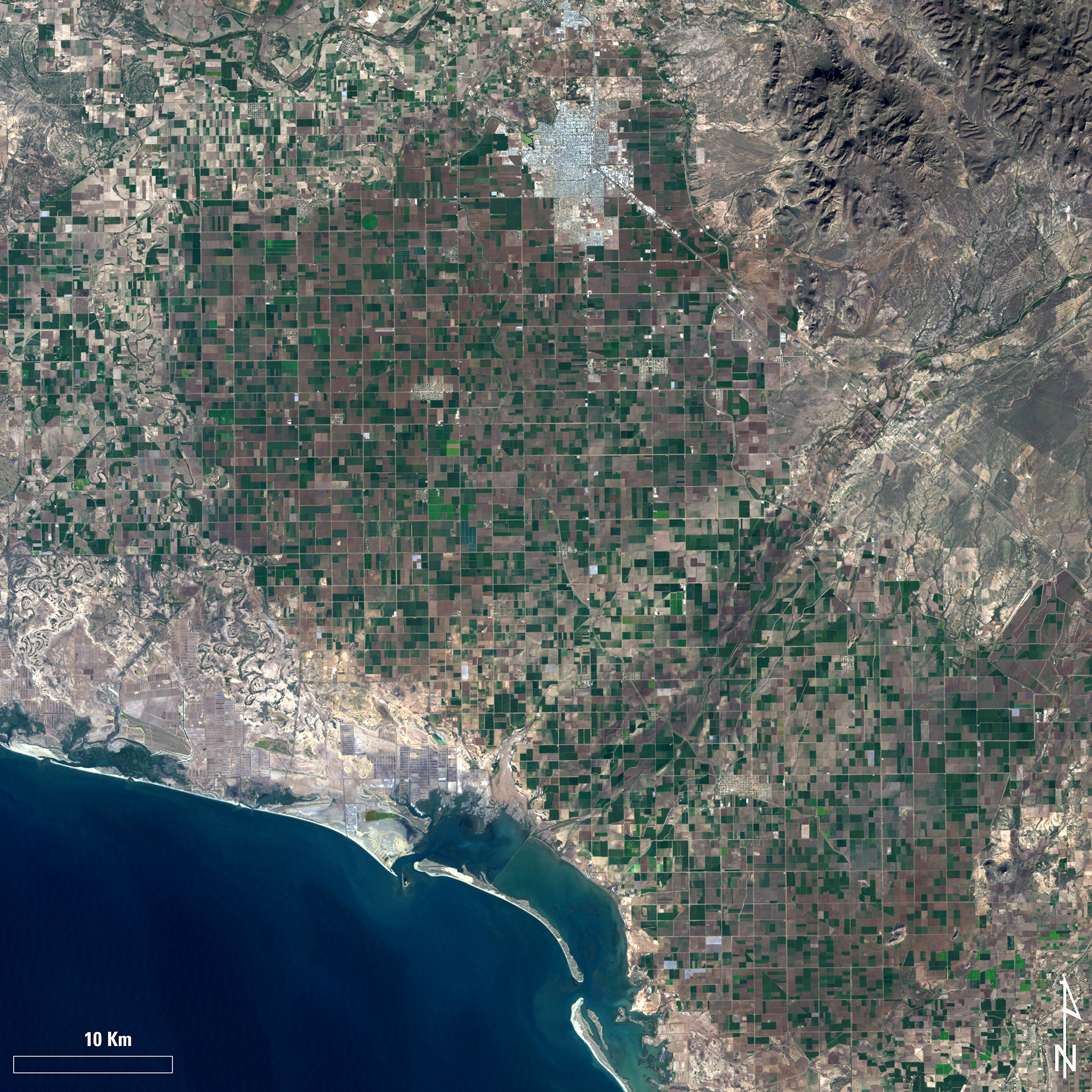
Landsat 7 image showing the area near Ciudad Obregón, Mexico

Detailed Description
Example of the Landsat 7 ETM+ Collection 2 level-1 product. This Landsat 7 image was acquired on January 1, 2003 near Ciudad Obregón, Mexico and is shown as a natural color composite using the red, green, and blue bands (bands 3,2,1).
Sources/Usage
Public Domain.
Related

USGS EROS Archive - Landsat Archives - Landsat 7 Enhanced Thematic Mapper Plus Collection 2 Level-1 Data
Landsat 7 Enhanced Thematic Mapper Plus (ETM+) Collection 2 Level-1 15- to 30-meter multispectral data. (1999 to January 2024).
Related
USGS EROS Archive - Landsat Archives - Landsat 7 Enhanced Thematic Mapper Plus Collection 2 Level-1 Data
Landsat 7 Enhanced Thematic Mapper Plus (ETM+) Collection 2 Level-1 15- to 30-meter multispectral data. (1999 to January 2024).