
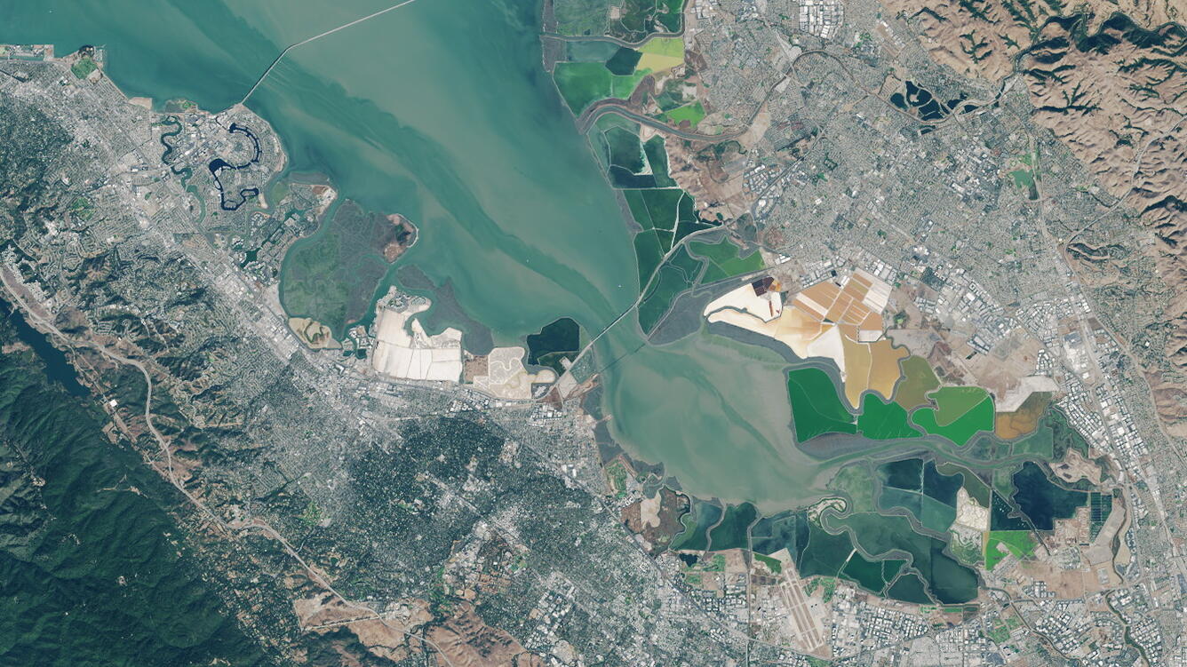
Landsat image of the south end of San Francisco Bay Estuary and associ
Detailed Description
Landsat image of the south end of San Francisco Bay Estuary and associated wetlands. U.S. Geological Survey (USGS) scientists studied the relationships between mercury concentrations in fish and measures of physical habitat from 31 wetlands in the San Francisco Bay Estuary. National Aeronautics and Space Administration (NASA) Earth Observatory - images by Joshua Stevens, using Landsat data from the U.S. Geological Survey - Image acquired October 31, 2015.
Sources/Usage
Public Domain.
Related

Scientists Identify Processes that Affect Fish Mercury Concentrations in Estuarine Wetlands
In a study designed to help resource managers when considering mercury exposure risk, scientists determined that sulfur cycling—a process closely related to mercury methylation rates—and ecological conditions that influence exposure are important factors affecting fish mercury concentrations in estuarine wetlands.
Related
Scientists Identify Processes that Affect Fish Mercury Concentrations in Estuarine Wetlands
In a study designed to help resource managers when considering mercury exposure risk, scientists determined that sulfur cycling—a process closely related to mercury methylation rates—and ecological conditions that influence exposure are important factors affecting fish mercury concentrations in estuarine wetlands.