
Landsat Level-1 Full Resolution Browse image - NoData fill
Detailed Description
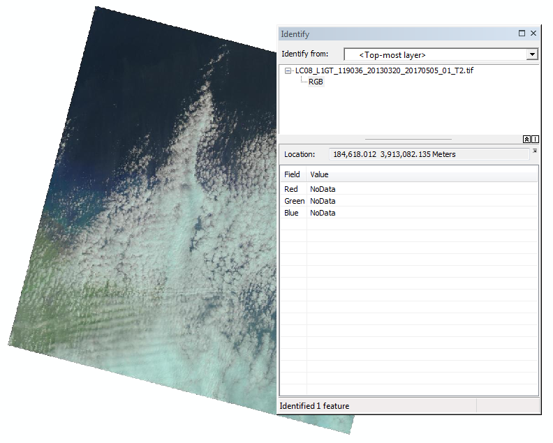
Landsat Level-1 Full Resolution Browse image - NoData fill. Landsat 1-7 previously used RGB 0,0,0 to represent the fill areas of the image. Going forward, the fill will use NoData as seen in this image.
Sources/Usage
Public Domain.