
Landsat satellite pages
By Earth Resources Observation and Science (EROS) Center
2020 (approx.)
Detailed Description
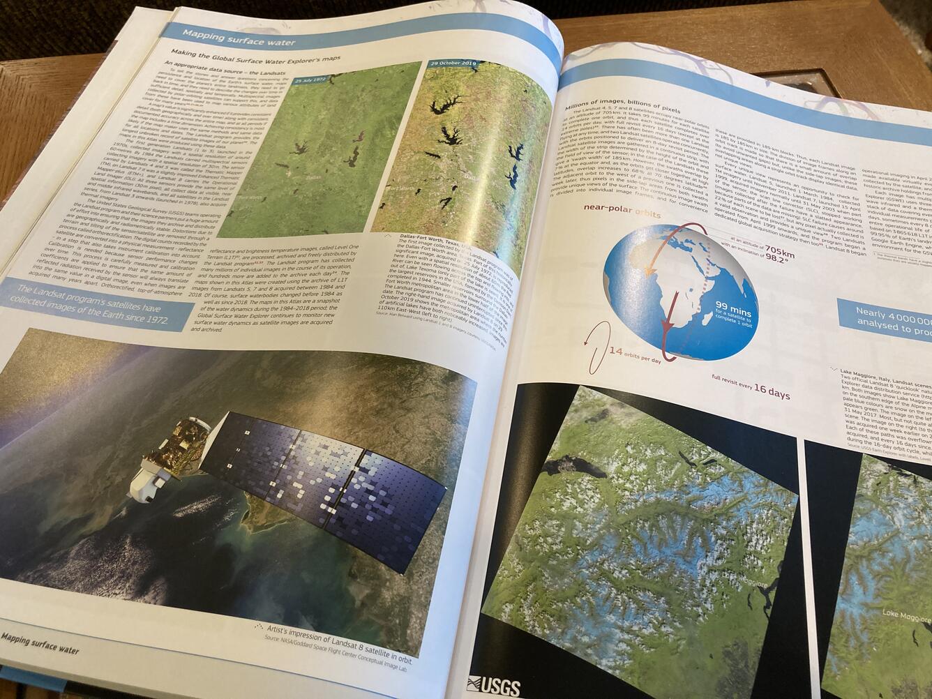
Landsat data were crucial in helping map change in water surface area over time, so the “Atlas of Global Surface Water Dynamics” describes the history and usefulness of Landsat imagery. “Nearly 4 million Landsat scenes were analyzed to produce the maps in this atlas,” the book mentions.
Sources/Usage
Public Domain.