LS can cause more LS

Detailed Description
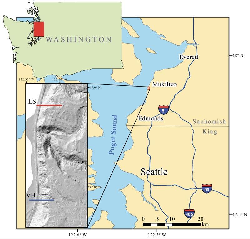
Map of Puget Sound Washington, showing location of the field site in Mukilteo. The gray hillshade inset shows a digital elevation map with the location of the two hillslope monitoring sites, labeled LS and VH.
Sources/Usage
Public Domain.


