
Map off Oregon coast, multichannel sparker seismic reflection data
Detailed Description
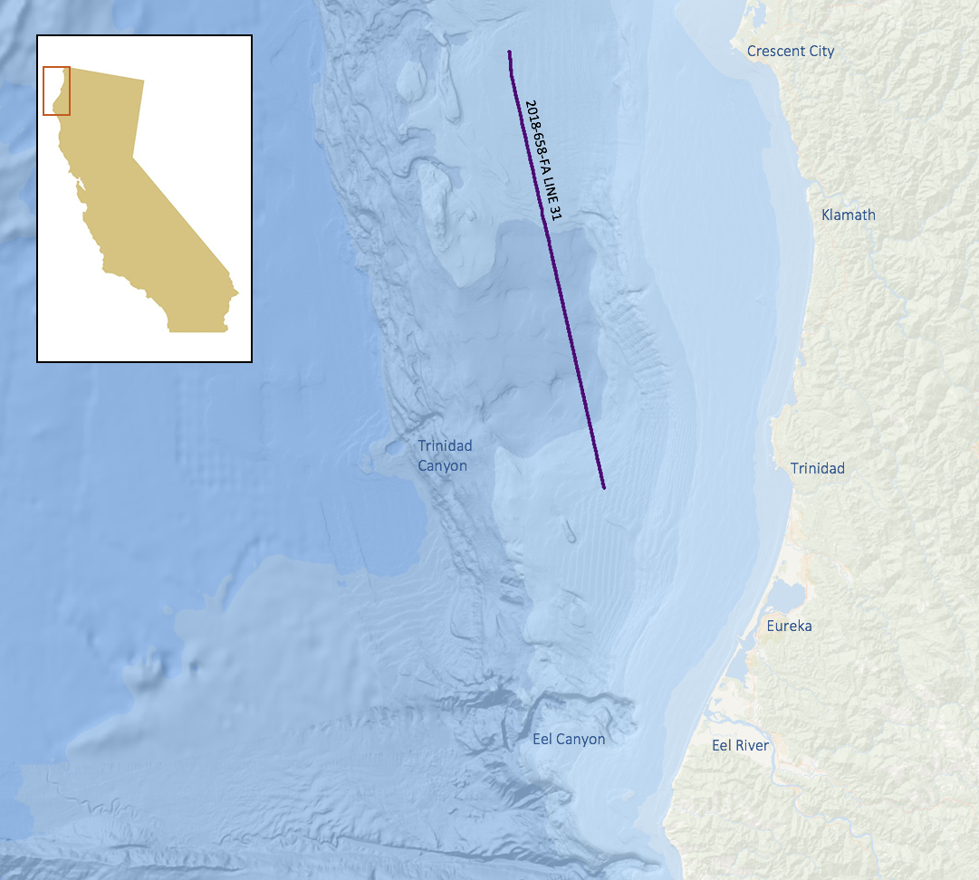
Balster-Gee, A.F., Kluesner, J.W., Watt, J.T., Hill, J.C., Brothers, D.S., Michalak, M.J., and O’Shea, D., 2020, Multichannel sparker seismic reflection data of USGS field activity 2018-658-FA collected between Cape Blanco and Cape Mendocino from 2018-10-04 to 2018-10-18: U.S. Geological Survey data release, https://doi.org/10.5066/P9R3QM97.
Sources/Usage
Public Domain.
USGS Data Release
Multichannel sparker seismic reflection data of USGS field activity 2018-658-FA collected between Cape Blanco and Cape Mendocino from 2018-10-04 to 2018-10-18