
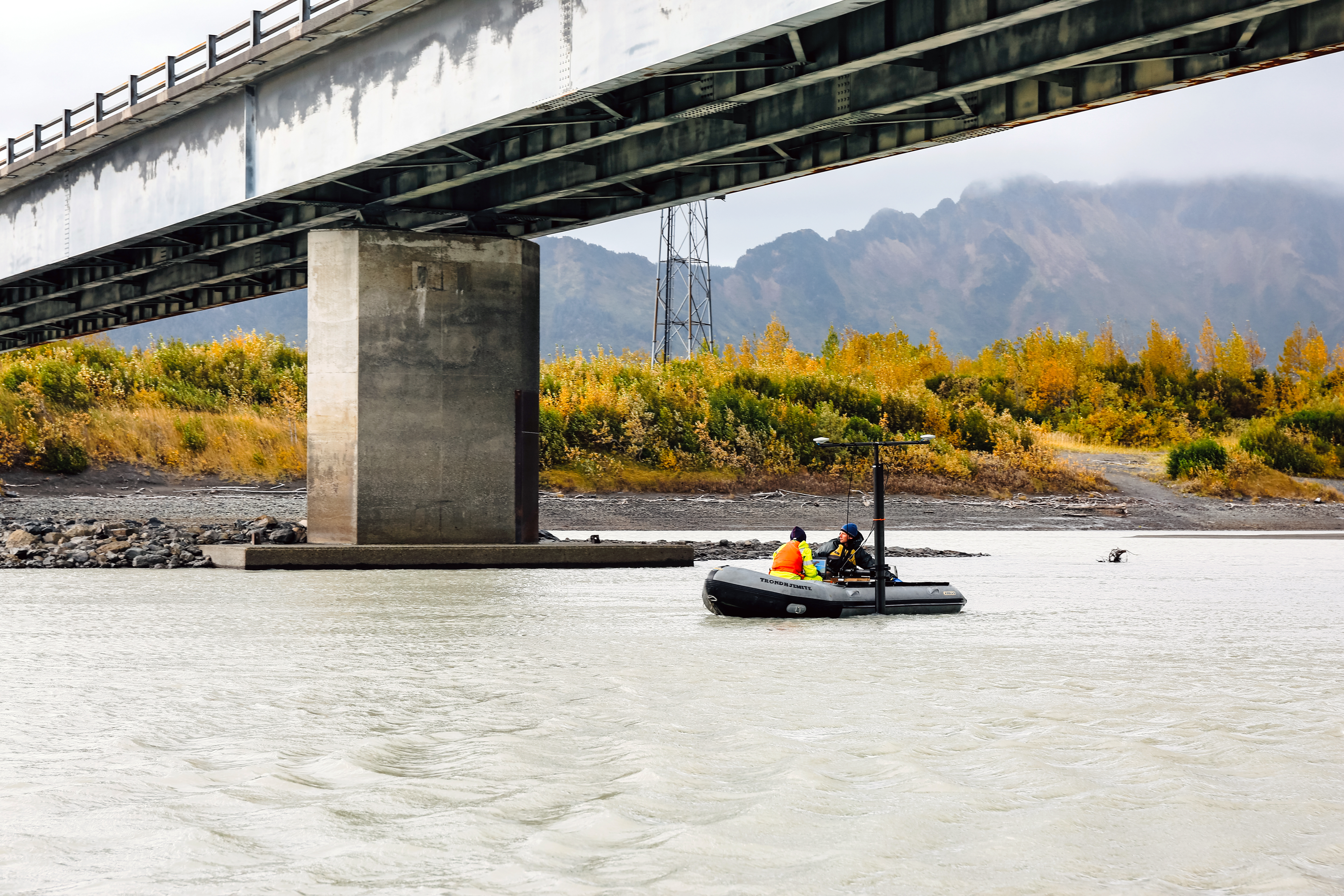
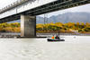
Mapping river bathymetry in the Copper River Delta, Alaska
By Idaho Water Science Center
September 2020 (approx.)

Detailed Description
USGS scientists Robin Beebee (left) and Jeff Conaway use a boat-mounted multibeam echosounder to map river bathymetry around bridge piers in the Copper River Delta of Alaska. The bathymetric mapping is part of a streambed scour study conducted in cooperation with the Alaska Department of Transportation and Public Facilities.
Sources/Usage
Public Domain.