
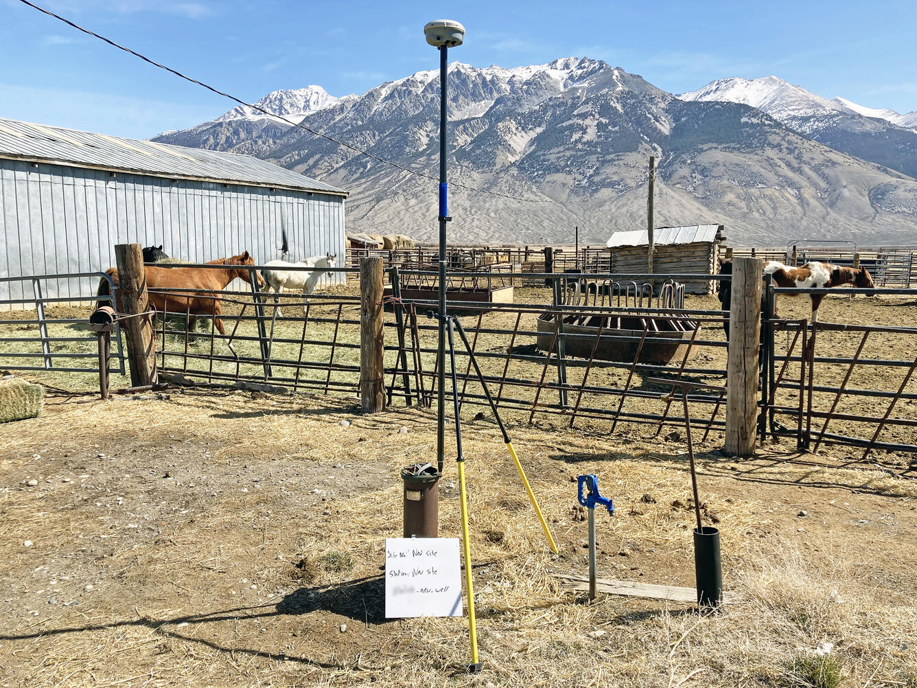
Measuring groundwater levels, Big Lost River Valley, south-central Idaho
Detailed Description
In cooperation with the Idaho Department of Water Resources, scientists from the U.S. Geological Survey's Idaho Water Science Center measured groundwater levels in about 120 wells in the Big Lost River Basin in April 2022 to represent pre-irrigation conditions. This photograph shows surveying equipment at one of the wells collecting data to determine the vertical elevation of the well's measuring point. Data from the valley-wide effort and a similar one after irrigation season will be used to develop potentiometric surface altitudes for the alluvial aquifer of the Big Lost River Basin.
Sources/Usage
Public Domain.