
Measuring Sediment on the Atchafalaya River
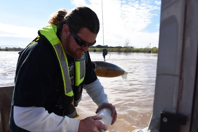
Detailed Description
On January 11, 2016 USGS Hydrologist Lane Simmons took sediment samples on the Atchafalaya River using two important tools: A point sampler, which can be seen behind Lane, for measuring sediment in the water. The point sampler can be triggered to allow water to flow in when it reaches a predetermined depth. In the image Lane completes the collection of a water sample.
In late 2015/early 2016 unusually large rainfall in the Upper Mississippi River Valley led to significant flooding in Arkansas, Illinois, Louisiana, Mississippi, Missouri, and Tennessee. USGS crews responded to the flooding by collecting streamflow and water quality information and providing it to emergency responders.
Sources/Usage
Public Domain.