Runoff Modeling Services API Documentation

Detailed Description
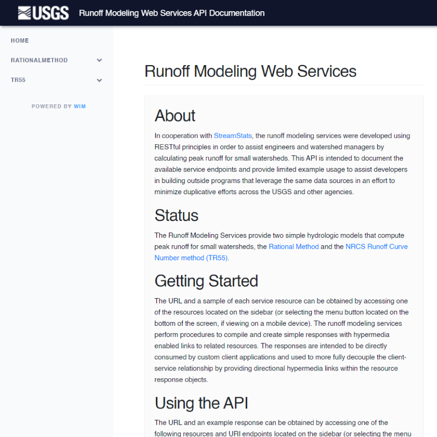
In cooperation with StreamStats, the runoff modeling services were developed using RESTful principles in order to assist engineers and watershed managers by calculating peak runoff for small watersheds. This API is intended to document the available service endpoints and provide limited example usage to assist developers in building outside programs that leverage the same data sources in an effort to minimize duplicative efforts across the USGS and other agencies.
Sources/Usage
Public Domain.

