
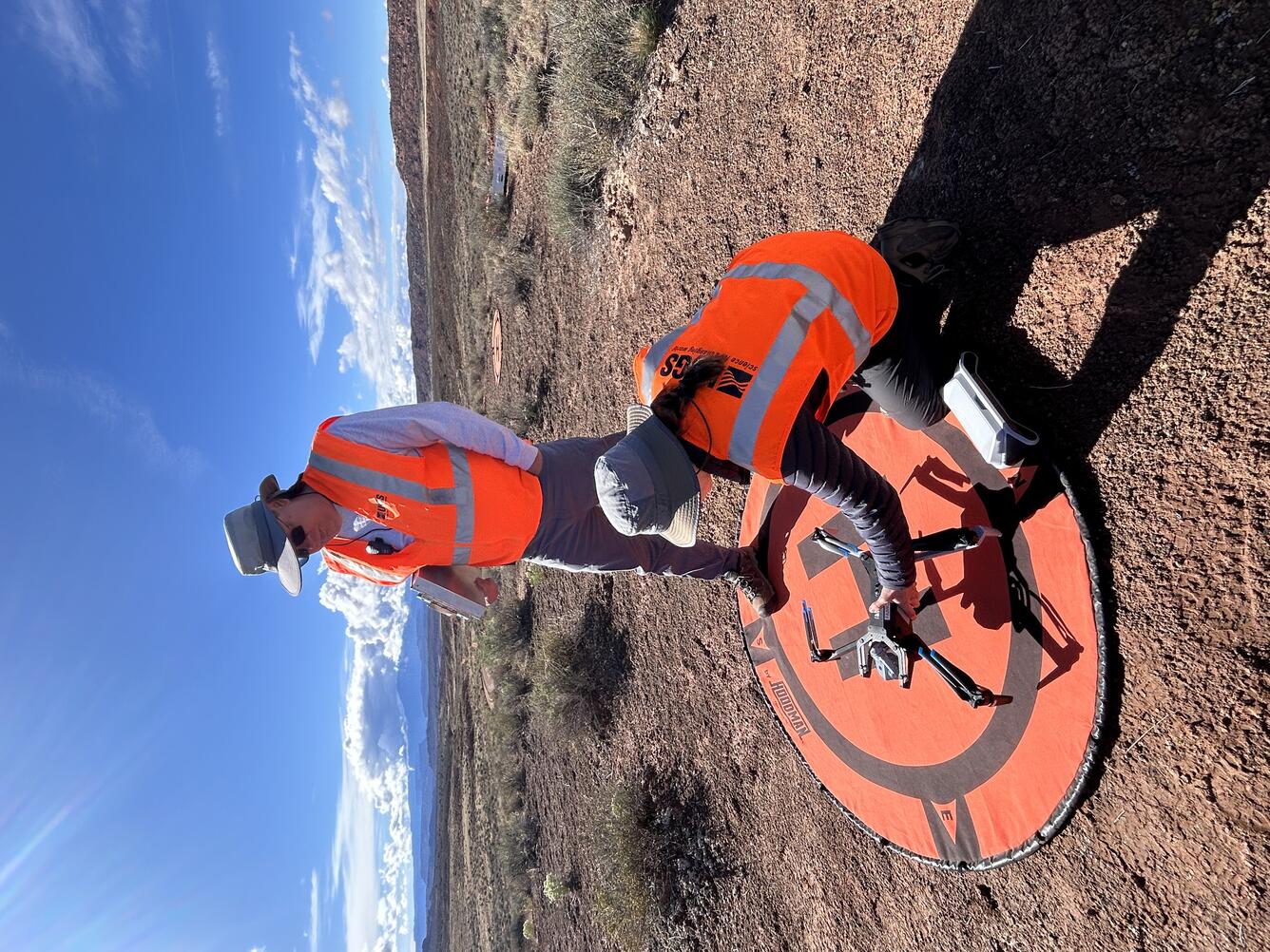
Setting up equipment for drone mapping flight near Moab, Utah
Detailed Description
USGS remote pilots Matt Burgess and Victoria Scholl prepare to conduct a drone mapping flight to collect thermal imagery over a dryland study site near Moab, Utah.
Sources/Usage
Public Domain.
Related

NUSO Research Missions
Research missions, often performed in cooperation with other DOI bureaus as well as non-DOI collaborators, serve as vital tools in the ongoing evaluation and integration activities that support the strategic implementation of UAS into the USGS and the DOI.

National Uncrewed Systems Office
The U.S. Geological Survey (USGS) National Uncrewed Systems Office (NUSO) leads the research activities needed to make Uncrewed Aircraft Systems (UAS) data collection an efficient, safe, and cost-effective remote sensing tool for Department of the Interior (DOI) and USGS scientists.
Related
NUSO Research Missions
Research missions, often performed in cooperation with other DOI bureaus as well as non-DOI collaborators, serve as vital tools in the ongoing evaluation and integration activities that support the strategic implementation of UAS into the USGS and the DOI.
National Uncrewed Systems Office
The U.S. Geological Survey (USGS) National Uncrewed Systems Office (NUSO) leads the research activities needed to make Uncrewed Aircraft Systems (UAS) data collection an efficient, safe, and cost-effective remote sensing tool for Department of the Interior (DOI) and USGS scientists.