
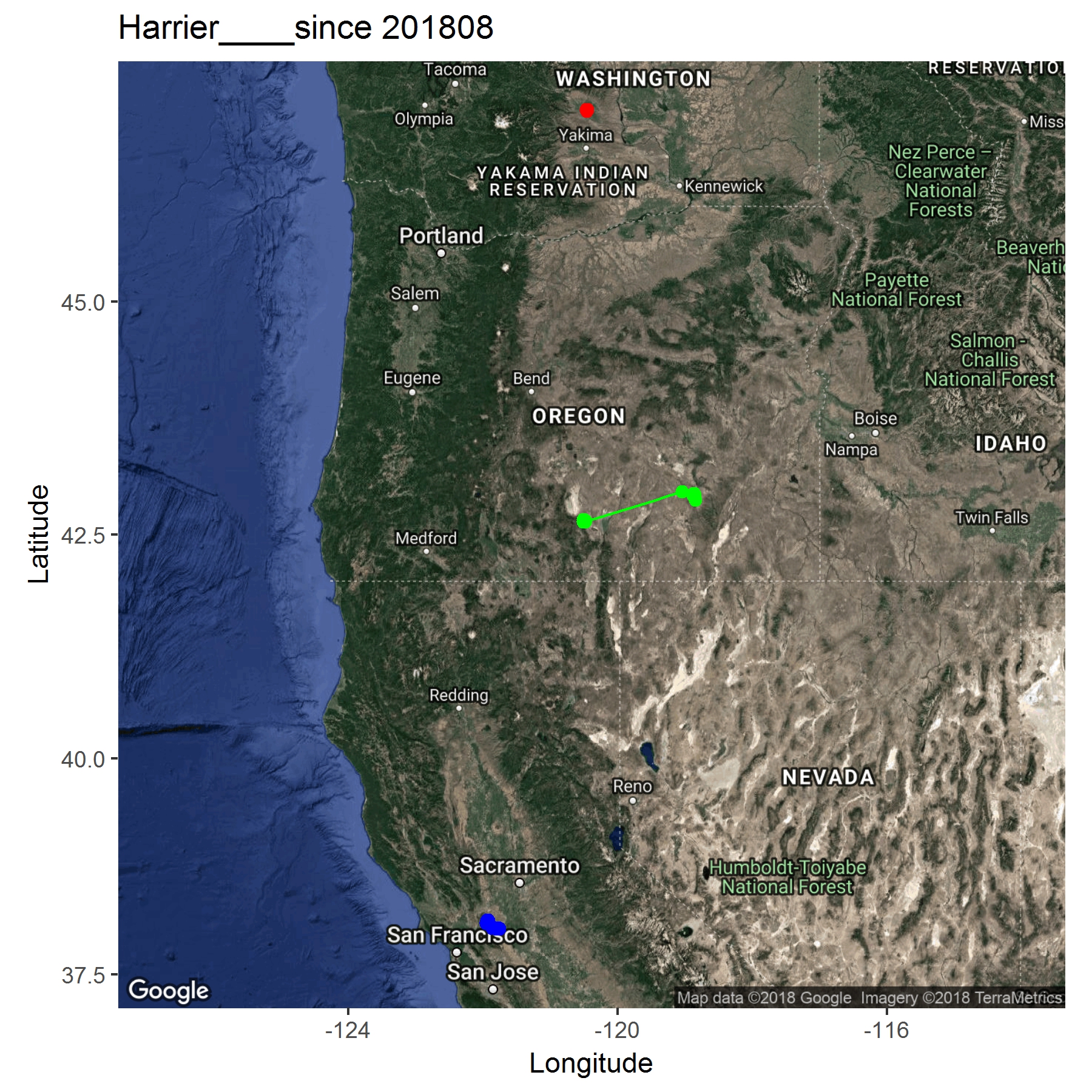
Telemetry of Harrier along the Pacific Flyway

Detailed Description
Each color represents a different individual. Movement map of GSM-GPS marked Mallards. Please visit the Movement Maps for Suisun Marsh Waterfowl and Waterbird Studies and Western States Cinnamon Teal Initiative project pages for more maps and information.
Sources/Usage
Public Domain.