
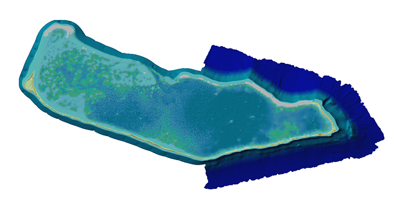
Topobathymetric elevation model of the Majuro Atoll
By Earth Resources Observation and Science (EROS) Center
2017 (approx.)

Detailed Description
Topobathymetric elevation model of the Majuro Atoll, Republic of the Marshall Islands. USGS image created by Monica Palaseanu-Lovejoy.
Sources/Usage
Public Domain.