



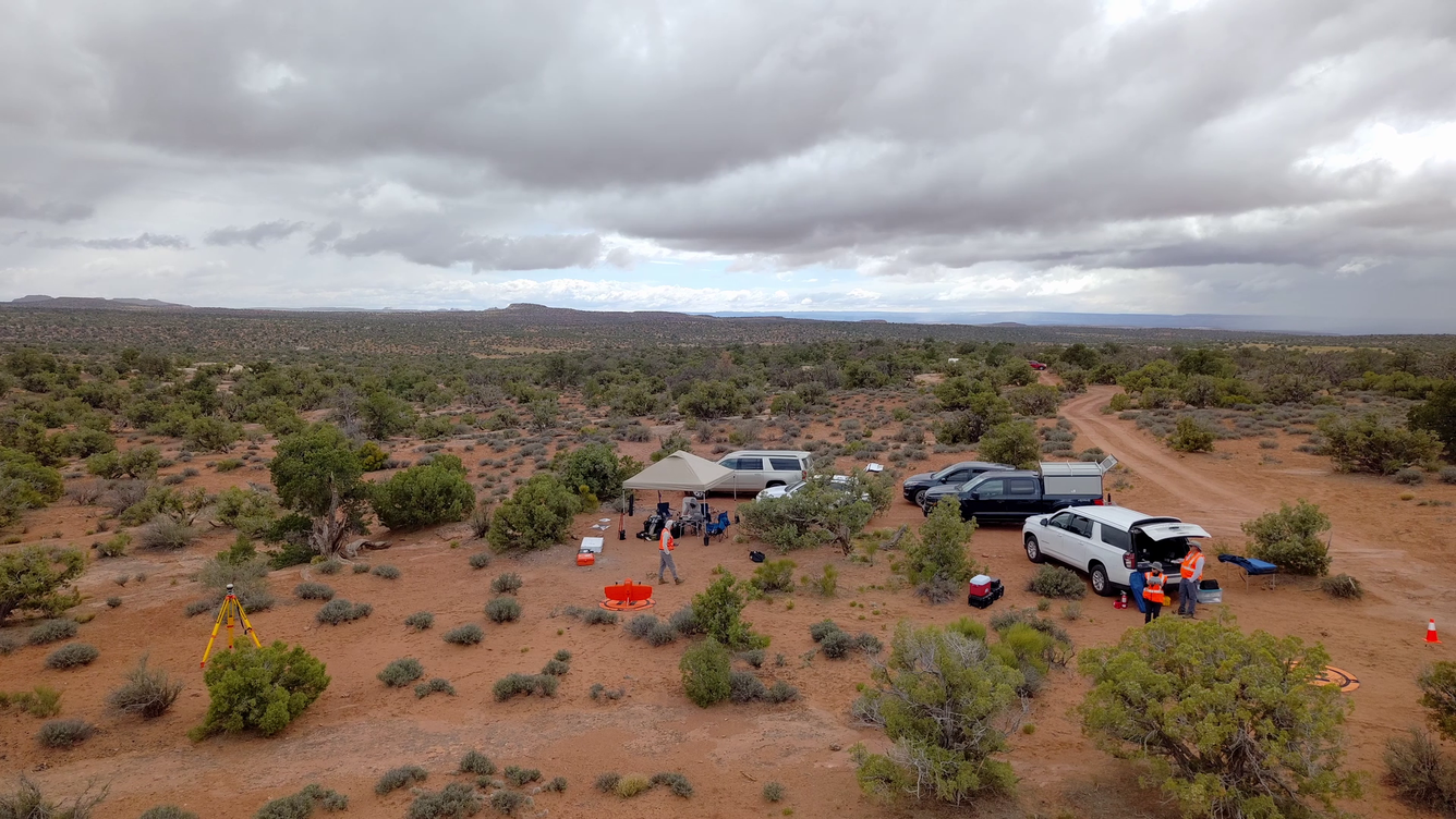
Uncrewed Aircraft Systems fieldwork site in Moab, Utah


Detailed Description
Drone operations near Moab, Utah to collect spectral remote sensing imagery during a collaborative USGS field campaign in May 2025.
Sources/Usage
Public Domain.
Related
NUSO 2025 Research Missions
2025's missions showcased UAS as a versatile bridge between ground and satellite observations, using drone-based imaging to document historic ruins, calibrate and validate remote sensing data relative to satellite overpasses, and map minerals and biocrusts across arid dryland landscapes. Research Missions for other years are listed under the Science tab. * Any use of trade, firm, or product names...

National Uncrewed Systems Office
The U.S. Geological Survey (USGS) National Uncrewed Systems Office (NUSO) leads the research activities needed to make Uncrewed Aircraft Systems (UAS) data collection an efficient, safe, and cost-effective remote sensing tool for Department of the Interior (DOI) and USGS scientists.
Related
NUSO 2025 Research Missions
2025's missions showcased UAS as a versatile bridge between ground and satellite observations, using drone-based imaging to document historic ruins, calibrate and validate remote sensing data relative to satellite overpasses, and map minerals and biocrusts across arid dryland landscapes. Research Missions for other years are listed under the Science tab. * Any use of trade, firm, or product names...
National Uncrewed Systems Office
The U.S. Geological Survey (USGS) National Uncrewed Systems Office (NUSO) leads the research activities needed to make Uncrewed Aircraft Systems (UAS) data collection an efficient, safe, and cost-effective remote sensing tool for Department of the Interior (DOI) and USGS scientists.