
Programs
Our Programs deliver essential mapping and science about the Nation's geology and geologic resources.

Energy Resources Program
From transportation to electricity, our Nation relies on geologic energy resources every day. The Energy Resources Program studies traditional and emerging geologic energy resources to meet future needs reliably and sustainably.

Mineral Resources Program
Minerals are needed to sustain and advance modern technology and infrastructure. The Mineral Resources Program studies the full life cycle, from occurrence to end of life, and supply chains of mineral resources.

Earth Mapping Resources Initiative (Earth MRI)
Earth MRI is part of the Mineral Resources Program. Through Earth MRI, the USGS and partners are collecting foundational data and modernizing the Nation’s mapping of geology and mineral resources.
National Cooperative Geologic Mapping Program
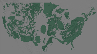
The National Cooperative Geologic Mapping Program synchronizes federal, state, and academic efforts to produce geologic maps of the Nation and maintains the National Geologic Map Database, the official archive of geologic maps of the nation. These maps and products are the essential foundation for assessing geologic resources, planning infrastructure and economic development, identifying natural hazards, managing land and water resources, and more.

National Geological and Geophysical Data Preservation Program
The National Geological and Geophysical Data Preservation Program collects, preserves and provides access to the Nation’s geoscience data and geophysical samples, including rock cores, cuttings, well logs, maps, and field notes. These assets are available to anyone for research, resource development, and decision-making.