
The USGS has updated the 3D Hydrography Program (3DHP) web service (accessible at https://3dhp.nationalmap.gov/arcgis/rest/services/usgs_3dhp_all/FeatureServer). This updated service includes the first new hydrography data published by the 3DHP and aligned with 3
Images
Out traveling or find the hydrology near you worth showcasing?
Water touches us - figuratively that is. Submit your photo to share it here!
Water touches us - figuratively that is. Submit your photo to share it here!
Images include graphics related to Hydrography and photography submissions from readers of our National Hydrography Newsletter.
►Please send photography submissions to Alexander Jonesi (ajonesi@usgs.gov)
Filter Total Items: 22
Holston River NHD to 3DHP Animation
The USGS has updated the 3D Hydrography Program (3DHP) web service (accessible at https://3dhp.nationalmap.gov/arcgis/rest/services/usgs_3dhp_all/FeatureServer). This updated service includes the first new hydrography data published by the 3DHP and aligned with 3

Using Google Earth Engine to Generate Monthly-to-Weekly Maps of Surface Water Thumbnail
Using Google Earth Engine to Generate Monthly-to-Weekly Maps of Surface Water Thumbnail-
Our topic will be "Using Google Earth Engine to Generate Monthly-to-Weekly Maps of Surface Water." The presenter will be Chris Soulard with the USGS Western Geographic Science Center.

Title page from WBD Standards TM11-a3 publication Version 5
Title page from WBD Standards TM11-a3 publication Version 5Title page from the Federal Standards and Procedures for the National Watershed Boundary Dataset (WBD), Techniques and Methods 11-A3, Fifth Edition, 2022.This document establishes Federal standards and procedures for creating the WBD as seamless and hierarchical hydrologic unit data, based on topographic and hydrologic features at a 1:24,000 scale (Alaska at 1:

Introducing the NHDPlus HR National Release 1 Video Thumbnail
Introducing the NHDPlus HR National Release 1 Video ThumbnailThe USGS is pleased to announce the release of the National Hydrography Dataset Plus (NHDPlus HR) National Release 1 downloadable staged product.
Introducing the NHDPlus HR National Release 1 Video Thumbnail
Introducing the NHDPlus HR National Release 1 Video ThumbnailThe USGS is pleased to announce the release of the National Hydrography Dataset Plus (NHDPlus HR) National Release 1 downloadable staged product.

3DHP Proposed Nine Year Costs
This is a graph and illustration representation of the 3DHP Proposed Nine Year Costs
This is a graph and illustration representation of the 3DHP Proposed Nine Year Costs

USGS Announces NHDPlus HR National Release 1
The NHDPlus HR National presents a continuous representation of the most recent NHDPlus HR vector data for the contiguous United States, Puerto Rico, Hawaii, and parts of Alaska.
The NHDPlus HR National presents a continuous representation of the most recent NHDPlus HR vector data for the contiguous United States, Puerto Rico, Hawaii, and parts of Alaska.

3DHP Figure 3 3D National Topography Model visualization
3DHP Figure 3 3D National Topography Model visualization3D terrain profile visualizes the surface elevations and hydrologic features along a horizontal plane.
3DHP Figure 3 3D National Topography Model visualization
3DHP Figure 3 3D National Topography Model visualization3D terrain profile visualizes the surface elevations and hydrologic features along a horizontal plane.

Cedar Creek, tributary of the James River, Virginia
Cedar Creek, tributary of the James River, VirginiaCedar Creek, tributary of the James River, Virginia flows through the Natural Bridge rock formation in Gilmore Mills, Rockbridge County Virginia.
Cedar Creek, tributary of the James River, Virginia
Cedar Creek, tributary of the James River, VirginiaCedar Creek, tributary of the James River, Virginia flows through the Natural Bridge rock formation in Gilmore Mills, Rockbridge County Virginia.

Youghiogheny River Swallow Falls State Park
The Youghiogheny River running through Swallow Falls State Park on its ways to Muddy Creek Falls.
The Youghiogheny River running through Swallow Falls State Park on its ways to Muddy Creek Falls.

Youghiogheny River at Swallow Falls State Park
A sunset over a branch of the Youghiogheny River at Swallow Falls State Park, Garret County, MD.
A sunset over a branch of the Youghiogheny River at Swallow Falls State Park, Garret County, MD.

Rock Jetty Bailey's Beach, off the coast of Newport, Rhode Island
Rock Jetty Bailey's Beach, off the coast of Newport, Rhode IslandA rock jetty stretches out into the water at Bailey's Beach, Newport Rhode Island
Rock Jetty Bailey's Beach, off the coast of Newport, Rhode Island
Rock Jetty Bailey's Beach, off the coast of Newport, Rhode IslandA rock jetty stretches out into the water at Bailey's Beach, Newport Rhode Island

Seagull flying at Sachuest Point National Wildlife Refuge, Rhode Island
Seagull flying at Sachuest Point National Wildlife Refuge, Rhode IslandSeagull flying over Rhode Island Sound at Sachuest Point National Wildlife, RI
Seagull flying at Sachuest Point National Wildlife Refuge, Rhode Island
Seagull flying at Sachuest Point National Wildlife Refuge, Rhode IslandSeagull flying over Rhode Island Sound at Sachuest Point National Wildlife, RI

Sunset at Colvin Creek - Reston, Virginia
A photograph of Colvin Creek during a cool Fall reddish sunset in Reston, Virginia
A photograph of Colvin Creek during a cool Fall reddish sunset in Reston, Virginia

NHD Newsletter Thumbnail - Small Rapid at Difficult Run Oakton, Virginia
NHD Newsletter Thumbnail - Small Rapid at Difficult Run Oakton, VirginiaNHD Newsletter thumbnail image. This is a black and white image of a small rapid at Difficult Run in Oakton, Virginia
NHD Newsletter Thumbnail - Small Rapid at Difficult Run Oakton, Virginia
NHD Newsletter Thumbnail - Small Rapid at Difficult Run Oakton, VirginiaNHD Newsletter thumbnail image. This is a black and white image of a small rapid at Difficult Run in Oakton, Virginia

Difficult Run Stream, Section 7 of the Cross-County Trail in Fairfax County, Virginia
Difficult Run Stream, Section 7 of the Cross-County Trail in Fairfax County, VirginiaView of Difficult Run Stream, Section 7 of 10 of the Cross-County Trail in Oakton, Fairfax County, Virginia,
Difficult Run Stream, Section 7 of the Cross-County Trail in Fairfax County, Virginia
Difficult Run Stream, Section 7 of the Cross-County Trail in Fairfax County, VirginiaView of Difficult Run Stream, Section 7 of 10 of the Cross-County Trail in Oakton, Fairfax County, Virginia,

Autumn/Fall Leaf in shades of red and yellow
An autumn/fall wet leaf in colors of red, yellows, and brown on a rainy Virginia day.
An autumn/fall wet leaf in colors of red, yellows, and brown on a rainy Virginia day.

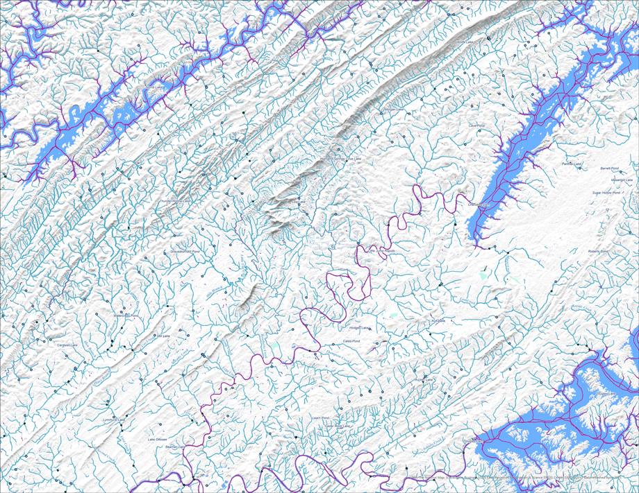
Elevation derived hydrography example
Example of hydrography derived from 3DEP lidar data for a section of the Marshyhope Creek near Federalsburg, Maryland
Example of hydrography derived from 3DEP lidar data for a section of the Marshyhope Creek near Federalsburg, Maryland

Little Santeetlah Creek, Joyce Kilmer Memorial Forest, North Carolina
Little Santeetlah Creek, Joyce Kilmer Memorial Forest, North CarolinaBlack and White image of a heavy stream flow in Little Santeetlah Creek, Joyce Kilmer Memorial Forest, North Carolina
Little Santeetlah Creek, Joyce Kilmer Memorial Forest, North Carolina
Little Santeetlah Creek, Joyce Kilmer Memorial Forest, North CarolinaBlack and White image of a heavy stream flow in Little Santeetlah Creek, Joyce Kilmer Memorial Forest, North Carolina

Dark Hollow Falls
Dark Hollow Falls - Shenandoah National Park, VA
Dark Hollow Falls - Shenandoah National Park, VA

NHD Twitter banner
NHD Twitter banner photo of lake surrounded by mountains
NHD Twitter banner photo of lake surrounded by mountains

Ozark Spring - a perennial spring in Phelps County, Missouri
Ozark Spring - a perennial spring in Phelps County, MissouriOzark Spring is a perennial spring in northern Phelps County, Missouri. It generates a rill that flows into Spring Creek which flows into the Gasconade River. It provides year-round water to livestock in the area.