
Preparing the Nation for Intense Space Weather
Such events can be hazardous to the economy and national security
While major geomagnetic storms are rare, with only a few recorded per century, there is significant potential for large-scale impacts when they do occur. Extreme space weather can be viewed as hazards for the economy and national security.
The entire Canadian province of Québec, which covers twice as much area as the State of Texas, was plunged into darkness on the morning of March 13, 1989. An intense geomagnetic storm seized Québec’s power-grid system, tripping relays, damaging high-voltage transformers, and causing a blackout.
This geomagnetic storm’s impact on Québec pales in comparison to what could happen in the future. A report by the National Academy of Sciences suggests that a rare but powerful magnetic superstorm could cause continent-wide loss of electricity and substantial damage to power-grid infrastructure that could persist for months and cost the Nation in excess of $1 trillion.
“Utility groups rely on historical data collected by long-running USGS [U.S. Geological Survey] magnetic observatories to see what a worst-case scenario could look like,” said Mark Olson, a standards developer with the North American Electric Reliability Corporation (NERC). “These data help NERC draft standards aimed at maintaining reliable operations of the North American power grid.”


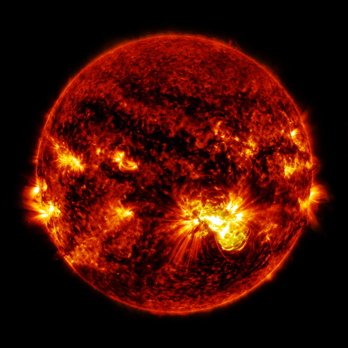
When a large sunspot emerges, the likelihood of an abrupt emission of radiation and an intense solar wind becomes greater. When these winds reach the Earth, electrically charged particles enter the Earth’s magnetosphere, ionosphere, and interior, inducing a geomagnetic storm. The storm can interfere with utilities, infrastructure, and technologies essential to modern society, disrupting daily life, the economy, and national security.
The USGS monitors the Earth’s magnetic field at 14 ground-based observatories positioned across the United States and its territories. Scientists continuously monitor the geomagnetic field throughout the Nation and its territories, providing information on magnetic storm intensity. Some USGS observatories have operated continuously for over 100 years.
“USGS observatories help support infrastructure critical to keeping the electric grid running smoothly in crises,” Olson said.
Utility companies use recently published geoelectric hazard maps to assess the vulnerability of power-grid systems and mitigate the adverse effects of intense magnetic storms, which, Olson says, “have had a history of shutting down the electric grid.”
NERC recently released two reliability standards for utility companies: One requires North American utility companies to develop operating procedures for weathering potentially serious geomagnetic storms, and the other requires utilities to carefully assess their systems to ensure they are prepared for a magnetic storm.
“These standards are supported by historical, global data and real-time information from the USGS on forthcoming hazards so that electric utilities can be as prepared as possible,” Olson said.

People often ask, as with earthquakes, about the next major geomagnetic storm and what is being done to prepare for the storm.
The unique role of the USGS includes monitoring space weather on the ground, to include researching the physical causes and effects of magnetic storms. Scientists develop products useful for real-time situational awareness and assessing the hazardous effects of magnetic storms. The USGS also authors maps of magnetic activity, which are derived from data collected by ground-based observatories. At present, USGS scientists are mapping the nature of the Earth’s lithosphere to construct maps of geomagnetic hazards.
In October 2015, the White House’s National Science and Technology Council released strategic and action plans for coordinating Space Weather Operations, Response, and Mitigation across Federal agencies. These important documents were a multi-agency effort, relying on collaboration between many Federal agencies, including the National Oceanic and Atmospheric Administration from the Department of Commerce; the National Aeronautics and Space Administration; the National Science Foundation; the Departments of Defense, Energy, and Homeland Security; and the USGS from the Department of the Interior.
In addition to electric-power grids, space weather can interfere with radio communications, military and civilian navigational systems, satellites, airline activity, and directional oil and gas drilling.
“With the support of the USGS Geomagnetism team, we can accurately drill and position wellbores in Alaska,” said Benny Poedjono, an advisor from Schlumberger Technology Corporation. “This support has reduced the likelihood of safety and environmental incidents through accurate wellbore placement, something that was previously not possible.”
Read more stories about USGS science in action.