Attention: Users of USGS geospatial data
The National Map provides a new Simple Notification Service and has new URLs for some of its thematic cartographic map services.
Developers using USGS National Map web map services now have an easy way to stay in touch with any upcoming changes to our map services by subscribing to a new Simple Notification Service (SNS). After subscribing, the requestor will receive map and data updates via email to help them stay ahead of any changes that could impact their applications.
Also, as part of an ongoing effort to improve performance and reliability for the suite of USGS web-based map services, the USGS has migrated many of its cartographic overlay services to the cloud, and plans to replace and retire old geospatial URLs on or around June 15, 2018.
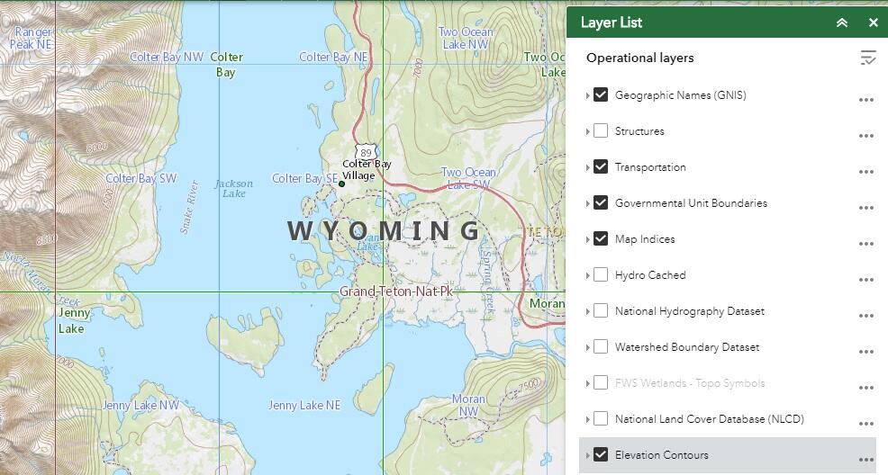
The following dynamic web-based map services currently served directly from USGS endpoints have been migrated to new cloud endpoints and are available for use now
- National Transportation
- Governmental Units/Boundaries
- Geographic Names
- Structures
- Contours
- Map Indices.
This migration will improve the performance and reliability of the services. This change will impact applications presently consuming these layers from the previous service addresses.
The USGS will provide a transition period through the June 15 retirement date. The previous endpoints from USGS servers will continue to be publicly accessible during this transition period. Users will need to use the new cloud service endpoints to access these dynamic services after the transition period ends. In addition, users consuming the services from the previous endpoints may need to update application configurations for display of the desired layers.
Additionally, to ensure maximum promotion, an announcement will be posted in the “What’s New” section on the The National Map website and sent out over the new National Map Simple Notification Service feed.
The National Map Simple Notification Services homepage and registration: https://apps.nationalmap.gov/notifications/
Summary of changes to service endpoints
New carto zone web-based map service endpoints:
New Cloud Endpoint
Contours: https://carto.nationalmap.gov/arcgis/rest/services/Contours/MapServer
Geographic Names: https://carto.nationalmap.gov/arcgis/rest/services/geonames/MapServer
Governmental Units: https://carto.nationalmap.gov/arcgis/rest/services/govunits/MapServer
Map Indicies: https://carto.nationalmap.gov/arcgis/rest/services/map_indices/MapServer
Structures: https://carto.nationalmap.gov/arcgis/rest/services/structures/MapServer
Transportation: https://carto.nationalmap.gov/arcgis/rest/services/transportation/MapServer
Former Internal Endpoints Planned for Retirement
Contours: https://services.nationalmap.gov/arcgis/rest/services/Contours/MapServer
Geographic Names: https://services.nationalmap.gov/arcgis/rest/services/geonames/MapServer
Governmental Units: https://services.nationalmap.gov/arcgis/rest/services/govunits/MapServer
Map Indicies: https://services.nationalmap.gov/arcgis/rest/services/map_indices/MapServer
Structures: https://services.nationalmap.gov/arcgis/rest/services/structures/MapServer
Transportation: https://services.nationalmap.gov/arcgis/rest/services/transportation/MapServer
For any questions, comments, or concerns regarding this update, contact tnm_help@usgs.gov.


