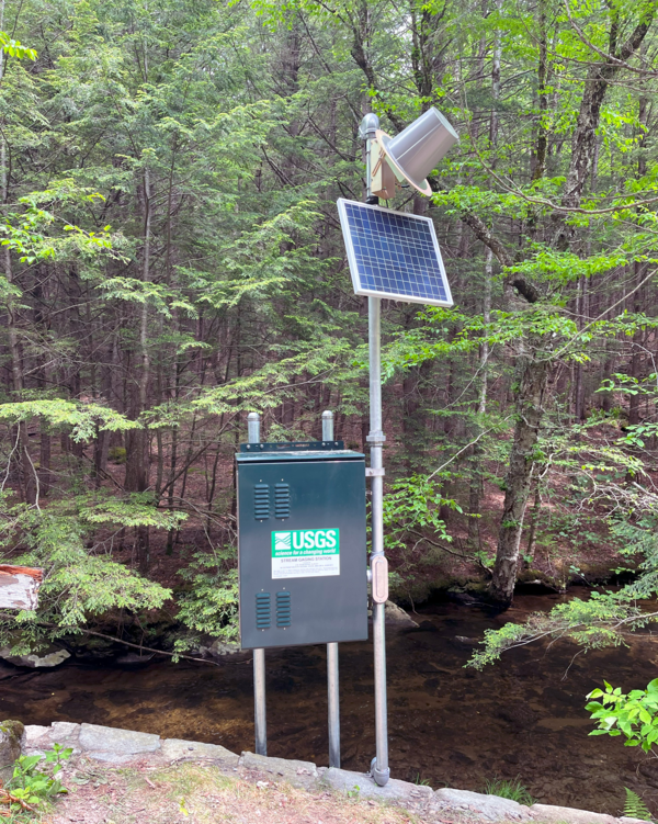
U.S. Geological Survey Mill River at Northampton, Massachusetts streamgage (01171500) on October 11, 2022 looking downstream. The low-flow was about 12 cubic feet per second (cfs) for a 56.2-square-mile drainage area.
Gordon McQuaid
Gordon McQuaid is a Hydrologic Technician in the New England Water Science Center.
Science and Products
U.S. Geological Survey Mill River at Northampton, Massachusetts streamgage (01171500) on October 11, 2022 looking downstream. The low-flow was about 12 cubic feet per second (cfs) for a 56.2-square-mile drainage area.
A downstream view of the Green River near Colrain, Massachusetts close to the USGS streamgage (01170100). The low-flow was about 7.7 cubic feet per second (cfs) for a 41.4-square-mile drainage area.