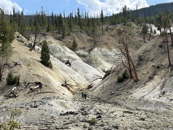
Modern vegetation on different geological substrates in Yellowstone
Modern vegetation on different geological substrates in YellowstoneModern vegetation on different geological substrates in Yellowstone. Left: steppe/grassland on glacial clay found in places like Lamar and Hayden Valleys. Center: Mixed conifer forest in the Absaroka andesite volcanic field in the eastern part of Yellowstone National Park. Right: Lodgepole pine forest on Central Plateau rhyolite (hydrothermal grass