
Figure 8 Lake, looking north, Bottomless Lakes State Park. Pecos River Watershed Salinity Study. 2011 field trip, New Mexico.
Images
Photographs taken by Oklahoma-Texas Water Science Center employees at local, national, and international project locations.
Filter Total Items: 551

Figure 8 Lake - looking north
Figure 8 Lake, looking north, Bottomless Lakes State Park. Pecos River Watershed Salinity Study. 2011 field trip, New Mexico.

Pecos River at Hwy 409 below Roswell, NM - Downstream view
Pecos River at Hwy 409 below Roswell, NM - Downstream viewPecos River at Hwy 409 below Roswell, NM - Downstream view. Pecos River Watershed Salinity Study. 2011 field trip, New Mexico.
Pecos River at Hwy 409 below Roswell, NM - Downstream view
Pecos River at Hwy 409 below Roswell, NM - Downstream viewPecos River at Hwy 409 below Roswell, NM - Downstream view. Pecos River Watershed Salinity Study. 2011 field trip, New Mexico.

Pier at Lake Van, NM
Pier at Lake Van, NM. Pecos River Watershed Salinity Study. 2011 field trip, New Mexico.
Pier at Lake Van, NM. Pecos River Watershed Salinity Study. 2011 field trip, New Mexico.

Bitter Lakes, NM - landscape view
Bitter Lakes, NM - landscape view. Pecos River Watershed Salinity Study. 2011 field trip, New Mexico.
Bitter Lakes, NM - landscape view. Pecos River Watershed Salinity Study. 2011 field trip, New Mexico.

Lazy Lagoon, Bottomless Lakes State Park, NM
Lazy Lagoon, Bottomless Lakes State Park, NM. Pecos River Watershed Salinity Study. 2011 field trip, New Mexico.
Lazy Lagoon, Bottomless Lakes State Park, NM. Pecos River Watershed Salinity Study. 2011 field trip, New Mexico.

Lazy Lagoon, Bottomless Lakes State Park, NM - Photo 3
Lazy Lagoon, Bottomless Lakes State Park, NM - Photo 3Lazy Lagoon, Bottomless Lakes State Park, NM - Photo 3. Pecos River Watershed Salinity Study. 2011 field trip, New Mexico.
Lazy Lagoon, Bottomless Lakes State Park, NM - Photo 3
Lazy Lagoon, Bottomless Lakes State Park, NM - Photo 3Lazy Lagoon, Bottomless Lakes State Park, NM - Photo 3. Pecos River Watershed Salinity Study. 2011 field trip, New Mexico.

Pecos River at Hwy 409 below Roswell, NM - Landscape view
Pecos River at Hwy 409 below Roswell, NM - Landscape viewPecos River at Hwy 409 below Roswell, NM - Landscape view. Pecos River Watershed Salinity Study. 2011 field trip, New Mexico.
Pecos River at Hwy 409 below Roswell, NM - Landscape view
Pecos River at Hwy 409 below Roswell, NM - Landscape viewPecos River at Hwy 409 below Roswell, NM - Landscape view. Pecos River Watershed Salinity Study. 2011 field trip, New Mexico.

Lake Van, NM
Lake Van, NM. Pecos River Watershed Salinity Study. 2011 field trip, New Mexico.
Lake Van, NM. Pecos River Watershed Salinity Study. 2011 field trip, New Mexico.

Evaporation pond - Malaga Bend
Evaporation pond - Malaga Bend. Pecos River Watershed Salinity Study. 2011 field trip, New Mexico.
Evaporation pond - Malaga Bend. Pecos River Watershed Salinity Study. 2011 field trip, New Mexico.

Black River - Landscape view 1
Black River - Landscape view 1. Pecos River Watershed Salinity Study. 2011 field trip, New Mexico.
Black River - Landscape view 1. Pecos River Watershed Salinity Study. 2011 field trip, New Mexico.

Headwater springs of the Black River, NM - Landscape view
Headwater springs of the Black River, NM - Landscape viewHeadwater springs of the Black River, NM - Landscape view. Pecos River Watershed Salinity Study. 2011 field trip, New Mexico.
Headwater springs of the Black River, NM - Landscape view
Headwater springs of the Black River, NM - Landscape viewHeadwater springs of the Black River, NM - Landscape view. Pecos River Watershed Salinity Study. 2011 field trip, New Mexico.

Headwater springs of the Black River, NM
Headwater springs of the Black River, NM. Pecos River Watershed Salinity Study. 2011 field trip, New Mexico.
Headwater springs of the Black River, NM. Pecos River Watershed Salinity Study. 2011 field trip, New Mexico.

Red Bluff Reservoir, Tx - Outfall
Red Bluff Reservoir, Tx - Outfall. Pecos River Watershed Salinity Study. 2011 and 2012 field trip, Texas.
Red Bluff Reservoir, Tx - Outfall. Pecos River Watershed Salinity Study. 2011 and 2012 field trip, Texas.

Outcrop - Red Bluff Reservoir
Outcrop - Red Bluff Reservoir. Pecos River Watershed Salinity Study. 2011 and 2012 field trip, Texas.
Outcrop - Red Bluff Reservoir. Pecos River Watershed Salinity Study. 2011 and 2012 field trip, Texas.
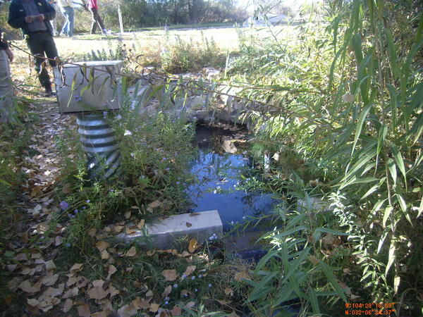
Drain at Rattlesnake Spring
Drain at Rattlesnake Spring. Pecos River Watershed Salinity Study. 2011 field trip, New Mexico.
Drain at Rattlesnake Spring. Pecos River Watershed Salinity Study. 2011 field trip, New Mexico.

Red Bluff Reservoir - Landscape
Red Bluff Reservoir - Landscape. Pecos River Watershed Salinity Study. 2011 and 2012 field trip, Texas.
Red Bluff Reservoir - Landscape. Pecos River Watershed Salinity Study. 2011 and 2012 field trip, Texas.

Blue Spring - landscape view
Blue Spring - landscape view. Pecos River Watershed Salinity Study. 2011 field trip, New Mexico.
Blue Spring - landscape view. Pecos River Watershed Salinity Study. 2011 field trip, New Mexico.

Headwater springs of the Black River, NM - Landscape view 2
Headwater springs of the Black River, NM - Landscape view 2Headwater springs of the Black River, NM - Landscape view 2. Pecos River Watershed Salinity Study. 2011 field trip, New Mexico.
Headwater springs of the Black River, NM - Landscape view 2
Headwater springs of the Black River, NM - Landscape view 2Headwater springs of the Black River, NM - Landscape view 2. Pecos River Watershed Salinity Study. 2011 field trip, New Mexico.

Overflow at Red Bluff
Overflow at Red Bluff. Pecos River Watershed Salinity Study. 2011 and 2012 field trip, Texas.
Overflow at Red Bluff. Pecos River Watershed Salinity Study. 2011 and 2012 field trip, Texas.

Black River - Blue spring flow
Black River - Blue spring flow. Pecos River Watershed Salinity Study. 2011 field trip, New Mexico.
Black River - Blue spring flow. Pecos River Watershed Salinity Study. 2011 field trip, New Mexico.

Rattlesnake Spring - Landscape view
Rattlesnake Spring - Landscape view. Pecos River Watershed Salinity Study. 2011 field trip, New Mexico.
Rattlesnake Spring - Landscape view. Pecos River Watershed Salinity Study. 2011 field trip, New Mexico.