NMISC groundwater well for Pecos River flow augmentation at 7 Rivers site, NM
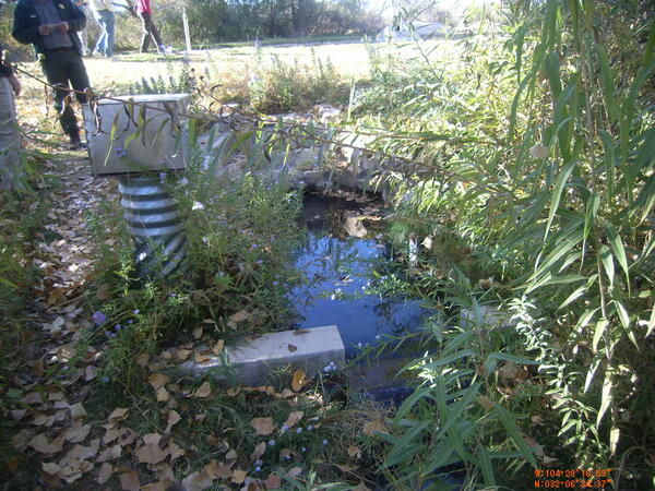
NMISC groundwater well for Pecos River flow augmentation at 7 Rivers site, NMNMISC groundwater well for Pecos River flow augmentation at 7 Rivers site, Lake Brantley, NM. Pecos River Watershed Salinity Study. 2011 field trip, New Mexico.