
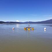
Upper Klamath Lake
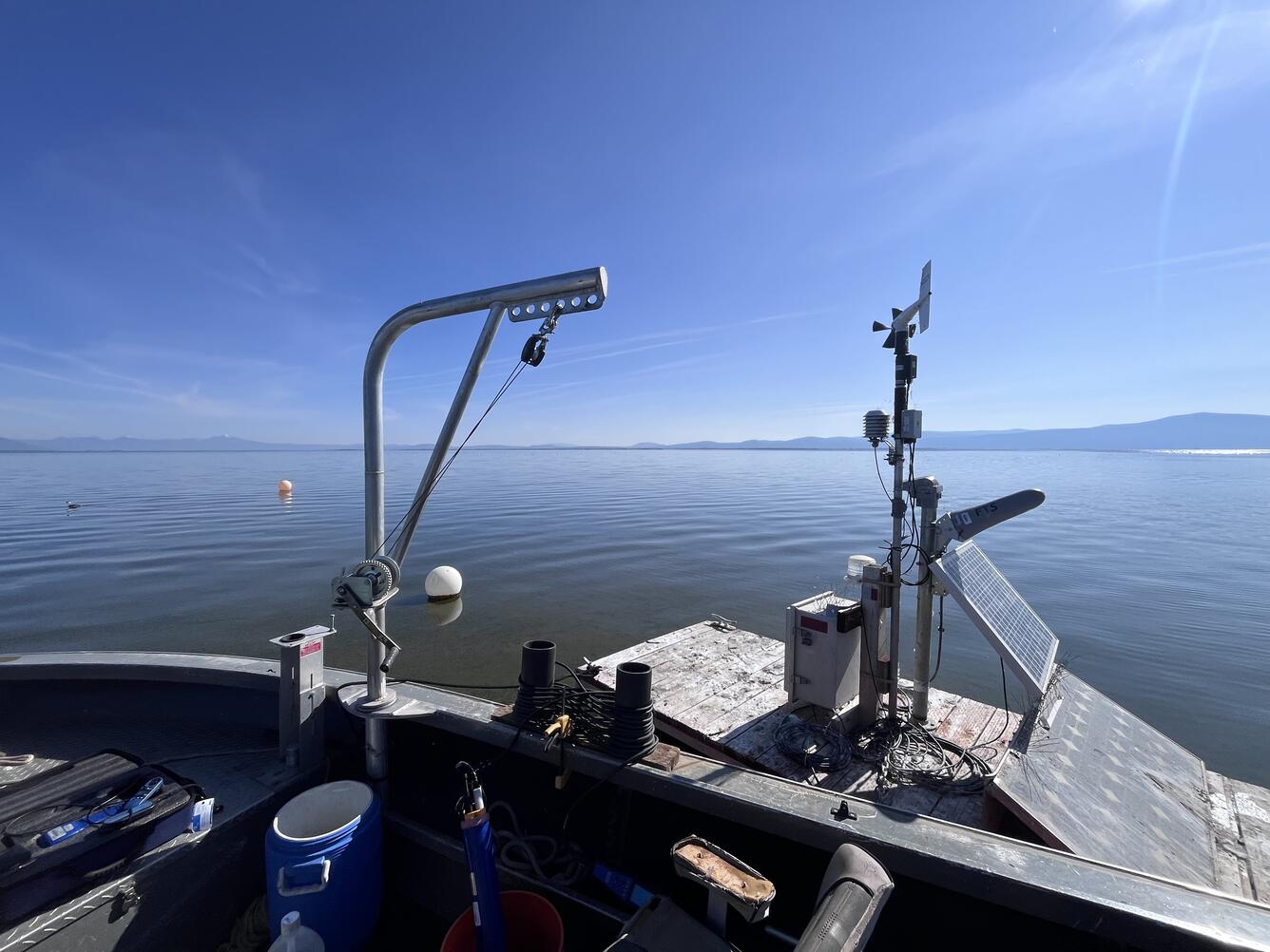
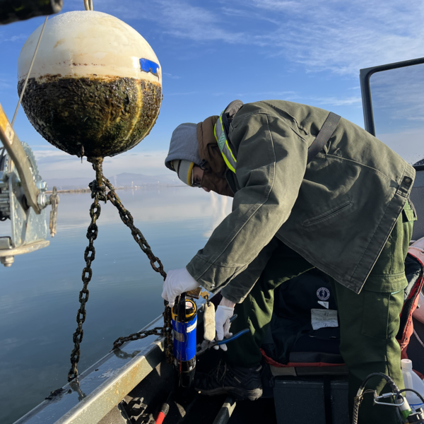
USGS Research boat in Shoalwater Bay
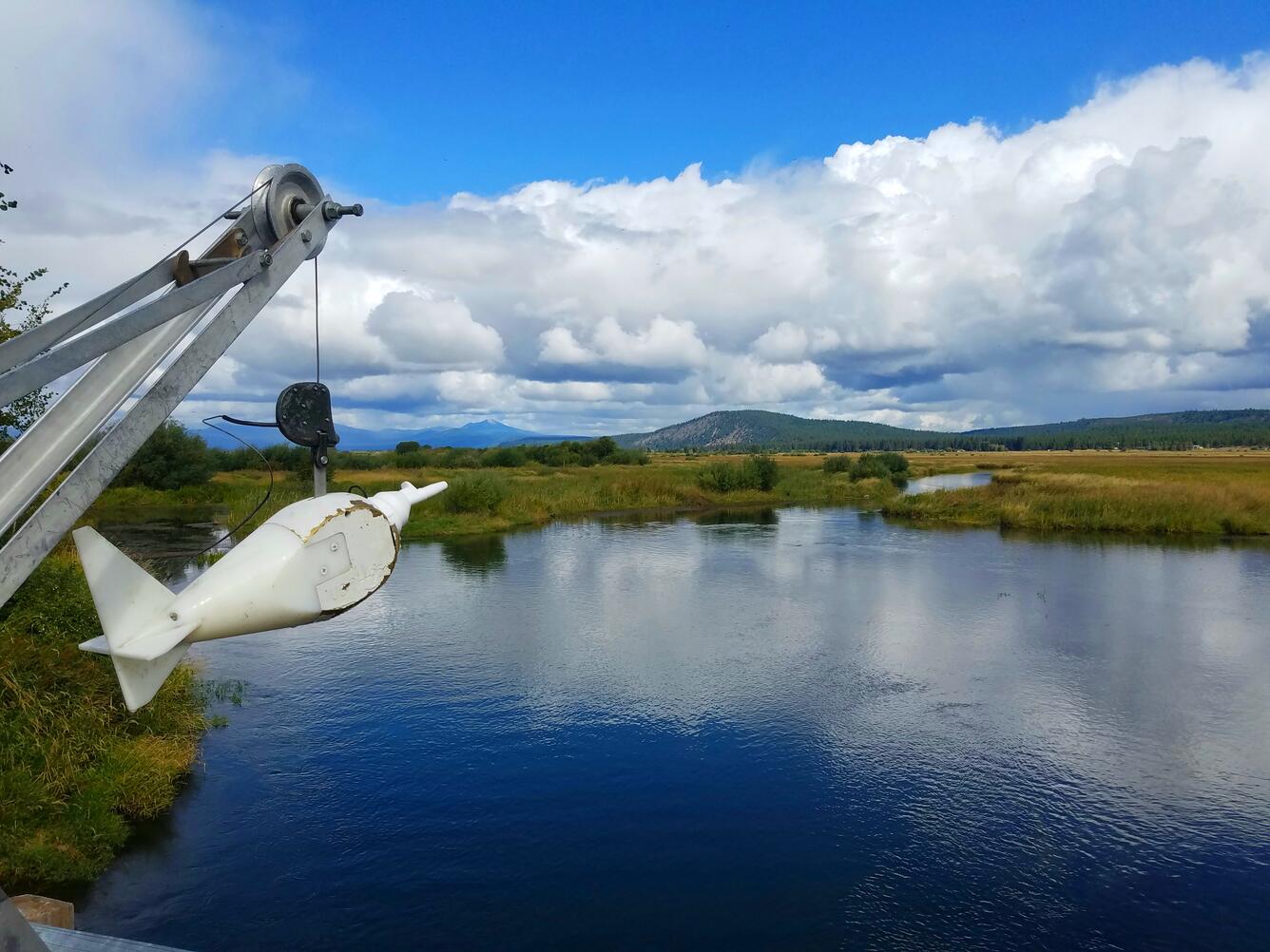
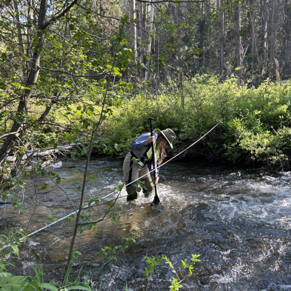
Measuring the Chewaucan River
The Oregon Water Science Center’s Klamath Falls Field Office provides surface-water and water-quality data to support the basin’s most pressing water-resource and ecosystem needs.
Location details
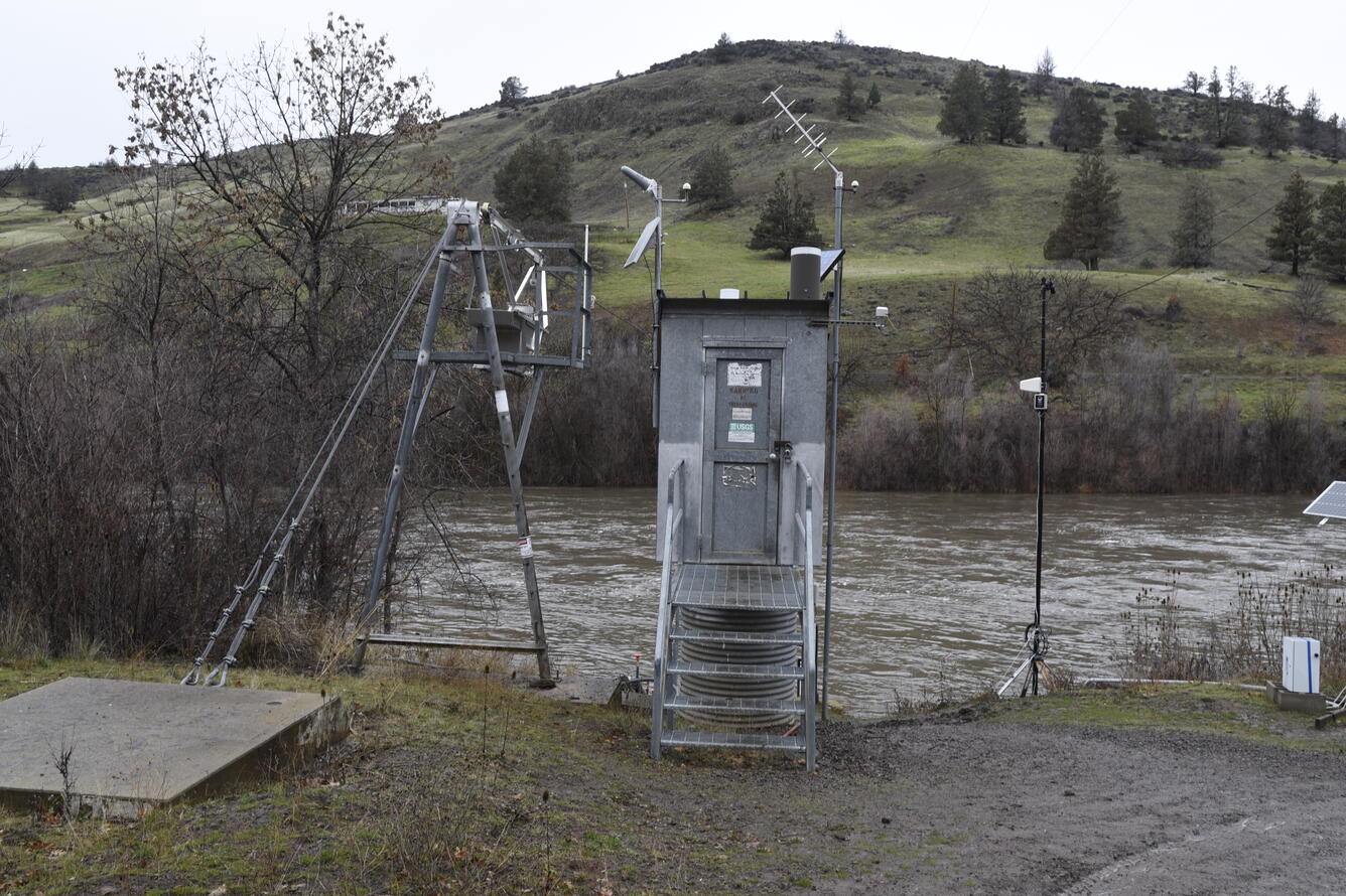
The Klamath Falls Field Office (KFFO) operates more than 50 surface water quantity, water quality, and atmospheric monitoring stations in the Upper Klamath Basin, resulting in 150 published time series datasets per water year.
We’re located at the U.S. Bureau of Reclamation’s (USBR) Klamath Basin Area Office, and we share facilities with our USBR partners and fellow USGS colleagues with the Western Fisheries Research Center's (WFRC) Klamath Falls Field Station. At KFFO we monitor surface water quantity and quality while the WFRC staff conduct biological research on the basin’s fish populations.
Supporting Klamath Basin water quantity and quality needs
Water availability in the Klamath Basin is strained due to multiple competing demands for water. Resource managers need accurate streamflow, water-quality, groundwater and surface water level data to balance water distribution for aquatic ecosystems, wildlife, agriculture, and human needs.
Water quality is important for environmental health, water resources, and recreation. Upper Klamath Lake has historically been naturally rich in nutrients (eutrophic) but has become hypereutrophic in the last 100 years causing poor water quality during the summer months. Poor water quality is one of several factors presumed to impact the survival of juvenile Shortnose sucker (Chasmistes brevirostris, Koptu) and Lost River sucker (Deltistes luxatus, C’waam), two culturally important species to the Klamath Tribes that are protected under the Endangered Species Act.
Outflows from Upper Klamath Lake, wastewater treatment plants, the Lost River, and irrigation diversion canals contain nutrient loads and algae that contribute to water quality downstream in the Klamath River.
How we help
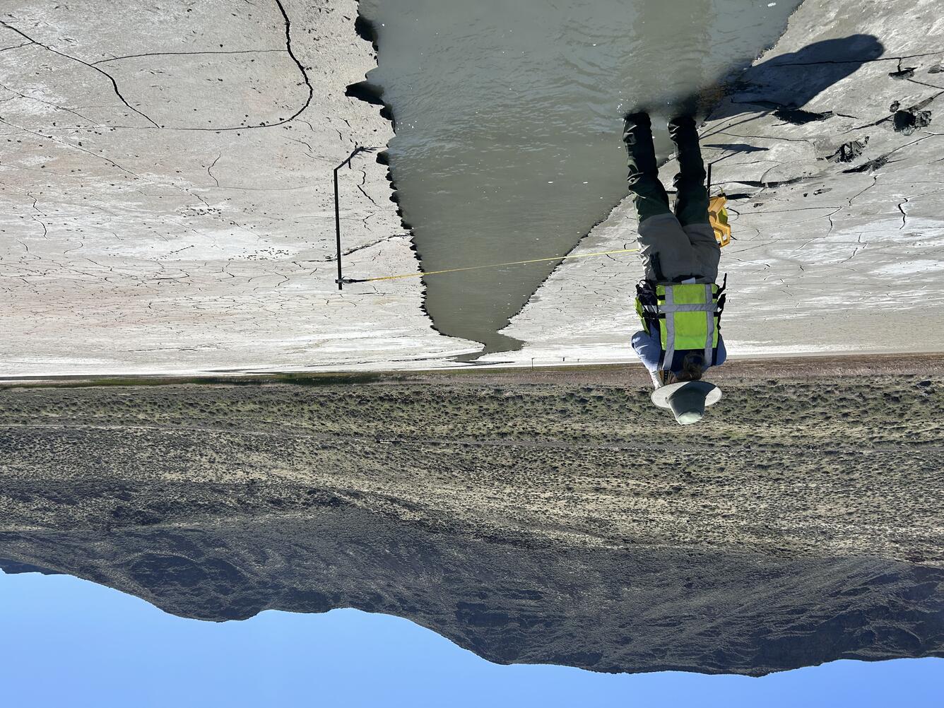
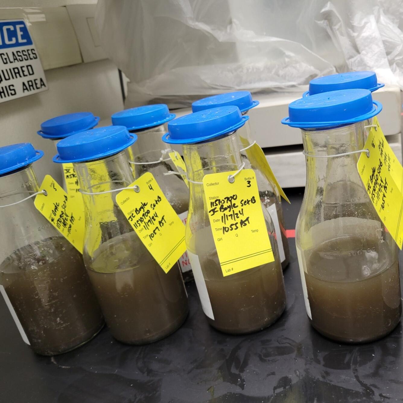
KFFO hydrologic technicians operate year-round monitoring stations that measure streamflow, surface water levels, and water quality in Upper Klamath Lake and its tributaries and outflow, and agricultural canals. They regularly collect water samples to test for concentrations of ammonia, nitrogen, phosphorus, nitrates, and the algal toxin microcystin. Samples of chlorophyll also help determine abundance of algae.
During the warm summer months when algae blooms occur, the water quality monitoring network expands with additional water quality sensors and sampling on the lake.


Supporting the largest dam removal in U.S. history
Removing four dams on the Klamath River created new river conditions that affect water quality, sediment transport, and geomorphology. It stands as the largest dam removal in the United States in terms of the number of the dams removed at once and the geographic area affected.
KFFO technicians alongside the Karuk and Yurok Tribes and the USGS California Water Science Center collected suspended-sediment samples, monitored water quality, and measured streamflow throughout all phases of dam removal. This data underpins a historic advance in river and restoration science.
What’s a typical field day like?
Here are some of our most common tasks:
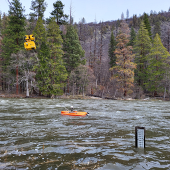
- Streamflow measurements
- From bridges, boats, cableways, and by wading rivers & streams
- Water-quality sensor calibration and maintenance
- Sediment sampling
- Water-quality sampling
- Sample processing
- Programming and operating environmental sensors
- Repairing gaging station solar power and telemetry systems
KFFO data collection activities support countless studies within USGS & beyond and inform critical resource management decisions.
Some of the science our work supports.

Water Quality in Keno Reach of the Klamath River

Nutrient and Sediment Loading to Upper Klamath Lake
Integrating water availability in the Klamath Basin: from drought to dam removal

Saline Lake Ecosystems Integrated Water Availability Assessment

Upper Klamath Basin Studies and Data Collection

Upper Klamath Basin Groundwater Studies

Modeling the water-quality effects to the Klamath River from drain recirculation

Klamath Dam Removal Studies
The Oregon Water Science Center’s Klamath Falls Field Office provides surface-water and water-quality data to support the basin’s most pressing water-resource and ecosystem needs.
Location details
The Klamath Falls Field Office (KFFO) operates more than 50 surface water quantity, water quality, and atmospheric monitoring stations in the Upper Klamath Basin, resulting in 150 published time series datasets per water year.
We’re located at the U.S. Bureau of Reclamation’s (USBR) Klamath Basin Area Office, and we share facilities with our USBR partners and fellow USGS colleagues with the Western Fisheries Research Center's (WFRC) Klamath Falls Field Station. At KFFO we monitor surface water quantity and quality while the WFRC staff conduct biological research on the basin’s fish populations.
Supporting Klamath Basin water quantity and quality needs
Water availability in the Klamath Basin is strained due to multiple competing demands for water. Resource managers need accurate streamflow, water-quality, groundwater and surface water level data to balance water distribution for aquatic ecosystems, wildlife, agriculture, and human needs.
Water quality is important for environmental health, water resources, and recreation. Upper Klamath Lake has historically been naturally rich in nutrients (eutrophic) but has become hypereutrophic in the last 100 years causing poor water quality during the summer months. Poor water quality is one of several factors presumed to impact the survival of juvenile Shortnose sucker (Chasmistes brevirostris, Koptu) and Lost River sucker (Deltistes luxatus, C’waam), two culturally important species to the Klamath Tribes that are protected under the Endangered Species Act.
Outflows from Upper Klamath Lake, wastewater treatment plants, the Lost River, and irrigation diversion canals contain nutrient loads and algae that contribute to water quality downstream in the Klamath River.
How we help
KFFO hydrologic technicians operate year-round monitoring stations that measure streamflow, surface water levels, and water quality in Upper Klamath Lake and its tributaries and outflow, and agricultural canals. They regularly collect water samples to test for concentrations of ammonia, nitrogen, phosphorus, nitrates, and the algal toxin microcystin. Samples of chlorophyll also help determine abundance of algae.
During the warm summer months when algae blooms occur, the water quality monitoring network expands with additional water quality sensors and sampling on the lake.
Supporting the largest dam removal in U.S. history
Removing four dams on the Klamath River created new river conditions that affect water quality, sediment transport, and geomorphology. It stands as the largest dam removal in the United States in terms of the number of the dams removed at once and the geographic area affected.
KFFO technicians alongside the Karuk and Yurok Tribes and the USGS California Water Science Center collected suspended-sediment samples, monitored water quality, and measured streamflow throughout all phases of dam removal. This data underpins a historic advance in river and restoration science.
What’s a typical field day like?
Here are some of our most common tasks:
- Streamflow measurements
- From bridges, boats, cableways, and by wading rivers & streams
- Water-quality sensor calibration and maintenance
- Sediment sampling
- Water-quality sampling
- Sample processing
- Programming and operating environmental sensors
- Repairing gaging station solar power and telemetry systems
KFFO data collection activities support countless studies within USGS & beyond and inform critical resource management decisions.
Some of the science our work supports.
Water Quality in Keno Reach of the Klamath River
Nutrient and Sediment Loading to Upper Klamath Lake
Integrating water availability in the Klamath Basin: from drought to dam removal
Saline Lake Ecosystems Integrated Water Availability Assessment
Upper Klamath Basin Studies and Data Collection
Upper Klamath Basin Groundwater Studies
Modeling the water-quality effects to the Klamath River from drain recirculation