
Centennial Streamgages in Washington State
In 1887 the USGS began monitoring streamflow in the Yakima River at Kiona, WA. The streamgage is still in operation, providing real-time data to inform decision-making and serve the public. The Kiona gage is one of several centennial streamgages in Washington State, locations where USGS recorded data for at least 100 years.
Streamgages enable hydrologists to record stream water levels and streamflow without needing to constantly make direct measurements. The Nation’s water needs have evolved over the past 100+ years and so has much of the technology used to measure water. USGS streamgage monitoring data continues to benefit communities by providing information about flooding, drought, safety, and engineering design.
Long-term records of streamflow are especially prized. Longer records contain information that allows scientists to conduct statistical analyses and examine trends through time. Additionally, streamgages record how often a river has flooded in the past and thus provide information about how frequently flooding might occur in the future. Centennial streamgages are designated as locations where the USGS has monitored rivers and streams for 100 years or more.
Centennial Streamgages in Washington State
Total: 29 centennial gages in Washington
You may view centennial gage locations in the map widget.
Updated: January 2025
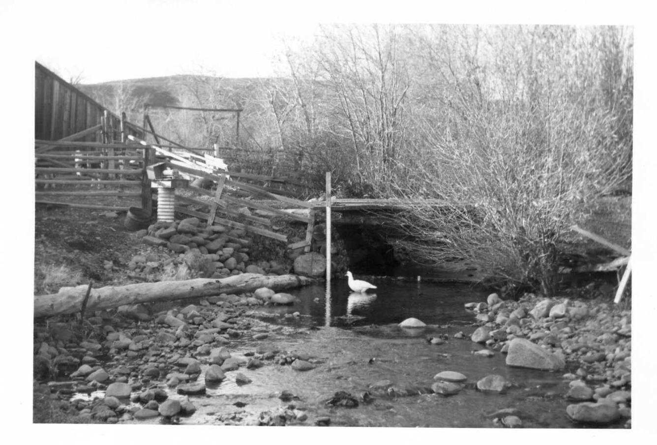
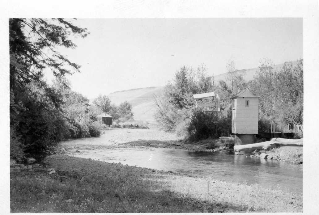
Explore historical photos of streamgaging in Washington State


Related

Centennial Streamgages

Federal Priority Streamgages (FPS)

USGS National Streamgaging Network
USGS National Streamgaging Network

Streamgaging Basics

How do we benefit from USGS streamgages? How do we benefit from USGS streamgages?
Information on the flow of rivers is a vital national asset that safeguards lives, protects property, and ensures adequate water supplies for the future. The USGS is the federal agency responsible for operating a network of about 7,000 streamgages nationwide. Data from this network are used by water managers, emergency responders, utilities, environmental agencies, universities, consulting firms...

Where can I get real-time and historical streamflow information? Where can I get real-time and historical streamflow information?
Water Data for the Nation (WDFN) is the home for USGS streamflow, groundwater, and water quality data. Through WDFN you can find different tools to look at historic and real-time streamflow data, find sites of interest, and access using USGS water data application programming interfaces (APIs). State pages (e.g., California) allow you to discover real-time data in your state, or you can create a...
Related
Centennial Streamgages
Federal Priority Streamgages (FPS)
USGS National Streamgaging Network
USGS National Streamgaging Network
Streamgaging Basics
How do we benefit from USGS streamgages? How do we benefit from USGS streamgages?
Information on the flow of rivers is a vital national asset that safeguards lives, protects property, and ensures adequate water supplies for the future. The USGS is the federal agency responsible for operating a network of about 7,000 streamgages nationwide. Data from this network are used by water managers, emergency responders, utilities, environmental agencies, universities, consulting firms...
Where can I get real-time and historical streamflow information? Where can I get real-time and historical streamflow information?
Water Data for the Nation (WDFN) is the home for USGS streamflow, groundwater, and water quality data. Through WDFN you can find different tools to look at historic and real-time streamflow data, find sites of interest, and access using USGS water data application programming interfaces (APIs). State pages (e.g., California) allow you to discover real-time data in your state, or you can create a...