
Landsat View of Ethiopia’s Highlands and the Harenna Forest
Detailed Description
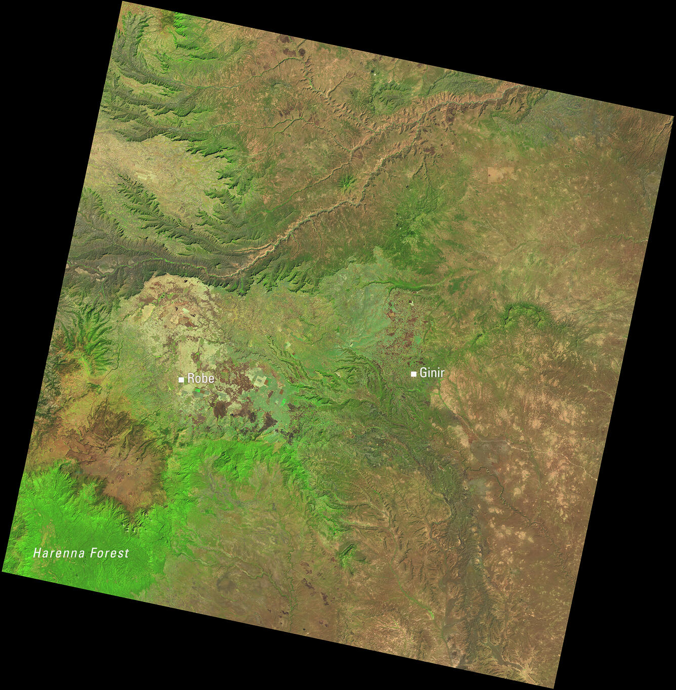
This Landsat 8 image of central Ethiopia, acquired January 1, 2014, uses the shortwave infrared, near infrared, and red spectral bands (bands 6,5,4) to emphasize vegetation and land cover. In this combination, healthy vegetation appears bright green. The towns of Robe and Ginir and the Harenna Forest in the Bale Mountains stand out in this view of one of Ethiopia’s most important ecological regions.
Scene ID: LC08_L1TP_167055_20140111_20200912_02_T1
Learn more about Landsat at the USGS Landsat Missions website.
Sources/Usage
Public Domain.