


Water Quality training at Uzbekistan’s Hydrometeorological Research Institute
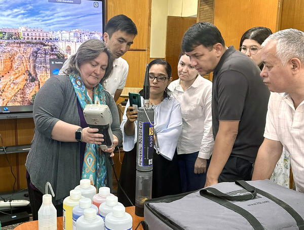
Water Quality training at Uzbekistan’s Hydrometeorological Research InstituteAt Hydrometeorological Research Institute’s Office in Tashkent, Uzbekistan, Cassi Crowe (Water Quality Specialist, Oklahoma-Texas Water Science Center) describes calibration procedures for water quality monitors to researchers and students.
