
Figure 5 offshore Morro Bay seafloor detail

Detailed Description
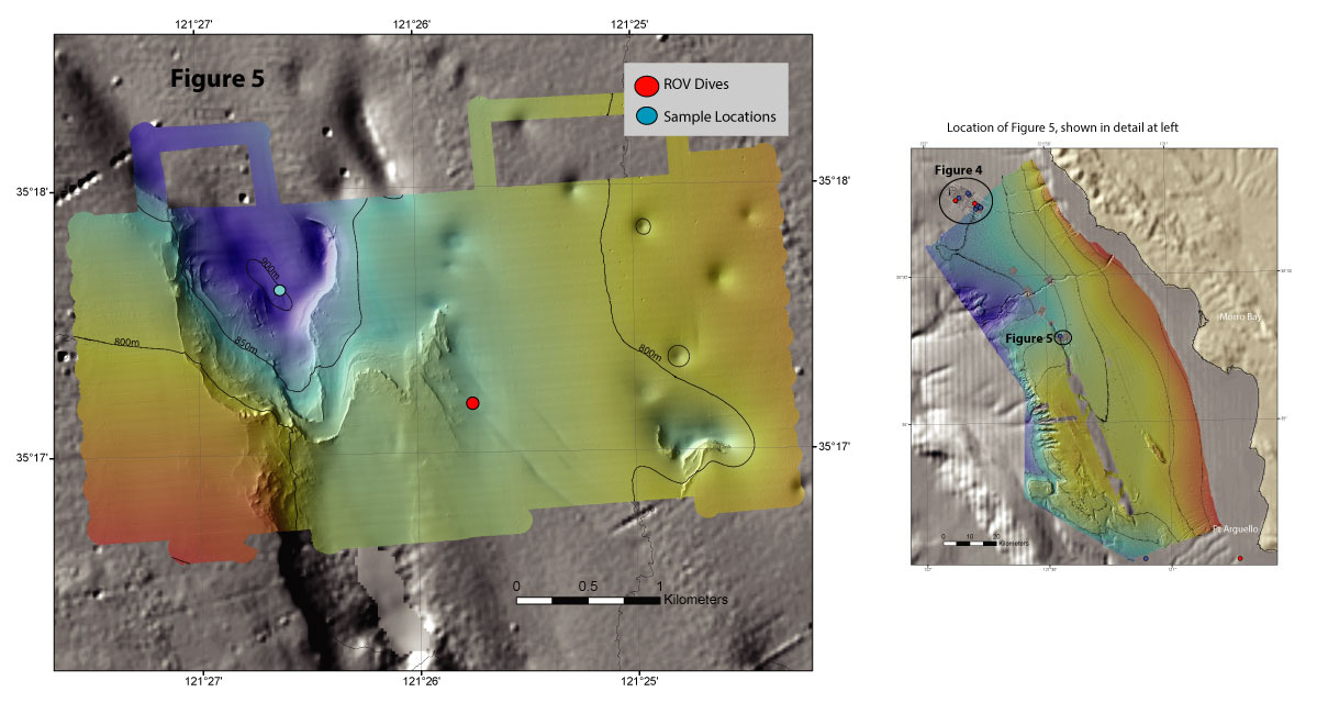
Colored shaded-relief bathymetry including pockmarks offshore Morro Bay, California. Map generated from AUV-based multibeam bathymetry data collected by MBARI.
Figure 1: EXPRESS surveys, dives, and sampling locations
Figure 2: Trinidad Submarine Canyon bathymetry
Figure 3: Offshore central California bathymetry
Figure 4: Morro Bay bathymetry
Figure 5: Morro Bay bathymetry (this map)
Sources/Usage
Public Domain.