
Geodetic Surveying to Monitor Land Subsidence at Fort McHenry

Detailed Description
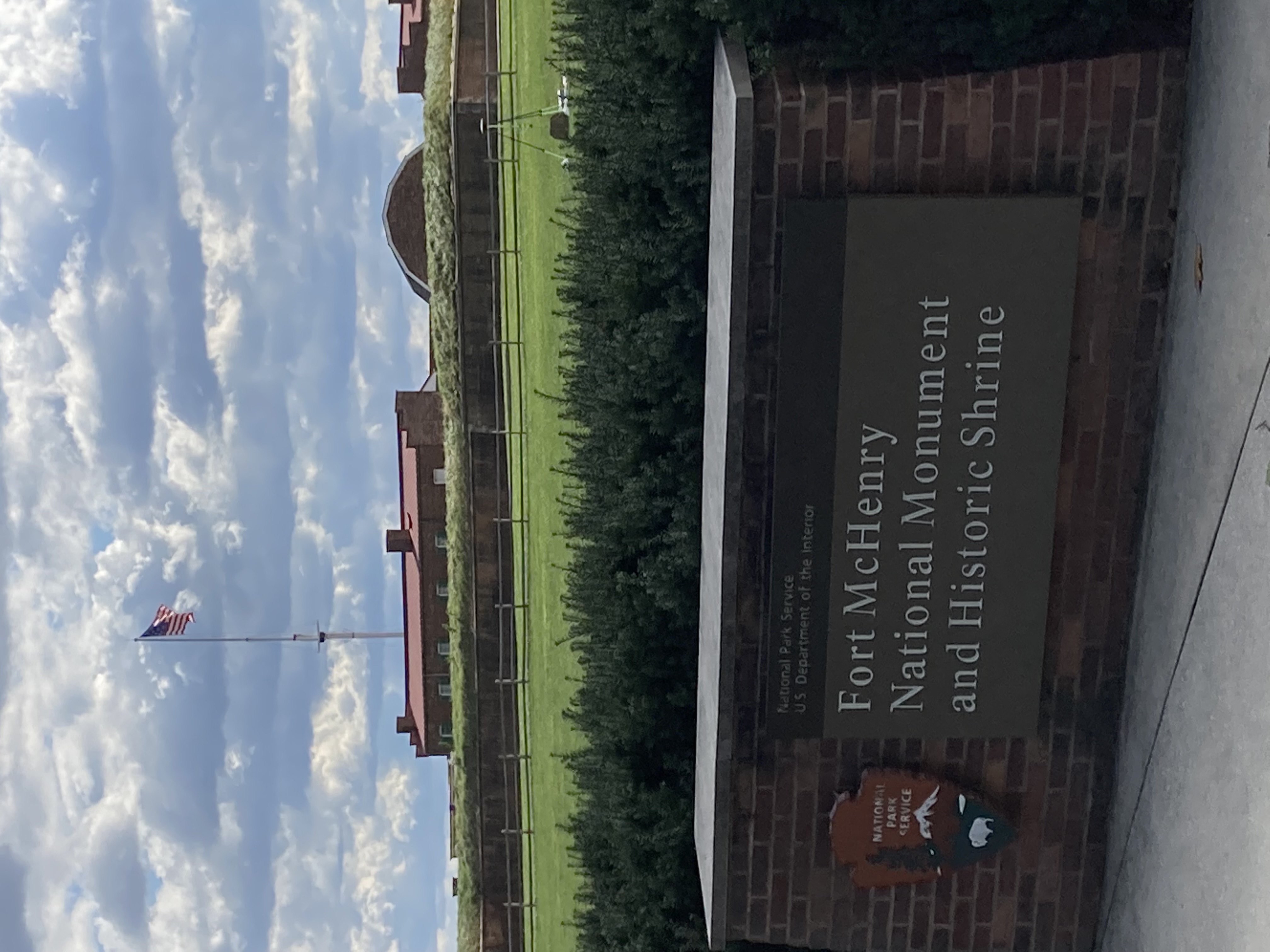
A photograph of geodetic surveying at the Fort McHenry National Monument and Historic Site (National Park Service).
Sources/Usage
Public Domain.
Related

Progress Through Partnerships - Chesapeake Bay Vertical Land Motion Project
Chesapeake Bay region has the highest rate of relative sea-level rise on the Atlantic Coast of the United States, and data indicate that vertical land motion in the form of subsidence has been responsible for more than half the relative sea-level rise measured in the Chesapeake Bay region. The Chesapeake Bay Vertical Land Motion Project is a cooperative effort between the USGS and our many...

New Crowd Sourcing Will Contribute to Study of Land Subsidence and Sea-Level Rise in the Chesapeake Bay
Issue: Chesapeake Bay region has the highest rate of relative sea-level rise on the Atlantic Coast of the United States. Scientists use the term relative sea-level rise to describe the change in ocean height relative to changes in land elevation. Data indicate that vertical land motion in the form of subsidence has been responsible for more than half the relative sea-level rise measured in the...
Chesapeake Bay Benchmark Monitoring Network
Chesapeake Bay Benchmark Monitoring Network


Related
Progress Through Partnerships - Chesapeake Bay Vertical Land Motion Project
Chesapeake Bay region has the highest rate of relative sea-level rise on the Atlantic Coast of the United States, and data indicate that vertical land motion in the form of subsidence has been responsible for more than half the relative sea-level rise measured in the Chesapeake Bay region. The Chesapeake Bay Vertical Land Motion Project is a cooperative effort between the USGS and our many...
New Crowd Sourcing Will Contribute to Study of Land Subsidence and Sea-Level Rise in the Chesapeake Bay
Issue: Chesapeake Bay region has the highest rate of relative sea-level rise on the Atlantic Coast of the United States. Scientists use the term relative sea-level rise to describe the change in ocean height relative to changes in land elevation. Data indicate that vertical land motion in the form of subsidence has been responsible for more than half the relative sea-level rise measured in the...
Chesapeake Bay Benchmark Monitoring Network
Chesapeake Bay Benchmark Monitoring Network