
Geologic Mapping in the Adirondacks
Detailed Description
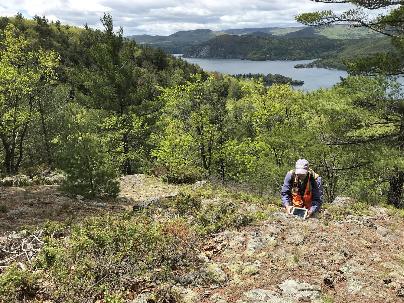
Greg Walsh conducts geologic mapping in the Adirondacks with Lake George and Rogers Rock in the distance. To learn about the Northeast Bedrock Mapping Project, click HERE.
Sources/Usage
Public Domain.