
Landsat 8 image of Maryland/Virginia coast
By Earth Resources Observation and Science (EROS) Center
2015 (approx.)

Detailed Description
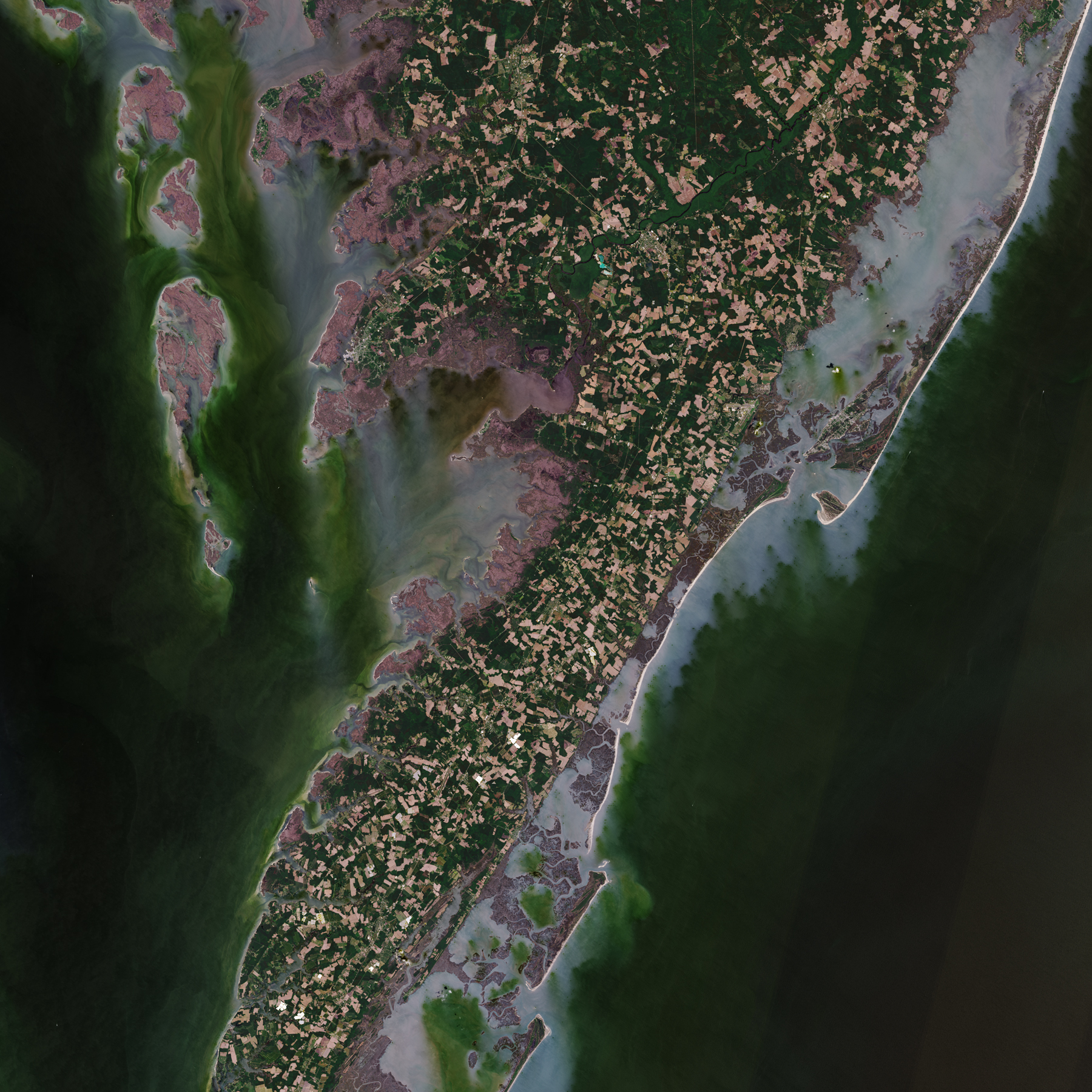
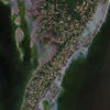
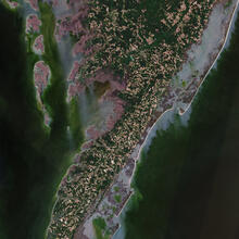
This natural-color Landsat 8 view of the coast of Maryland and Virginia from May 2015 shows Assateague Island on the upper right with a thin ribbon of white sand on the eastern edge. The Atlantic Ocean covers the right side of the image, and the Chesapeake Bay the left. Chincoteague Bay lies between Assateague Island and the mainland.
Sources/Usage
Public Domain.