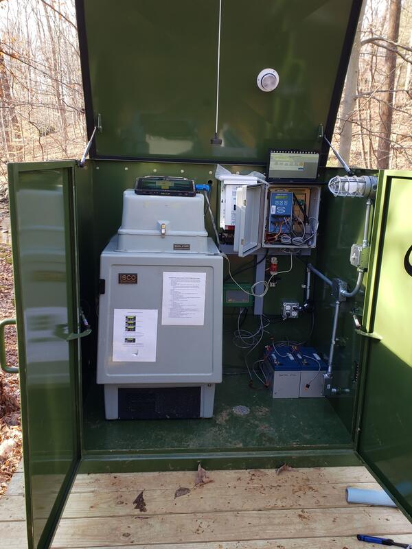
Long Branch Monitoring Site in winter, Fairfax, VA
Detailed Description
Photo of the Long Branch intensive water monitoring site. This site is a part of the Fairfax County Water Resource Monitoring Network.
Sources/Usage
Public Domain.
Related
Fairfax County Water Resources Monitoring Network
Filter Total Items: 54
Stormflow at Old courthouse spring branch in Fairfax County, Virginia
Difficult Run monitoring station in Great Falls, VA
Measuring water quality parameters at Accotink Creek
Rabbit Branch Stream (pre-restoration), Fairfax County
USGS hydrologic technician preparing a sonde for deployment
USGS Precipitation Gage at Franklin Middle School in Fairfax County
USGS Precipitation Gage at Churchill Road Park in Fairfax County
Measuring sediment deposition in a floodplain using soil cores
USGS scientist takes water sample from a Fairfax County stream
Streambank Erosion at the Long Branch Monitoring Site
Geonarrative: How and why are conditions changing in Fairfax streams? Geonarrative: How and why are conditions changing in Fairfax streams?
This interactive narrative summarizes a new U.S. Geological Survey report wherein monitoring data collected between 2007 and 2018 are used to provide insights into the changing water quality of urban streams in Fairfax County and the potential role of water-quality management practices.