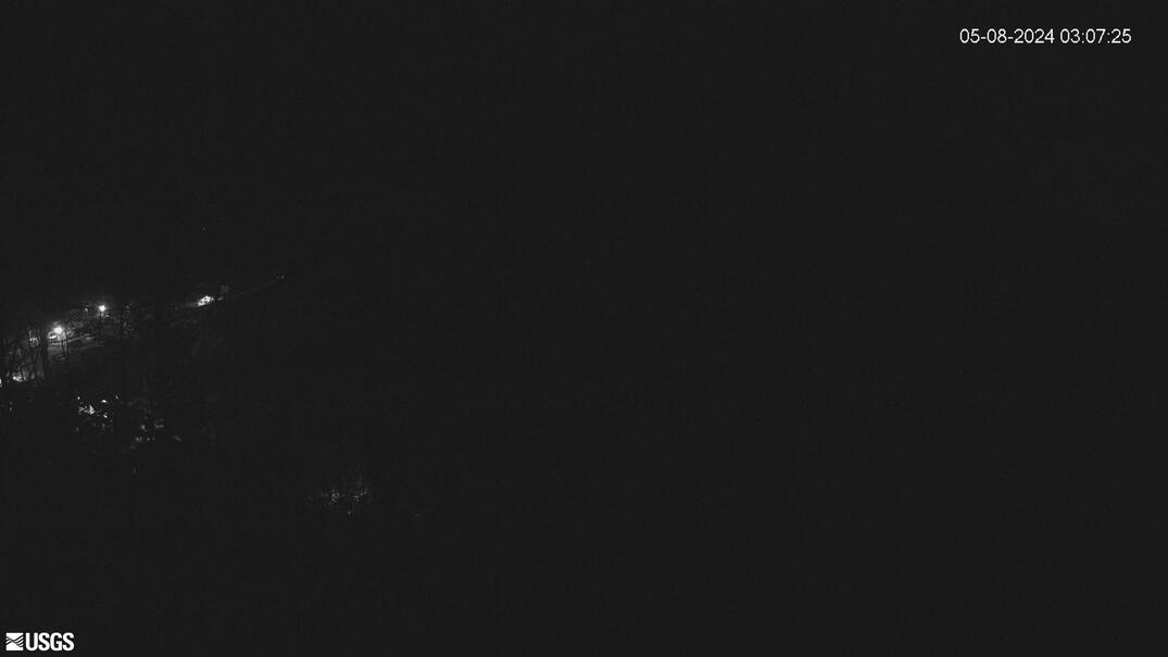
[PGcam] Lower East Rift Zone Camera from Lower East Rift Zone
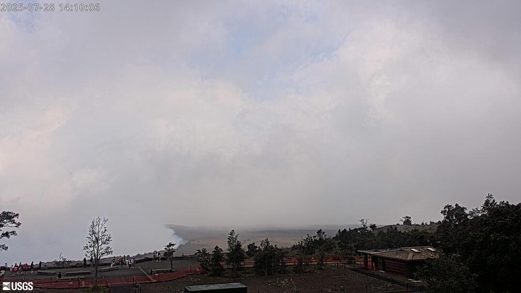
[PGcam] Lower East Rift Zone Camera from Lower East Rift ZoneThis image is from atop Puʻu Honuaula looking southwest towards Leilani Estates. Fissure 22 is on the far left, and Puʻu Kaliu is the cone left of center on the skyline. The fissure 8 channel wraps from the center of the image to the lower right side of the image.
Disclaimer