
Two video cameras overlook the coast from atop a windmill tower in Unalakleet, Alaska where they look westward over Norton Sound. Every half hour during daylight hours, the cameras collect snapshots and video for 10 minutes. Today’s most recent time-exposure (timex) image from camera 2 is shown here.
Webcams
Webcams
Filter Total Items: 83

Unalakleet video camera 2 time exposure
Two video cameras overlook the coast from atop a windmill tower in Unalakleet, Alaska where they look westward over Norton Sound. Every half hour during daylight hours, the cameras collect snapshots and video for 10 minutes. Today’s most recent time-exposure (timex) image from camera 2 is shown here.
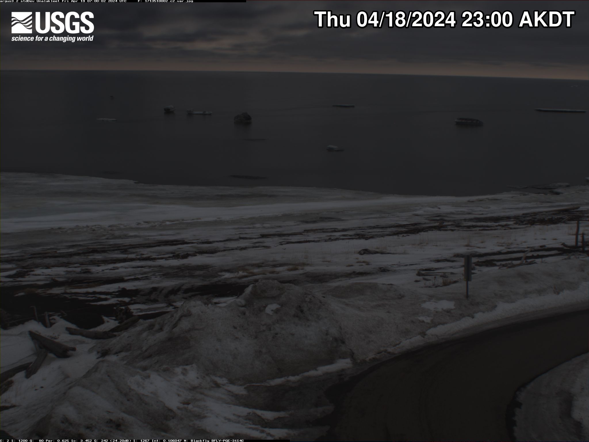
Unalakleet video camera 2 variance image
Two video cameras overlook the coast from atop a windmill tower in Unalakleet, Alaska where they look westward over Norton Sound. Every half hour during daylight hours, the cameras collect snapshots and video for 10 minutes. Today’s most recent image from camera 2 is shown here.
Two video cameras overlook the coast from atop a windmill tower in Unalakleet, Alaska where they look westward over Norton Sound. Every half hour during daylight hours, the cameras collect snapshots and video for 10 minutes. Today’s most recent image from camera 2 is shown here.

Unalakleet video camera 2 bright image
Two video cameras overlook the coast from atop a windmill tower in Unalakleet, Alaska where they look westward over Norton Sound. Every half hour during daylight hours, the cameras collect snapshots and video for 10 minutes. Today’s most recent image from camera 2 is shown here.
Two video cameras overlook the coast from atop a windmill tower in Unalakleet, Alaska where they look westward over Norton Sound. Every half hour during daylight hours, the cameras collect snapshots and video for 10 minutes. Today’s most recent image from camera 2 is shown here.

Santa Cruz Main Beach video camera variance image
Video camera variance image at Main Beach in Santa Cruz, California, looking eastward. Learn more about the cameras and how we're using them to study coastal change.
Video camera variance image at Main Beach in Santa Cruz, California, looking eastward. Learn more about the cameras and how we're using them to study coastal change.
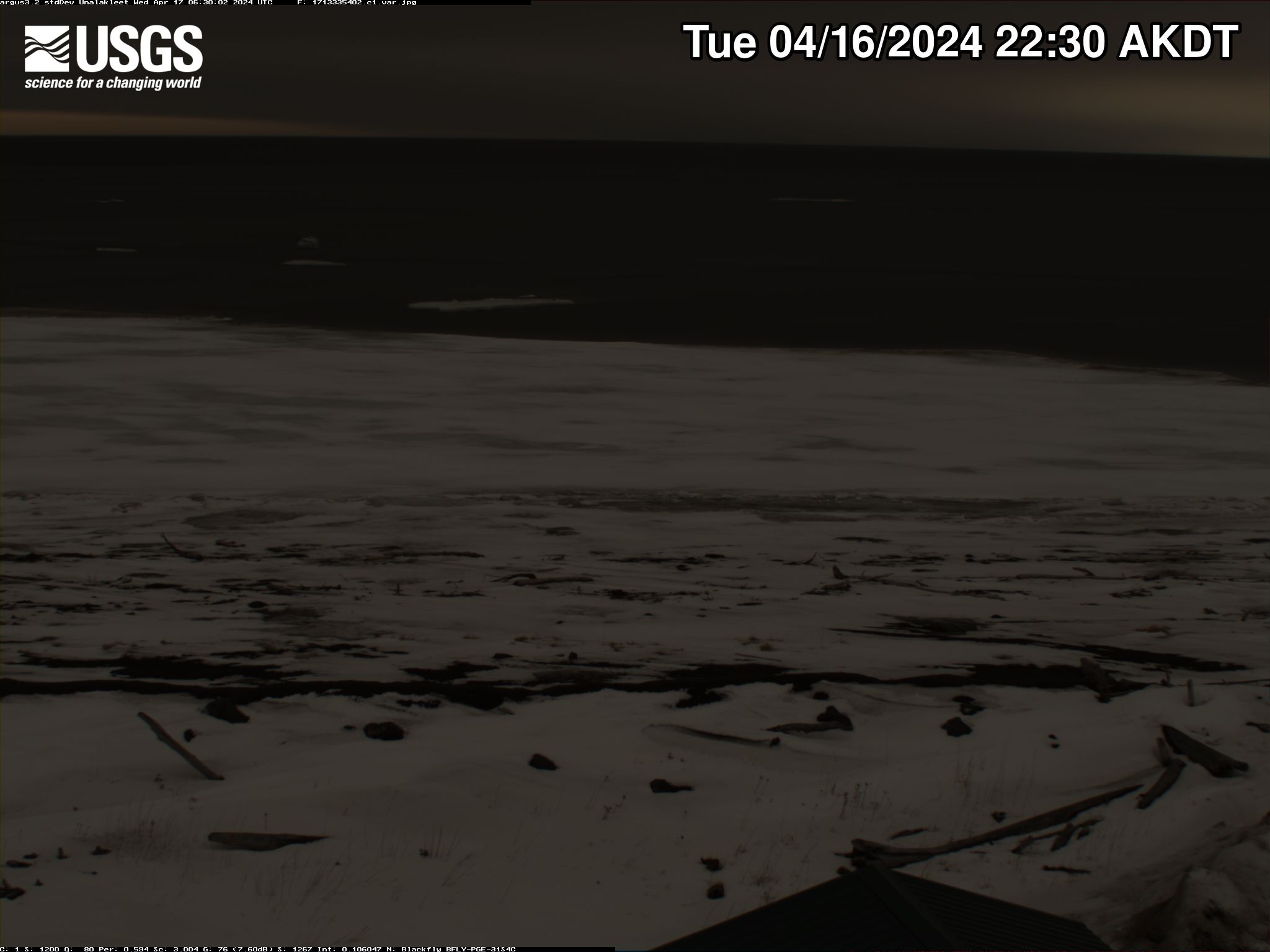
Unalakleet video camera 1 variance image
Two video cameras overlook the coast from atop a windmill tower in Unalakleet, Alaska where they look westward over Norton Sound. Every half hour during daylight hours, the cameras collect snapshots and video for 10 minutes. Today’s most recent image from camera 1 is shown here.
Two video cameras overlook the coast from atop a windmill tower in Unalakleet, Alaska where they look westward over Norton Sound. Every half hour during daylight hours, the cameras collect snapshots and video for 10 minutes. Today’s most recent image from camera 1 is shown here.

Unalakleet video camera 1 bright image
Two video cameras overlook the coast from atop a windmill tower in Unalakleet, Alaska where they look westward over Norton Sound. Every half hour during daylight hours, the cameras collect snapshots and video for 10 minutes. Today’s most recent image from camera 1 is shown here.
Two video cameras overlook the coast from atop a windmill tower in Unalakleet, Alaska where they look westward over Norton Sound. Every half hour during daylight hours, the cameras collect snapshots and video for 10 minutes. Today’s most recent image from camera 1 is shown here.

Unalakleet video camera 1 dark image
Two video cameras overlook the coast from atop a windmill tower in Unalakleet, Alaska where they look westward over Norton Sound. Every half hour during daylight hours, the cameras collect snapshots and video for 10 minutes. Today’s most recent image from camera 1 is shown here.
Two video cameras overlook the coast from atop a windmill tower in Unalakleet, Alaska where they look westward over Norton Sound. Every half hour during daylight hours, the cameras collect snapshots and video for 10 minutes. Today’s most recent image from camera 1 is shown here.

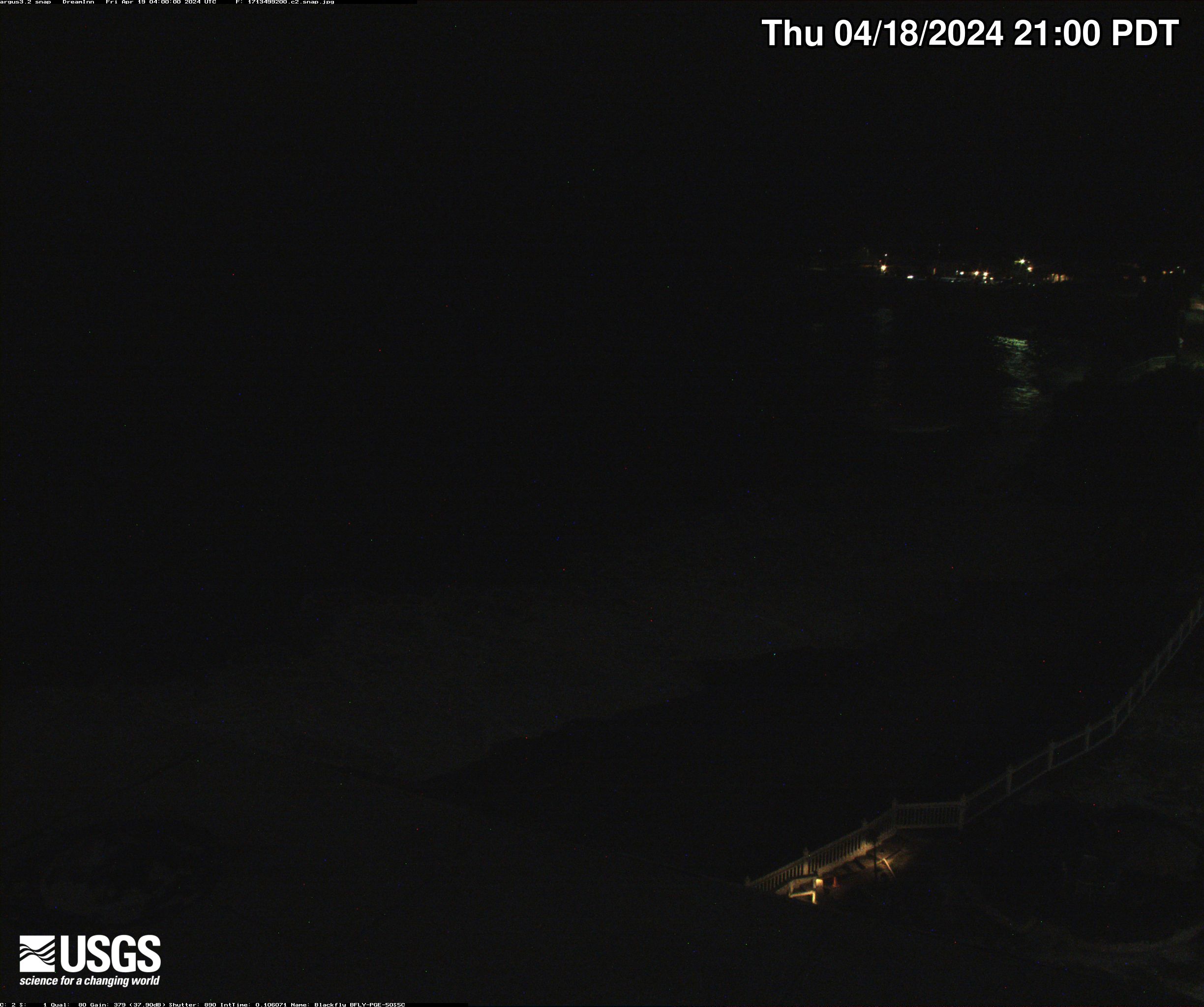
Unalakleet video camera 2 snapshot
Two video cameras overlook the coast from atop a windmill tower in Unalakleet, Alaska where they look westward over Norton Sound. Every half hour during daylight hours, the cameras collect snapshots and video for 10 minutes. Today’s most recent image from camera 2 is shown here.
Two video cameras overlook the coast from atop a windmill tower in Unalakleet, Alaska where they look westward over Norton Sound. Every half hour during daylight hours, the cameras collect snapshots and video for 10 minutes. Today’s most recent image from camera 2 is shown here.

Unalakleet video camera 1 snapshot
Two video cameras overlook the coast from atop a windmill tower in Unalakleet, Alaska where they look westward over Norton Sound. Every half hour during daylight hours, the cameras collect snapshots and video for 10 minutes. Today’s most recent image from camera 1 is shown here.
Two video cameras overlook the coast from atop a windmill tower in Unalakleet, Alaska where they look westward over Norton Sound. Every half hour during daylight hours, the cameras collect snapshots and video for 10 minutes. Today’s most recent image from camera 1 is shown here.

Unalakleet video camera 1 time exposure
Two video cameras overlook the coast from atop a windmill tower in Unalakleet, Alaska where they look westward over Norton Sound. Every half hour during daylight hours, the cameras collect snapshots and video for 10 minutes. Today’s most recent time-exposure (timex) image from camera 1 is shown here.
Two video cameras overlook the coast from atop a windmill tower in Unalakleet, Alaska where they look westward over Norton Sound. Every half hour during daylight hours, the cameras collect snapshots and video for 10 minutes. Today’s most recent time-exposure (timex) image from camera 1 is shown here.
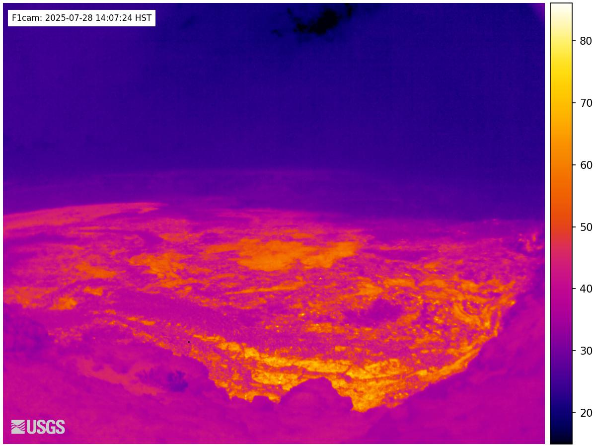
[F1cam] - Kīlauea summit thermal from the west rim of the summit caldera, looking southeast
[F1cam] - Kīlauea summit thermal from the west rim of the summit caldera, looking southeastLive Panorama of Halemaʻumaʻu - thermal image from the west rim of the summit caldera, looking southeast [F1cam].
[F1cam] - Kīlauea summit thermal from the west rim of the summit caldera, looking southeast
[F1cam] - Kīlauea summit thermal from the west rim of the summit caldera, looking southeastLive Panorama of Halemaʻumaʻu - thermal image from the west rim of the summit caldera, looking southeast [F1cam].

Santa Cruz Main Beach, Time-Averaged
Video camera time-exposure image at Main Beach in Santa Cruz, California, looking eastward. Learn more about the cameras and how we're using them to study coastal change.
Video camera time-exposure image at Main Beach in Santa Cruz, California, looking eastward. Learn more about the cameras and how we're using them to study coastal change.

Santa Cruz Cowells Beach, Time-Averaged
Video camera time-exposure image at Cowells Beach in Santa Cruz, California, looking southward. Learn more about the cameras and how we're using them to study coastal change.
Video camera time-exposure image at Cowells Beach in Santa Cruz, California, looking southward. Learn more about the cameras and how we're using them to study coastal change.
Santa Cruz Cowells Beach
Video camera snapshot at Cowells Beach in Santa Cruz, California, looking southward. Learn more about the cameras and how we're using them to study coastal change.
Video camera snapshot at Cowells Beach in Santa Cruz, California, looking southward. Learn more about the cameras and how we're using them to study coastal change.
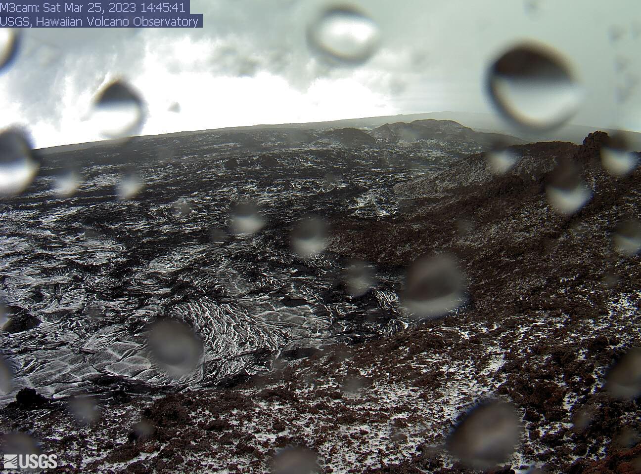
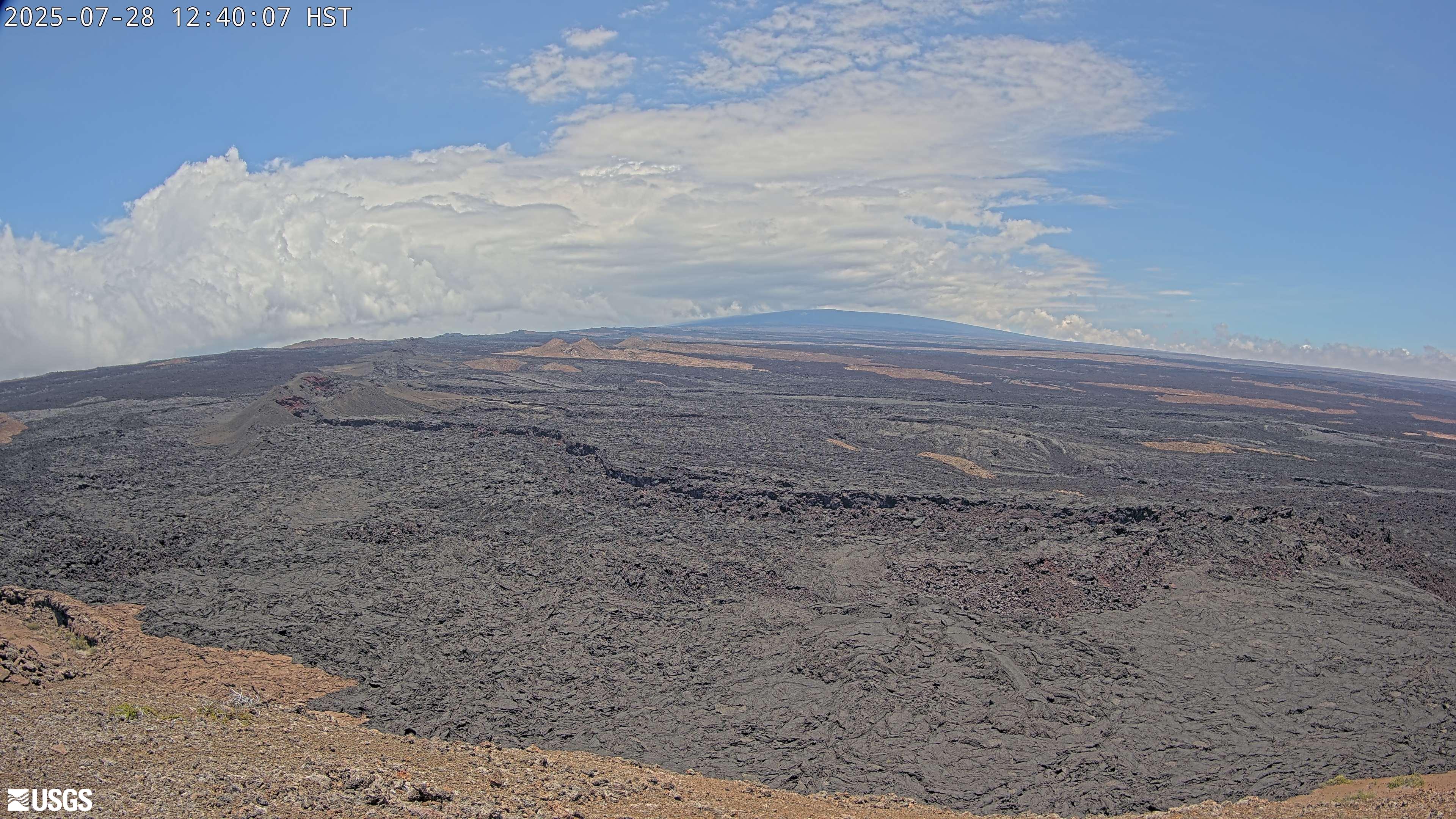
[M3cam] The Upper Part of Mauna Loa's Southwest Rift Zone
[M3cam] The Upper Part of Mauna Loa's Southwest Rift ZoneThis image is from a research camera positioned on a cone in Mauna Loa's Southwest Rift Zone in Hawaiʻi Volcanoes National Park. The camera looks northeast (upslope), focusing on the upper part of the Southwest Rift Zone. The upper flank of Mauna Loa forms the skyline.
Disclaimer
[M2cam] The Middle Part of Mauna Loa's Southwest Rift Zone
[M2cam] The Middle Part of Mauna Loa's Southwest Rift ZoneThis image is from a research camera positioned on a cone in Mauna Loa's Southwest Rift Zone in Hawaiʻi Volcanoes National Park. The camera looks northeast (upslope), focusing on the middle part of the Southwest Rift Zone. The volcano's summit is at upper right.
Disclaimer
[MLcam] Mokuʻāweoweo Caldera from the Northwest Rim
[MLcam] Mokuʻāweoweo Caldera from the Northwest RimThis image is from a research camera positioned on the north rim of Mokuʻāweoweo, the summit caldera of Mauna Loa volcano by the USGS Hawaiian Volcano Observatory. If you look carefully around early morning or late evening, you may see a few thermal areas emitting steam. See 'Current Activity' for the latest Mauna Loa information.

[HPcam] Lava Flow 61G from Holei Pali
This image is from a research camera positioned on Holei Pali, looking east towards Lava Flow 61G and Kalapana.
Disclaimer
This image is from a research camera positioned on Holei Pali, looking east towards Lava Flow 61G and Kalapana.
Disclaimer
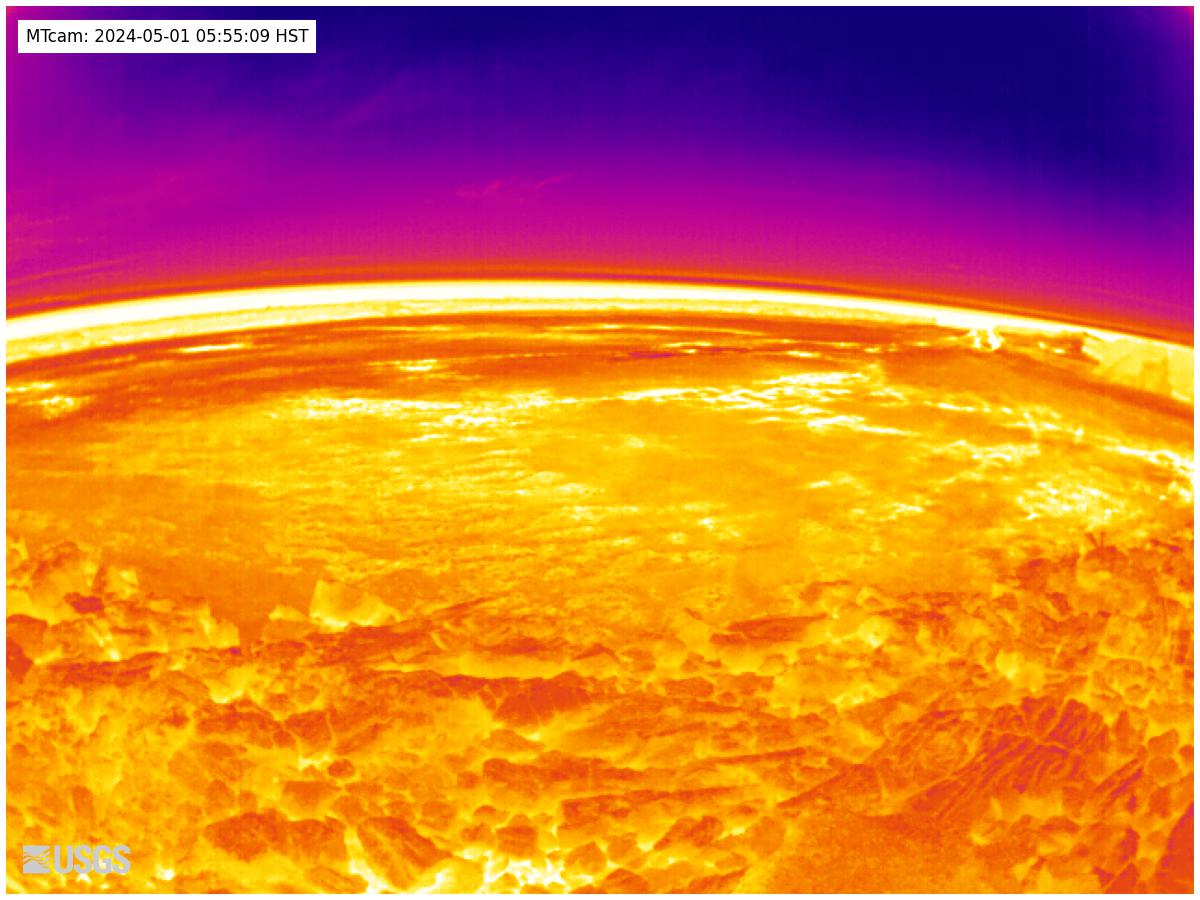
[MTcam] Mokuʻāweoweo Caldera Thermal from the Northwest Rim
[MTcam] Mokuʻāweoweo Caldera Thermal from the Northwest RimThis image is from a thermal camera located on the north rim of Mauna Loa's summit caldera. The camera was upgraded on November 8, 2023. Thermal webcams record in Centigrade, conversions to Fahrenheit are provided here for your convenience: 20°C=68°F, 40°C=104°F, 60°C=140°F, 80°C=176°F.
Disclaimer
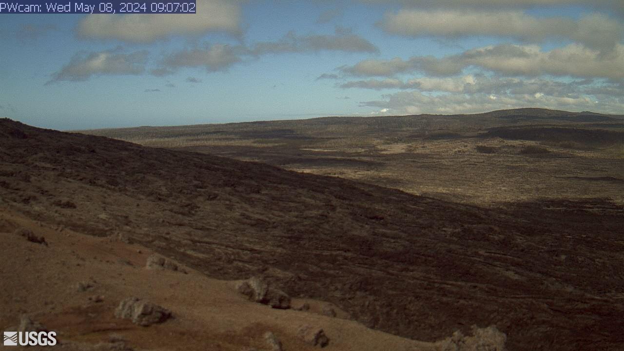
[PWcam] Puʻu ʻŌʻō West Flank from Puʻu ʻŌʻō
This image is from a research camera positioned on the northwest flank of Puʻu ʻŌʻō, looking southwest. On the morning of May 24, 2016, this camera was rotated to be pointed northeast to follow a new breakout on the east flank of Puʻu ʻŌʻō.
Disclaimer
This image is from a research camera positioned on the northwest flank of Puʻu ʻŌʻō, looking southwest. On the morning of May 24, 2016, this camera was rotated to be pointed northeast to follow a new breakout on the east flank of Puʻu ʻŌʻō.
Disclaimer
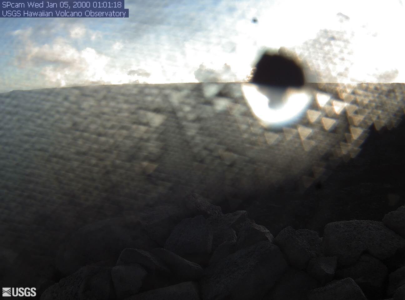
[SPcam] South Pit from South Rim
This image is from a research camera positioned on the south rim of Mokuʻāweoweo, Mauna Loa's summit caldera, in Hawaiʻi Volcanoes National Park. The camera looks west-southwest, across South Pit, focusing on the south part of Mauna Loa's summit region and upper Southwest Rift Zone.
Disclaimer
This image is from a research camera positioned on the south rim of Mokuʻāweoweo, Mauna Loa's summit caldera, in Hawaiʻi Volcanoes National Park. The camera looks west-southwest, across South Pit, focusing on the south part of Mauna Loa's summit region and upper Southwest Rift Zone.
Disclaimer