
Science for a Risky World:
A USGS Plan for Risk Research and Applications
USGS explores opportunities to advance its capabilities in risk assessment, mitigation, and communication in new strategic plan.
A new USGS report, Science for a Risky World: A USGS Plan for Risk Research and Applications, defines for the first time the role of USGS in risk research and applications. This includes hazard assessments, operational forecasts and warnings, vulnerability assessments, risk assessments, risk communication, decision-support systems, and post-event assessments. These activities and products are connected by the need to directly support decision makers in their efforts to better understand societal risk from hazards and to have the necessary information to make science-based, risk reduction decisions. The Risk Plan identifies the Bureau’s core competencies in this arena and includes background on and specific recommendations for building institutional capacity for creating sustained partnerships, supporting professional staff, and improving product delivery.

At the heart of the Risk Plan is a focus on collaboration between subject matter experts and stakeholders, from project inception to evaluation. The Plan recognizes that delivering risk information in forms that can be used by decision makers and the public alike requires maximizing the use of environmental observations; hazards science; and research on communications, social stressors, and human behavior.
"The USGS has breadth and depth in monitoring and assessing a wide variety of hazards, and we are a trusted resource in providing this information to the people who evaluate and try to manage risk in their communities," says Dave Applegate, USGS Associate Director for Natural Hazards. "Our presence across the U.S. facilitates collaboration with a variety of stakeholders. A new focus on risk will support ongoing efforts as well as spur new work in advancing the applications of USGS hazards science to reduce risk."

What Is Risk?
Risk is the potential for consequences where something of value – e.g. life, property, infrastructure, etc. – is at stake and where the outcome is uncertain. In other words, risk results from the interaction of hazards and a vulnerable asset or system.
All individuals, businesses, organizations, and agencies regularly make risk-related decisions. In order to make effective decisions, they need objective information on potential adverse events, the likelihood of their occurrence, and for societal consequences of proposed actions, and USGS plays a leading role in providing this information. Users of USGS risk research and applications range from homeowners and teachers to insurance providers, emergency managers, and natural resource managers, and each stakeholder has different needs for information. The objective of USGS risk research and applications is to serve as a vital analytical foundation upon which decision makers can integrate their information, assets, abilities, and priorities to make more informed, science-based decisions.

Natural Hazard Risk
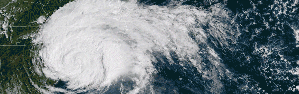
Natural hazards—including earthquakes, tsunamis, volcanic eruptions, landslides, hurricanes, droughts, floods, wildfires, geomagnetic storms, and pandemics—can wreak havoc on communities, the economy, and natural resources for years following an initial event. Hazards can claim lives and cause billions of dollars in damage to homes and infrastructure, as well as lost or compromised economic activity and threats to national security. They also can have adverse environmental, social, economic, and health effects that extend well beyond the immediate area, sometimes with global implications. Changes in population growth, climate, and urbanization may exacerbate hazard impacts.
Because of the potential severity of a single hazard event, reducing risk is a high priority for policy makers, community members, emergency managers, resource managers, utility operators, business owners, and planners. These stakeholders need usable, user-centric information to support decisions for planning a resilient future and for responding to and recovering from unanticipated events in more adaptable and cost-effective ways.

Maximizing the use of environmental data and our understanding of earth processes to reduce risk depends on delivering risk information in forms that are accessible and easily understood by decision makers and the public alike. This requires strong collaboration between scientists, community members, business owners, emergency managers, and policy makers, where ongoing dialogues influence the assessment of community needs and, in turn, the communication of actionable insights to improve situational awareness and mitigate the adverse consequences of hazards.
Improving the resilience of our built and natural environment systems relies on integrating multiple sources of information—including scientific analyses, environmental conditions, and socioeconomic data—to inform decision making in the near- and long-term.

Start with USGS Science
The USGS has been successful in developing products used for a broad range of risk reduction measures, ranging from humanitarian response after earthquakes to community planning in tsunami-hazard zones. USGS scientists and their products play increasingly important roles in multiple dimensions of risk research and applications as hazards persist and as human populations expand into hazard-prone areas (e.g., expansion of the wildland-urban interface), or in some cases, as new hazards emerge (e.g., induced seismicity). These activities include researching and observing natural processes and human land use, generating warnings, developing scientific assessments of hazards and potential losses, and communicating the results in meaningful and timely ways to different audiences in accessible and easily understood formats. These products directly contribute to disaster mitigation and response efforts and have proven critical for implementing appropriate recovery measures
Moving Forward
Developing new projects centered on risk would provide an opportunity to implement the recommendations of this Plan. The Plan includes descriptions of several projects for consideration, and one of these is already underway in the form of a nation-wide risk assessment for the Department of the Interior. "Publishing this risk plan indicates the USGS's strong commitment to focusing on the societal implications of the impacts of the hazards we study and monitor," says Applegate.
By introducing a Bureau-wide focus on risk research and applications, the USGS is well-positioned to meet the challenge of reducing risk in the face of increasing disaster-related losses combined with rapid environmental change, shifts in urbanization, and evolving resource management needs. This Plan describes specific actions that the USGS may take to advance partnerships, to adjust project planning, to develop internal professional capacity and capabilities, and to improve product delivery. These activities are underpinned by fundamental needs, including bolstered information technology capacity, adding expertise to the USGS and access to expertise outside the USGS, and developing new opportunities for fostering a community of practice focused on risk research and applications.

For More Information, check out the following links on hazards, risk, and other resources:
Science for A Risky World: A USGS Plan for Risk Research and Applications
USGS Natural Hazards page for more information on USGS science regarding natural hazards.