



US Topo Cartographic Specifications - Land Cover
US Topo cartographic specifications including feature symbology and annotation for Land Cover including Woodland.
Land Cover Feature Types
Table of Contents
Land Cover
LAND COVER
Woodland
Subtype of Land Cover
- FType: Not applicable
- FCode: 10600
- Feature Description: An area, at least 1 acre in size, where the percentage of the total land surface covered by trees is 20 percent or greater. In Alaska, woodland represents an area, at least 1 acre in size, where more than 20 percent of the total vegetation cover is dominated by trees generally greater than 5 meters tall.
- Feature Geometry: Polygon
Graphic Depiction
Media

Sources/Usage: Public Domain. View Media Details
- Point Graphic Depiction: Not applicable
- Linear Graphic Depiction: Not applicable
- Polygon Graphic Depiction:
- Symbol: Woodland
- Symbol Description: Transparent green fill with no outline.
Polygon Symbology Specifications
- Layer 1 (Solid Fill)
- Size: Not applicable
- Color (R,G,B): 168,212,131
- Transparency: 70%
Annotation
- Annotation: Not applicable
Related Information
Related Information
-
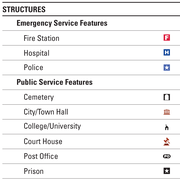
US Topo Cartographic Specifications - Map Symbol Guide US Topo Cartographic Specifications - Map Symbol Guide
US Topo cartographic specifications Map Symbol Guide.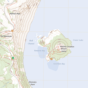
US Topo Cartographic Specifications US Topo Cartographic Specifications
This page and associated links define the U.S. Geological Survey (USGS) US Topo digital topographic map cartographic specifications including feature symbology and annotation. The specifications are organized by data sets and themes listed below.
US Topo Cartographic Specifications - Version History US Topo Cartographic Specifications - Version History
This page highlights version history and details the refinements made to the published US Topo Cartographic Specifications.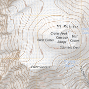
US Topo Cartographic Specifications - Elevation US Topo Cartographic Specifications - Elevation
US Topo cartographic specifications including feature symbology and labels for elevation generated contours.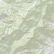
US Topo Cartographic Specifications - Geographic Names US Topo Cartographic Specifications - Geographic Names
US Topo cartographic specifications including feature symbology and annotation for Geographic Names Landforms.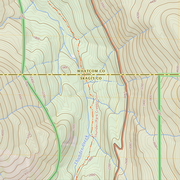
US Topo Cartographic Specifications - Government Units US Topo Cartographic Specifications - Government Units
US Topo cartographic specifications including feature symbology and labels for Government Units (Boundaries) including County or Equivalent, Designated Areas, Federally Managed Lands, International, Military, Native American Area, Public Land Survey System (PLSS), and State.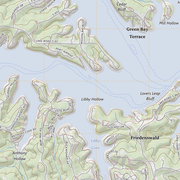
US Topo Cartographic Specifications - Hydrography US Topo Cartographic Specifications - Hydrography
US Topo cartographic specifications including feature symbology and annotation for Hydrography including NHDArea, NHDFlowline, NHDLine, NHDPoint, NHDWaterbody, and National Wetland Inventory (NWI).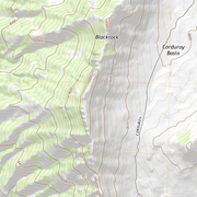
US Topo Cartographic Specifications - Land Cover US Topo Cartographic Specifications - Land Cover
US Topo cartographic specifications including feature symbology and annotation for Land Cover including Woodland.
US Topo Cartographic Specifications - Structures US Topo Cartographic Specifications - Structures
US Topo cartographic specifications including feature symbology and labels for Structures including Emergency / Medical, Pipeline, Public Services, and Recreation.
US Topo Cartographic Specifications - Transportation US Topo Cartographic Specifications - Transportation
US Topo cartographic specifications including feature symbology and annotation for Transportation including Airport, Rail, Route, and Trail.