
The name of this webcam is Old River at Quimby Island near Bethel. It is located near Bethel, CA. The timelapse length is 10 seconds (100 images) and the collection interval is every 15 minutes.
Webcams
Total: 0
Settings
Total: 0
The USGS maintains a variety of webcams across the U.S. These webcams provide valuable research information and data to the USGS scientists, the National Weather Service, emergency managers, and area residents to evaluate near, real-time conditions during natural hazard events (most webcams refresh every 5 - 20 minutes).
Filter Total Items: 287
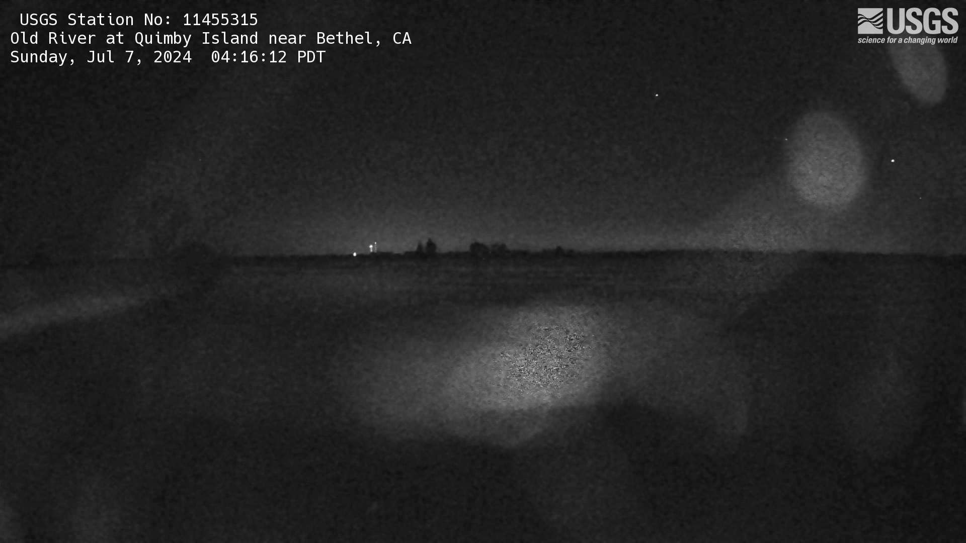
Old River at Quimby Island near Bethel Webcam
The name of this webcam is Old River at Quimby Island near Bethel. It is located near Bethel, CA. The timelapse length is 10 seconds (100 images) and the collection interval is every 15 minutes.
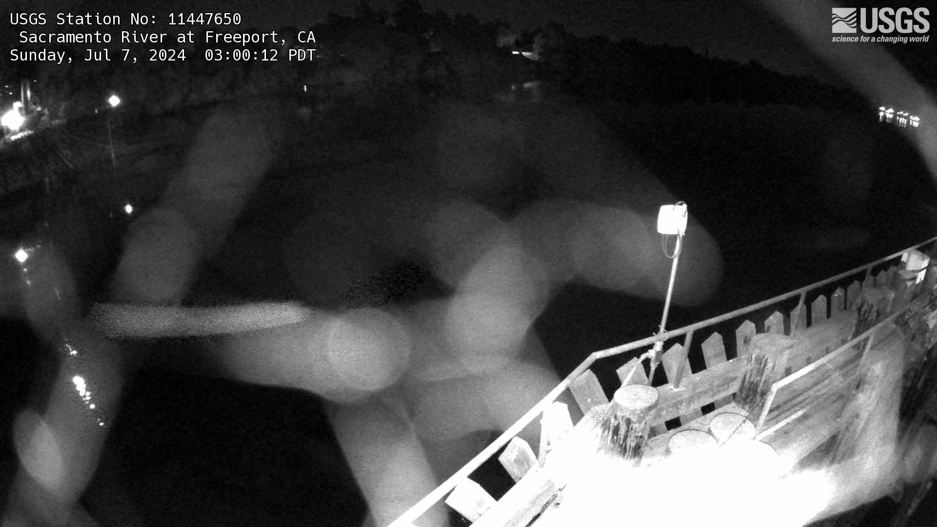
Sacramento River at Freeport Webcam
The name of this webcam is Sacramento River at Freeport. It is located at Freeport, CA. The timelapse length is 10 seconds (100 images) and the collection interval is every 60 minutes.
The name of this webcam is Sacramento River at Freeport. It is located at Freeport, CA. The timelapse length is 10 seconds (100 images) and the collection interval is every 60 minutes.
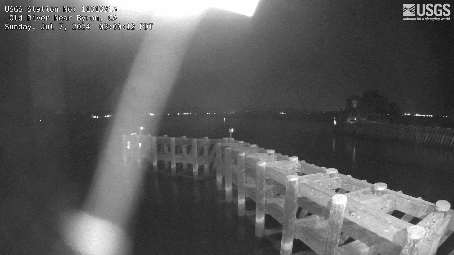
Old River Near Byron Webcam
The name of this camera is Old River Near Byron. It is located near Byron, CA. The timelapse length is 10 seconds (100 images) and the collection interval is every 60 minutes.
The name of this camera is Old River Near Byron. It is located near Byron, CA. The timelapse length is 10 seconds (100 images) and the collection interval is every 60 minutes.
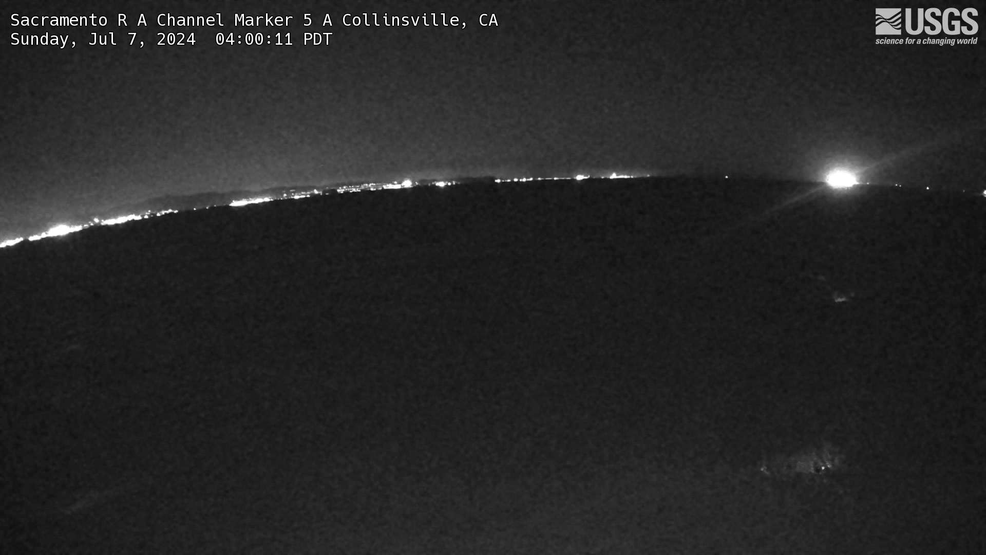
Sacramento R A Channel Marker 5 A Collinsville Webcam
The name of this camera is Sacramento R A Channel Marker 5 A Collinsville. It is located in Collinsville, CA. The timelapse length is 10 seconds (100 images) and the collection interval is every 15 minutes.
The name of this camera is Sacramento R A Channel Marker 5 A Collinsville. It is located in Collinsville, CA. The timelapse length is 10 seconds (100 images) and the collection interval is every 15 minutes.
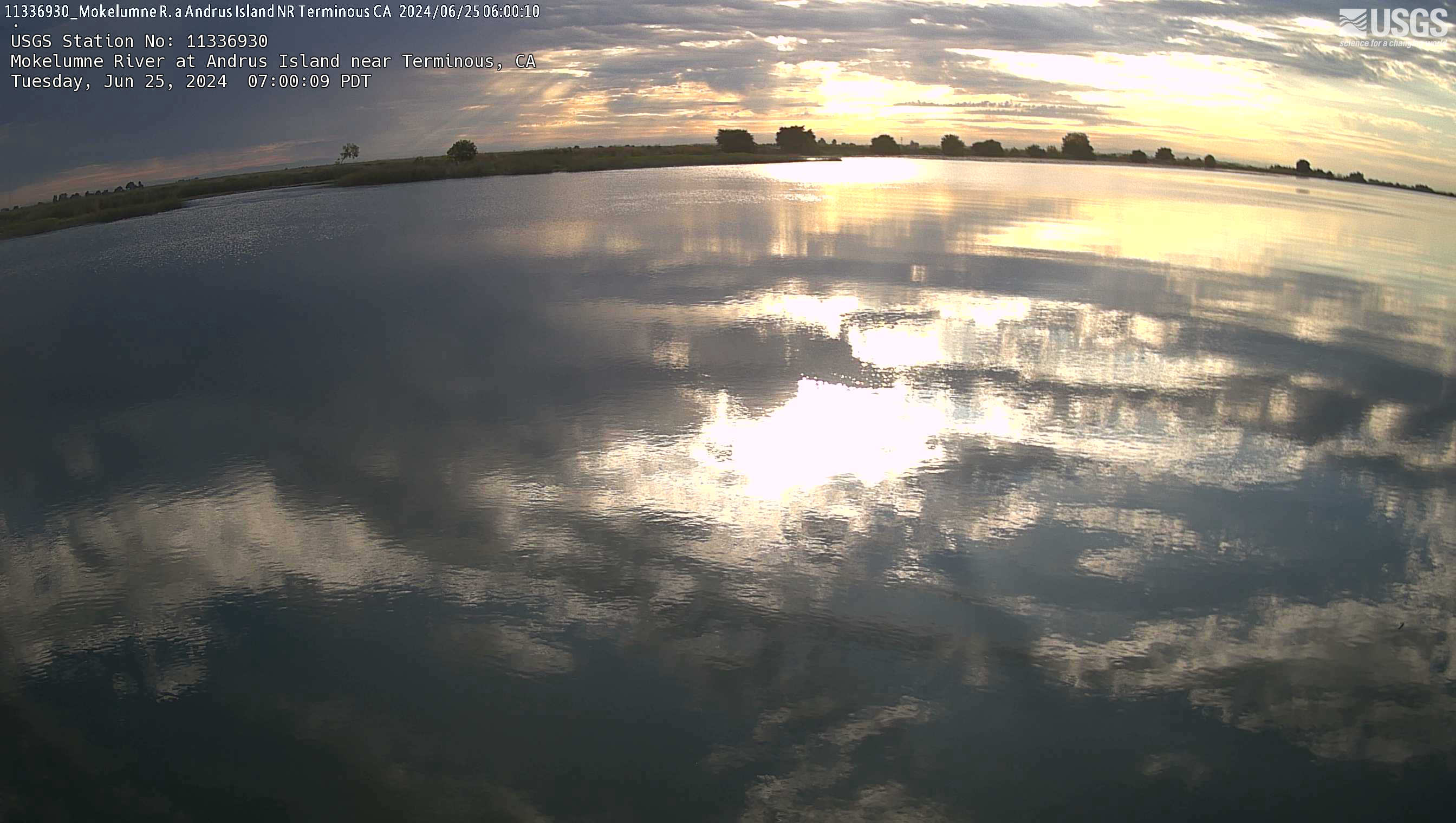
Mokelumne River at Andrus Island near Terminous Webcam
The name of this webcam is Mokelumne River at Andrus Island near Terminous. It is located near Terminous, CA. The timelapse length is 10 seconds (100 images) and the collection interval is every 15 minutes.
The name of this webcam is Mokelumne River at Andrus Island near Terminous. It is located near Terminous, CA. The timelapse length is 10 seconds (100 images) and the collection interval is every 15 minutes.
Georgiana Slough Salmonid Migratory Barrier
The name of this webcam is Georgiana Slough Salmonid Migratory Barrier. It is located near Walnut Grove, CA. Its timelapse length is 10 seconds (100 images) and the collection interval is every 15 minutes.
The name of this webcam is Georgiana Slough Salmonid Migratory Barrier. It is located near Walnut Grove, CA. Its timelapse length is 10 seconds (100 images) and the collection interval is every 15 minutes.
Cache Slough at South Liberty Island near Rio Vista Webcam
The name of the webcam is Cache Slough at South Liberty Island near Rio Vista. It is located at South Liberty Island, CA. The timelapse length is 10 seconds (100 images) and the collection interval is every 15 minutes.
The name of the webcam is Cache Slough at South Liberty Island near Rio Vista. It is located at South Liberty Island, CA. The timelapse length is 10 seconds (100 images) and the collection interval is every 15 minutes.
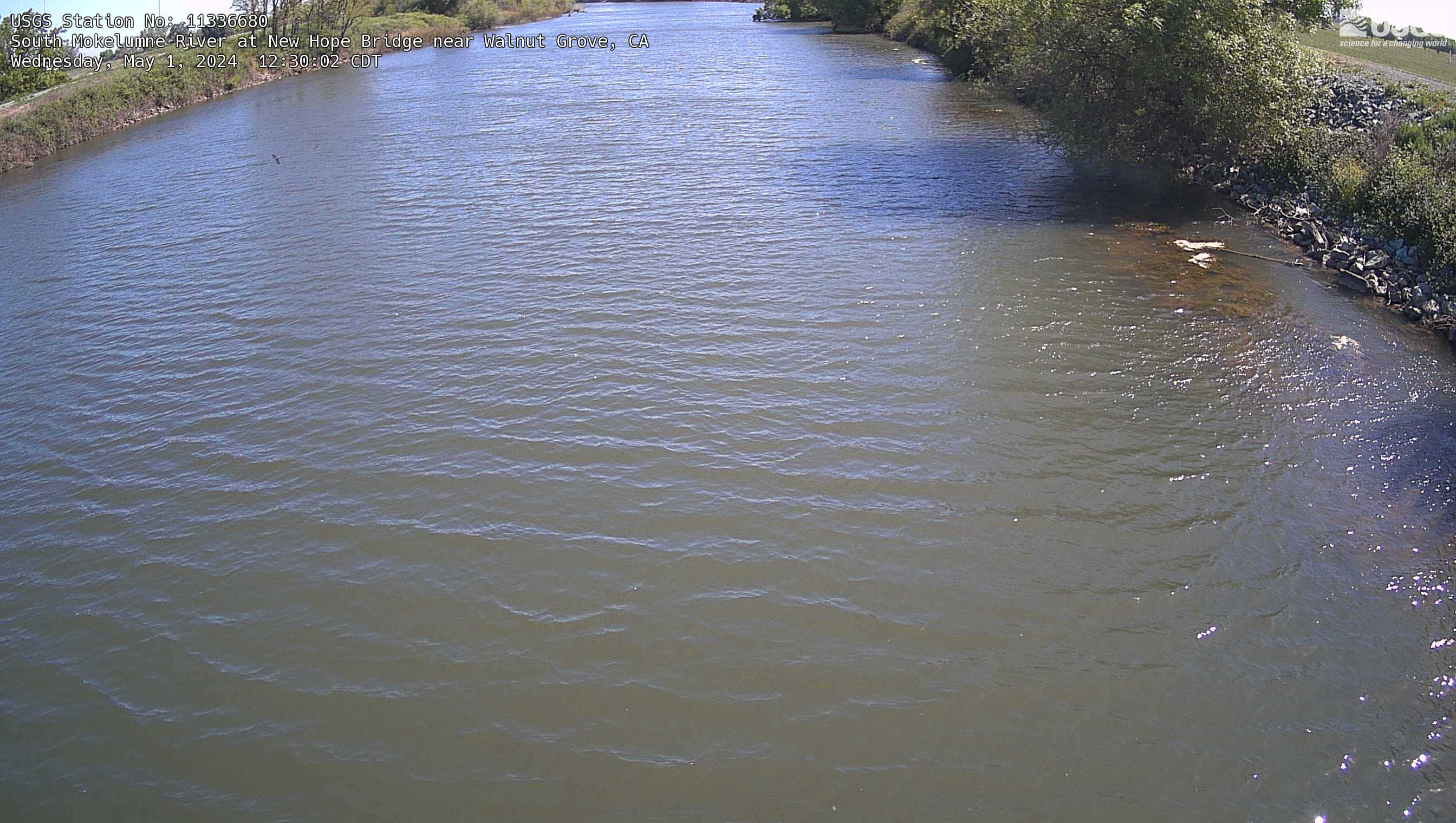
South Mokelumne River at New Hope Bridge near Walnut Grove Webcam
The name of the webcam is South Mokelumne River at New Hope Bridge near Walnut Grove. It is located near Walnut Grove, CA. The timelapse length is 10 seconds (100 images) and the collection interval is every 15 minutes.
The name of the webcam is South Mokelumne River at New Hope Bridge near Walnut Grove. It is located near Walnut Grove, CA. The timelapse length is 10 seconds (100 images) and the collection interval is every 15 minutes.
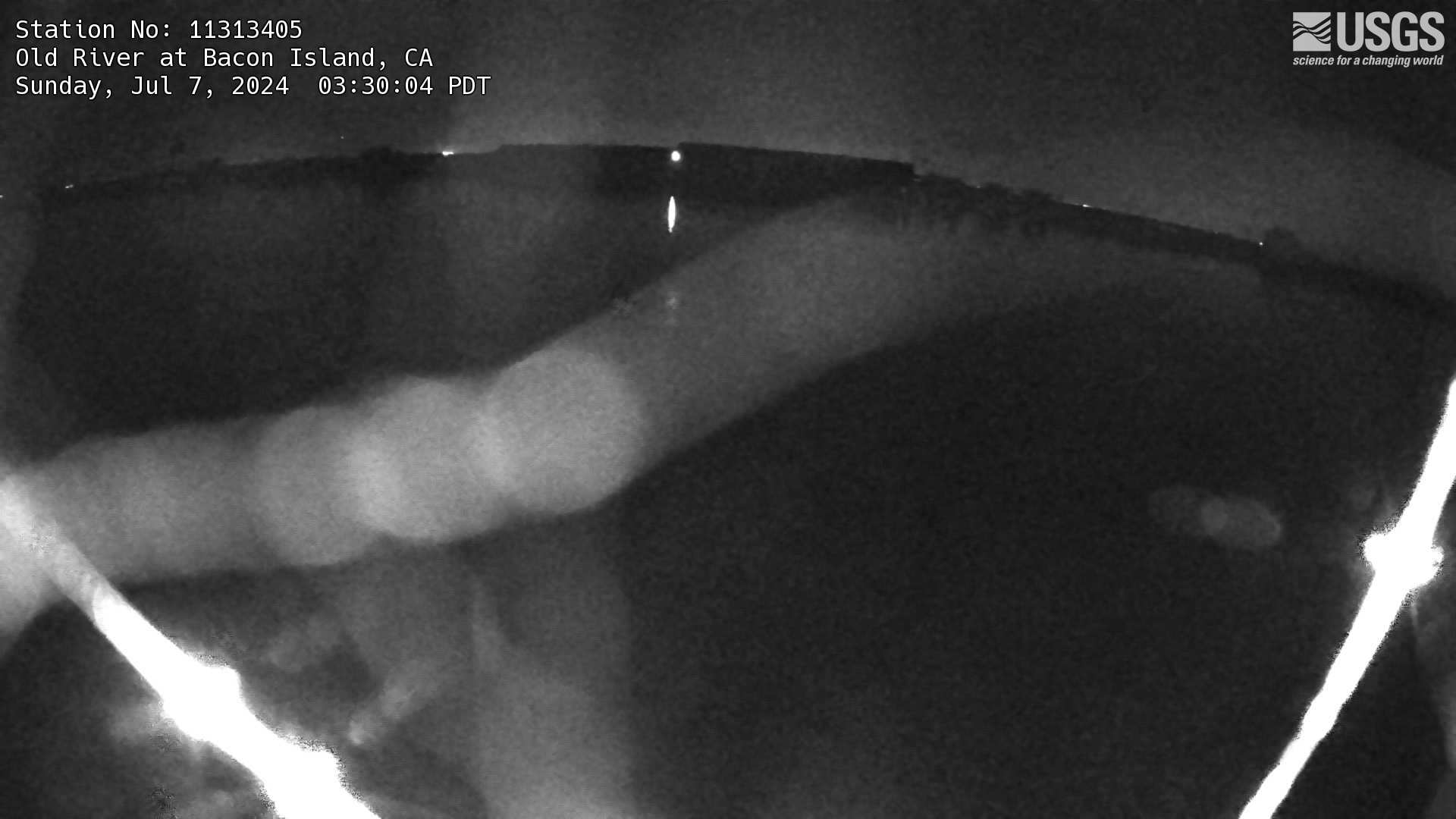
Old River at Bacon Island Webcam
The name of this webcam is Old River at Bacon Island. It is located at Bacon Island, CA. Its timelapse length is 10 seconds (100 images) and the collection interval is every 15 minutes.
The name of this webcam is Old River at Bacon Island. It is located at Bacon Island, CA. Its timelapse length is 10 seconds (100 images) and the collection interval is every 15 minutes.
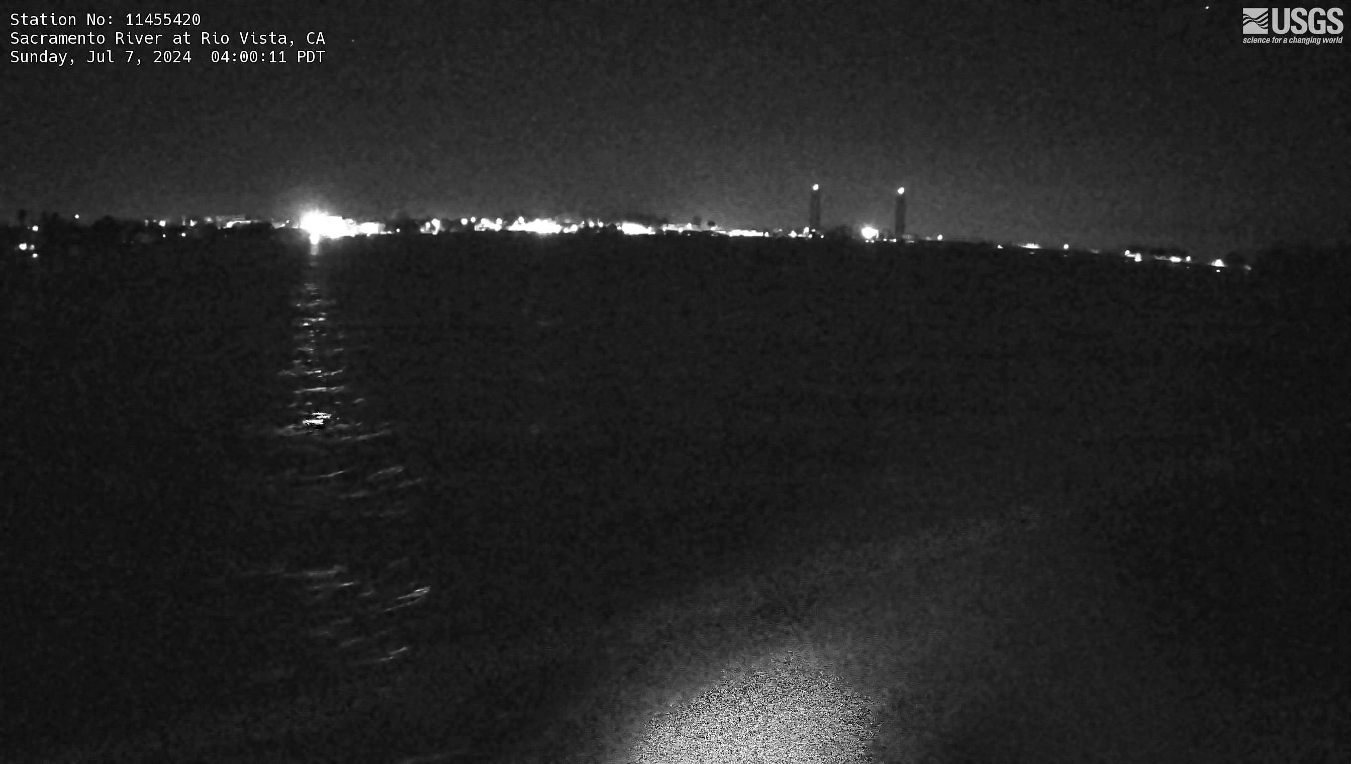
Sacramento River at Rio Vista Webcam
The name of this webcam is Sacramento River at Rio Vista. It is located at the Sacramento River at Rio Vista, CA. Its timelapse length is 10 seconds (100 images) and the collection interval is every 15 minutes.
The name of this webcam is Sacramento River at Rio Vista. It is located at the Sacramento River at Rio Vista, CA. Its timelapse length is 10 seconds (100 images) and the collection interval is every 15 minutes.
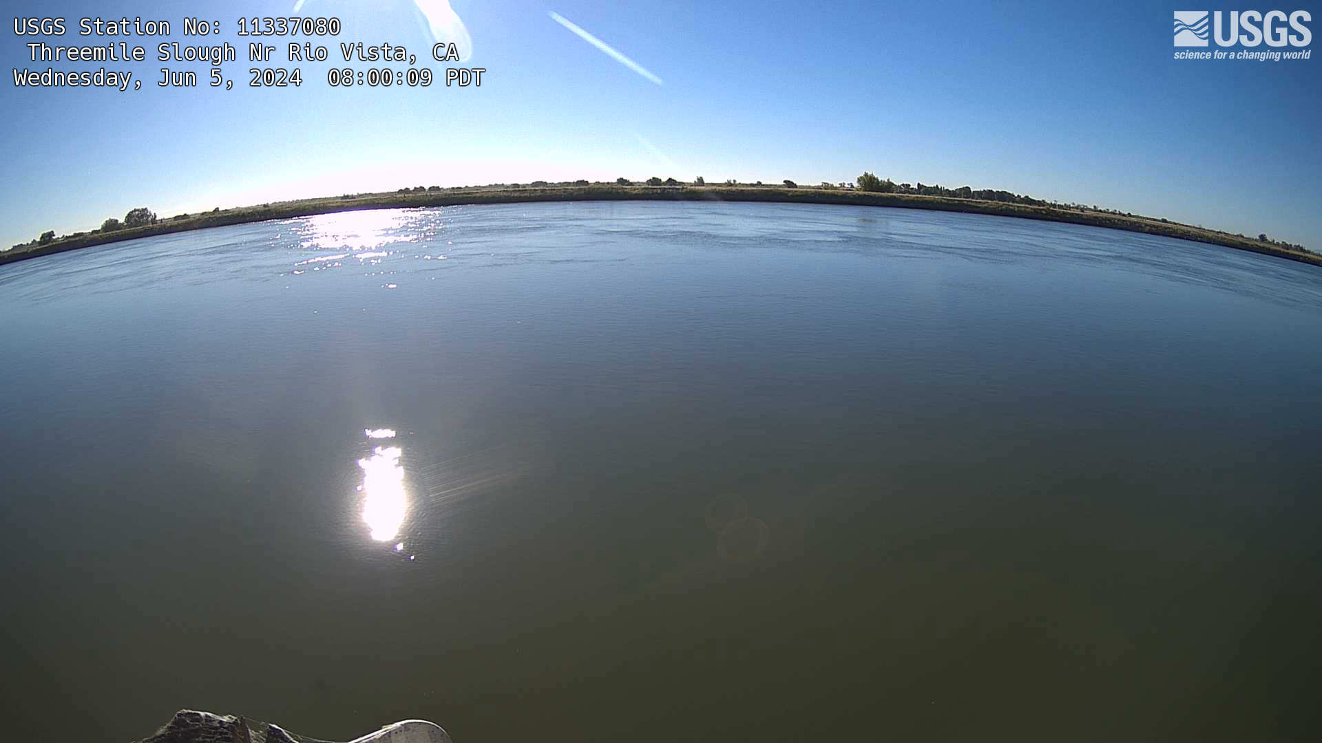
Threemile Slough Nr Rio Vista Webcam
Webcam is named Threemile Slough Nr Rio Vista. It is located in Rio Vista, California. Its timelapse length is 10 seconds (100 images) and the collection interval is every 60 minutes.
Webcam is named Threemile Slough Nr Rio Vista. It is located in Rio Vista, California. Its timelapse length is 10 seconds (100 images) and the collection interval is every 60 minutes.
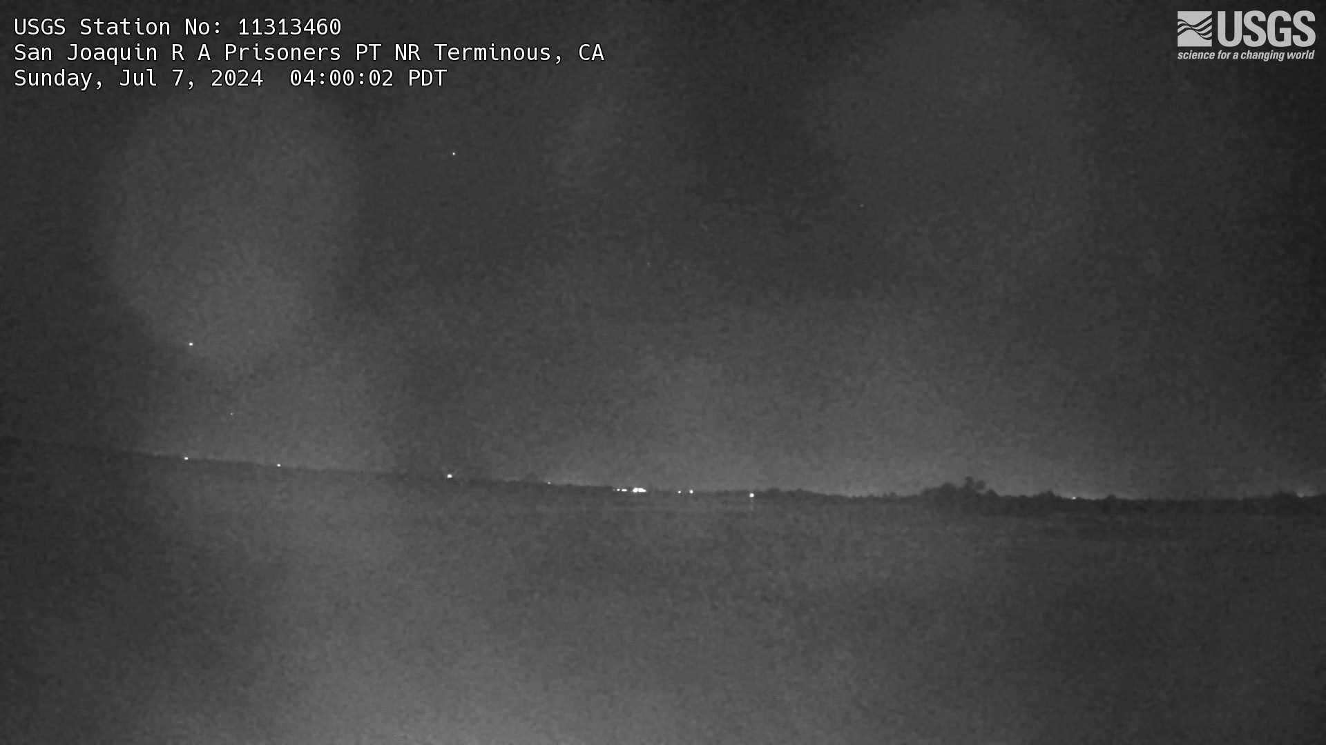
San Joaquin R A Prisoners PT NR Terminous Webcam
This is a live webcam at San Joaquin R A Prisoners PT NR Terminous, CA. It is USGS Station number 1131460. Timelapse length is 10 seconds (100 images) and the collection interval is every 60 minutes.
This is a live webcam at San Joaquin R A Prisoners PT NR Terminous, CA. It is USGS Station number 1131460. Timelapse length is 10 seconds (100 images) and the collection interval is every 60 minutes.
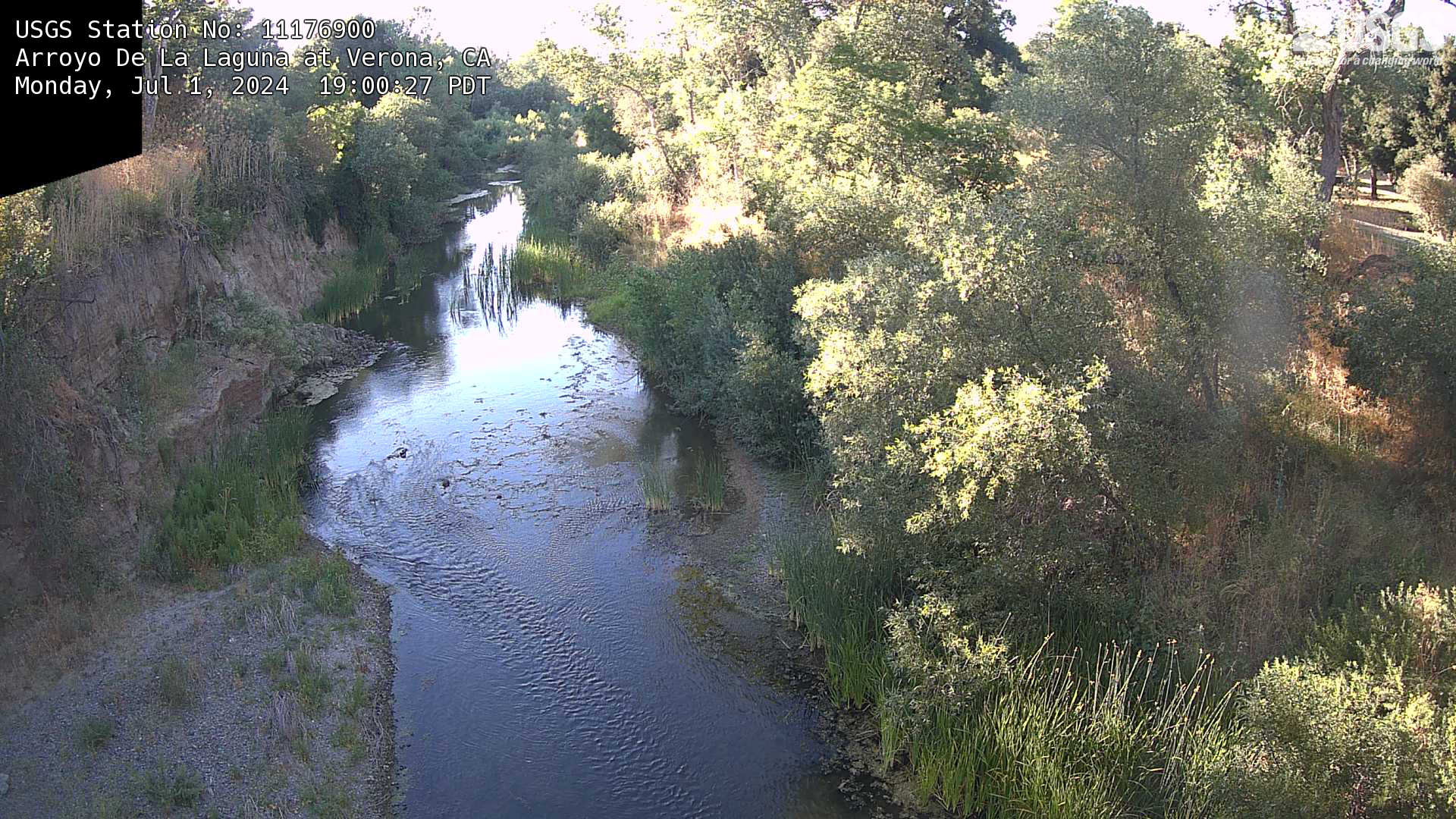
Arroyo De La Laguna at Verona, CA Webcam
This is a webcam of Arroyo De La Laguna at Verona, CA. This webpage includes a timeline of the snapshots of the location at various timestamps.
This is a webcam of Arroyo De La Laguna at Verona, CA. This webpage includes a timeline of the snapshots of the location at various timestamps.

[KOcam] Live Image of upper East Rift Zone from Maunaulu
This image is from a temporary research camera positioned near Maunaulu, looking northwest toward the upper East Rift Zone of Kīlauea.
Disclaimer
This image is from a temporary research camera positioned near Maunaulu, looking northwest toward the upper East Rift Zone of Kīlauea.
Disclaimer

[MDLcam] The Upper and Middle Parts of Mauna Loa's Southwest Rift Zone
Live image of Mauna Loa's upper and middle Southwest Rift Zone from Dandelion Cone along the middle part of the rift zone [MDLcam]. This camera is a pan-tilt-zoom model and the view may change depending on activity.
Disclaimer
Live image of Mauna Loa's upper and middle Southwest Rift Zone from Dandelion Cone along the middle part of the rift zone [MDLcam]. This camera is a pan-tilt-zoom model and the view may change depending on activity.
Disclaimer
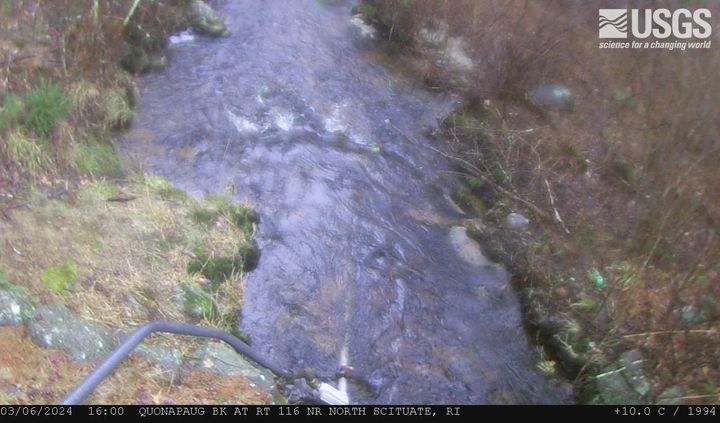
Quonopaug Brook at Rt 116 near North Scituate, Rhode Island
Quonopaug Brook at Rt 116 near North Scituate, Rhode Island. Monitoring location 01115183 is a tributary to the Scituate Reservoir in Providence County, Rhode Island. Current conditions of discharge and gage height are available.
Quonopaug Brook at Rt 116 near North Scituate, Rhode Island. Monitoring location 01115183 is a tributary to the Scituate Reservoir in Providence County, Rhode Island. Current conditions of discharge and gage height are available.
MA-HWY-I95S-HMA-Station 00567 Needham, Massachusetts
MA-HWY-I95S-HMA-STATION 00567 Needham, MA. The highway monitoring station 421650071120401 is located along Interstate 95 in Norfolk County, Massachusetts.
MA-HWY-I95S-HMA-STATION 00567 Needham, MA. The highway monitoring station 421650071120401 is located along Interstate 95 in Norfolk County, Massachusetts.
MA HWY I95S OGFC Station 00568 Needham, Massachusetts
MA-HWY-I95S-OGFC-STATION 00568 Needham, MA. The highway monitoring station 421652071120601 is located along Interstate 95 in Norfolk County, Massachusetts.
MA-HWY-I95S-OGFC-STATION 00568 Needham, MA. The highway monitoring station 421652071120601 is located along Interstate 95 in Norfolk County, Massachusetts.

[MSPcam] Mauna Loa's Southwest Rift Zone from the South Point area
Live image of Mauna Loa's Southwest Rift Zone from the South Point area [MSPcam]. This camera is a pan-tilt-zoom model and the view may change depending on activity.
Disclaimer
Live image of Mauna Loa's Southwest Rift Zone from the South Point area [MSPcam]. This camera is a pan-tilt-zoom model and the view may change depending on activity.
Disclaimer
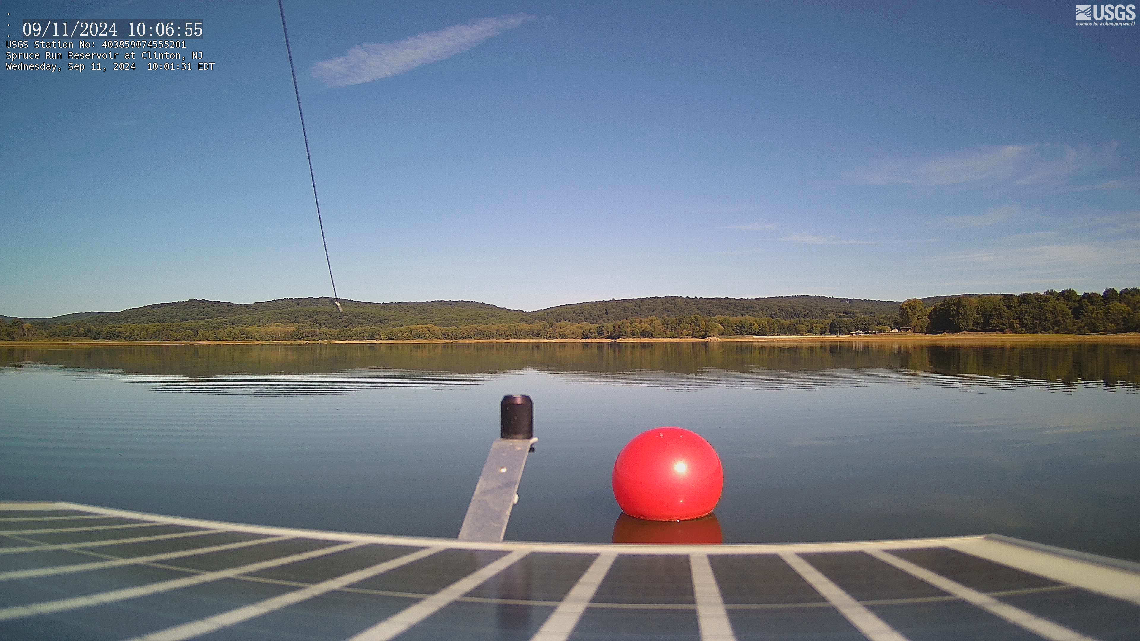
Reservoir Gage 403859074555201 Spruce Run Reservoir, NJ
Webcam at USGS Reservoir gage 403859074555201 Spruce Run Reservoir, NJ
Visit Water Data For the Nation to get current data for this site.
Webcam at USGS Reservoir gage 403859074555201 Spruce Run Reservoir, NJ
Visit Water Data For the Nation to get current data for this site.
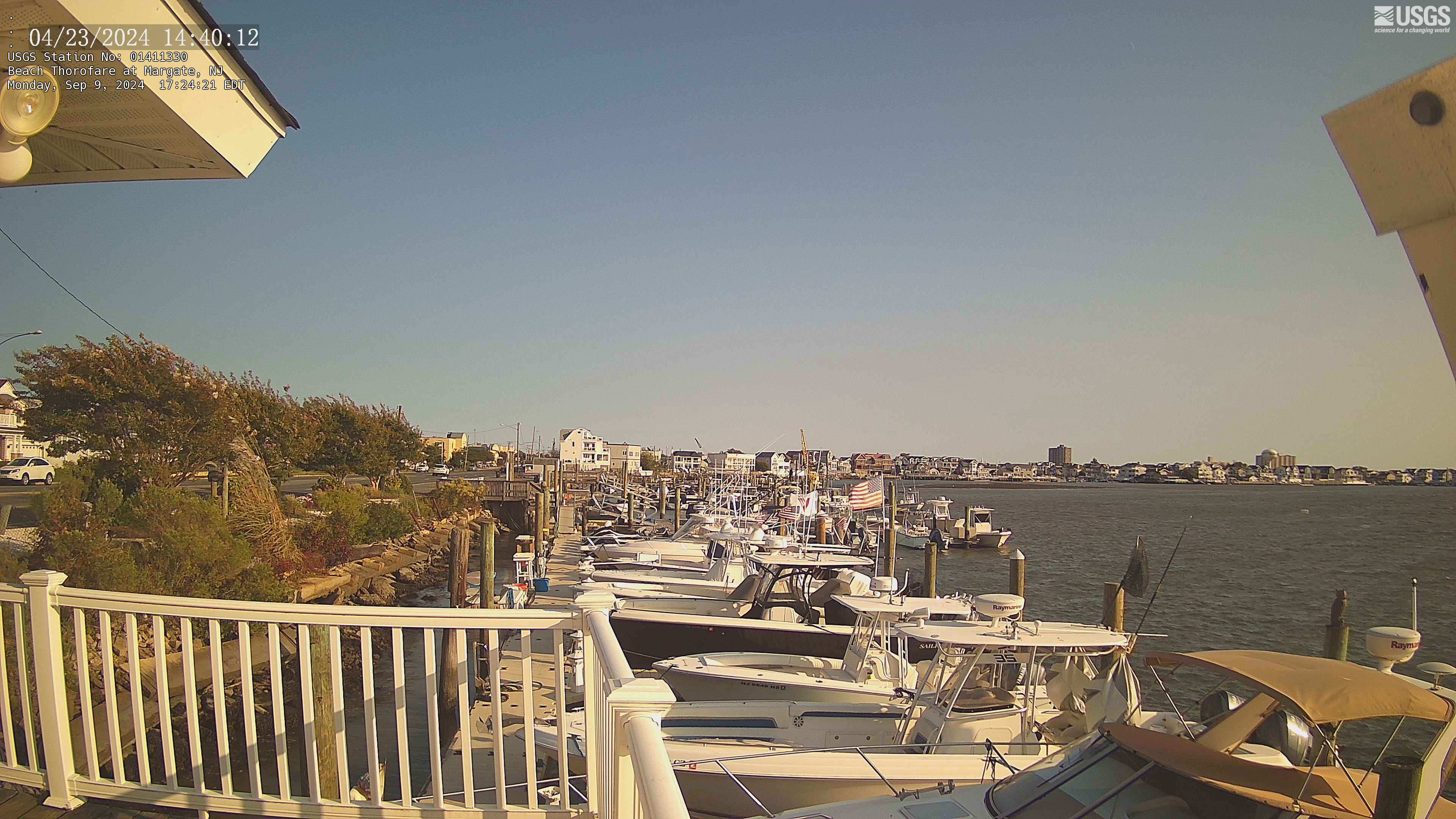
Streamgage 01411330 Beach Thorofare at Margate, NJ
Webcam at USGS Streamgage 01411330 Beach Thorofare at Margate, NJ
Visit Water Data for the Nation to get current data for this site.
Webcam at USGS Streamgage 01411330 Beach Thorofare at Margate, NJ
Visit Water Data for the Nation to get current data for this site.