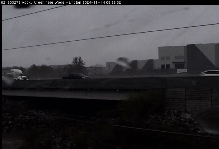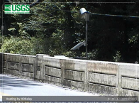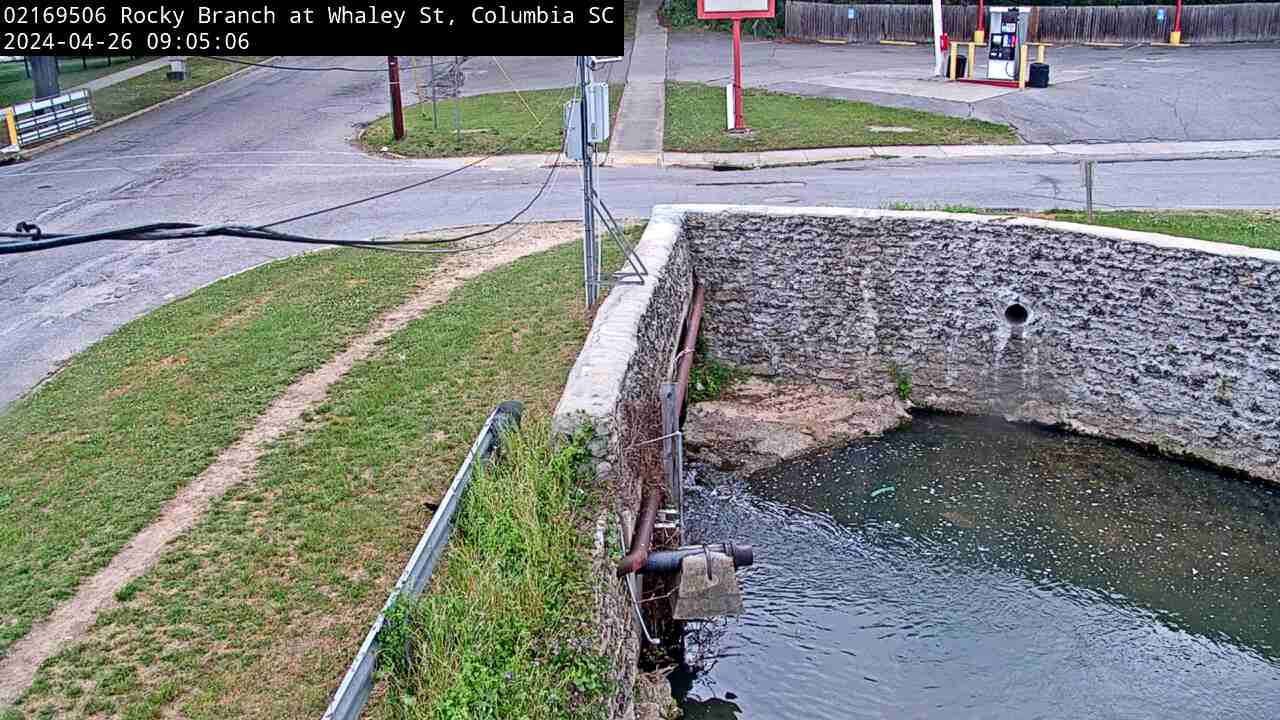
We have installed a webcam at the Rocky Branch at Whaley St. to allow you to view, in real time, the current river-stage conditions.
During periods of flooding, the South Atlantic Water Science Center - South Carolina will take control of the camera.