



Great Salt Lake sediments record thousands of years of earthquake history
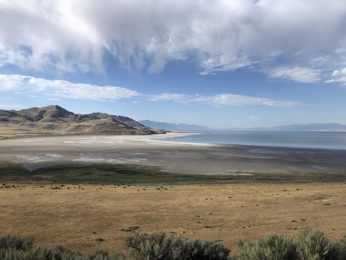
As the largest lake west of the Mississippi River with an average depth of around five meters (~16 feet), the Great Salt Lake offers an opportunity to explore acoustic and sedimentary archives of earthquake ruptures in a shallow terminal basin. A new USGS study addresses questions related to how Great Salt Lake sediments respond to surface rupture and earthquake shaking.
A Seismic Archive Beneath the Lake
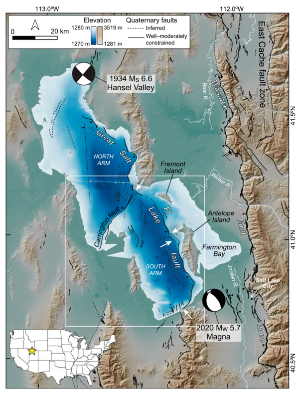
The Great Salt Lake is the largest low-relief basin in the western United States, making it an ideal natural laboratory for studying how earthquakes disturb lake sediments. A new USGS study uses acoustic sub-bottom profiles and sediment cores to determine that the lake records sediment disturbance from both primary (surface-faulting) and secondary (shaking-related) earthquakes from the Great Salt Lake Fault and Wasatch Fault Zone. These two faults contribute to elevated probabilities of major earthquakes in the Wasatch Front region of Utah.
To investigate the lake's geologic record, researchers combined two complementary approaches:
- Acoustic sub-bottom profiling, which uses sound waves to image sediment layers buried beneath the lake floor.
- Sediment core analysis, in which long cylinders of mud are collected from the lake bottom and examined layer by layer to reconstruct past events.
Together, these techniques allowed scientists to identify evidence of both direct fault movement and shaking-induced sediment disturbances preserved over thousands of years.
The study found that the lake captures evidence of:
- Primary earthquake effects, produced when fault ruptures extend to the surface.
- Secondary effects, created when strong earthquake shaking disturbs and deforms lake-bottom sediments.
Researchers identified evidence for four Holocene surface-rupturing (approximately magnitude 6.5 or greater) earthquakes along the Great Salt Lake fault. They also discovered four distinct earthquake-generated sediment deposits dating back approximately 1,700 years, preserving episodes of strong ground shaking within the lake.
By comparing sediment disturbance with known fault activity, the researchers estimated that earthquake shaking needed to reach approximately Modified Mercalli Intensity VI before it consistently left recognizable evidence in lake sediments. At this intensity, earthquakes are typically felt by everyone in the affected area and can cause minor structural damage while strongly disturbing unconsolidated sediments.
The study also found that the expression of fault scarps on the lake floor influences how effectively earthquake shaking is recorded, helping explain why some events leave clearer sedimentary signatures than others.
Improving Earthquake Hazard Assessments
Northern Utah is crossed by several active fault systems, including the Wasatch Fault Zone, one of the most significant sources of earthquake hazard in the Intermountain West.
By combining evidence of surface faulting with shaking-related sediment deposits, scientists can build a more complete history of prehistoric earthquakes than either method could provide alone.
This integrated approach not only improves understanding of the Great Salt Lake fault and the Wasatch Fault Zone, but also demonstrates that shallow lake basins can serve as valuable archives of past seismic activity. Interpreting these archives can inform future seismic hazard assessments and preparedness across the region.
Related

Intermountain West Geology

Coastal and Marine Geohazards of the U.S. West Coast and Alaska
Related
Intermountain West Geology