Photo Roundup - July-August 2022
A selection of coastal and ocean videos and photographs from across the USGS.
Coastal Change Hazards Research in Puerto Rico

A team from the USGS St. Petersburg Coastal and Marine Science Center went to Puerto Rico to install new Coast Cams to monitor how the beach and shoreline change through time. These cameras will allow the team to make predictions of how the coast will respond during storms and hurricanes. They are also deploying oceanographic buoys to measure wave conditions, water level, and wind estimates. These data will be used to validate numerical models for future expansion of the Total Water Level and Coastal Change Forecast. From left to right: Mark Buckley, Legna Torres-Garcia, Priscila Vargas-Babilonia (Student Services Contractor), Meg Palmsten, Dave Thompson, Justin Birchler, BJ Reynolds, and Luis Perez-Squeo (Student Services Contractor). Learn more about coastal hazards research in Puerto Rico.

A group of divers (from left to right: Legna Torres-Garcia, BJ Reynolds, and Dave Thompson) from the USGS St. Petersburg Coastal and Marine Science Center prepare to deploy a solar-powered Sofar spotter buoy off the coast of Puerto Rico. This instrument, along with an additional instrument on the seafloor, will deliver high-fidelity, real-time wave, water level, and wind data to scientists so they can assess the skill and improve models used in the Total Water Level and Coastal Change Forecast viewer. These forecasts help inform coastal communities about potential coastal hazards. Any use of trade, firm, or product names is for descriptive purposes only and does not imply endorsement by the U.S. Government.
USGS Research in American Samoa

View of south part of western side of Nuʻutele Island, off the west coast of Ofu Island in the Manuʻa Islands, American Samoa. Nuʻutele Island is an eroded tuff cone of Ofu-Olosega volcano. A tuff cone can form when magma and water interact at shallow depths, causing localized explosions. The layers exposed within the unvegetated cliff are the result of individual explosions during the eruption that created this tuff cone. The age of the eruption which formed Nuʻutele Island is thought to be Holocene (erupted within the last 12,000 years). After the eruption, ocean waves and currents eroded part of the tuff cone.
USGS photo by N. Deligne.

View of part of the tuff cone which contains both Faleāsao village and Faleasao Harbor from the northwest part of Taʻū Island, American Samoa. A tuff cone can form when magma and water interact at shallow depths, causing localized explosions. The layers exposed within the unvegetated cliff are the result of individual explosions during the eruption that created this tuff cone. The age of the eruption which formed this tuff cone is unknown. After the eruption, ocean waves and currents eroded (removed) the northern side of the tuff cone, leading to the creation of Faleasao Harbor. Faleāsao village is also located within the tuff cone.
USGS photo by N. Deligne.
Groundwater Flux to the West Florida Shelf

Dr. Christopher G. Smith pumps water from a submarine groundwater well on the seafloor through tubing to the R/V Halimeda and uses an instrument called a YSI to measure salinity and ensure the wells are working properly and producing groundwater. These types of wells allow scientists to monitor submarine groundwater through time and quantify the flux of groundwater from Florida’s aquifer into the coastal waters of the west Florida Shelf. The groundwater could carry nutrients that could potentially influence algal blooms in the Gulf of America.

USGS scientific diver BJ Reynolds examines a submarine groundwater well on the seafloor before hooking up the well to a pump on the surface to ensure the wells are working properly and producing groundwater. These types of wells allow scientists to monitor submarine groundwater through time and quantify the flux of groundwater from Florida’s aquifer into the coastal waters of the west Florida Shelf. The groundwater could carry nutrients that could potentially influence algal blooms in the Gulf of America.

Learn more about this project.
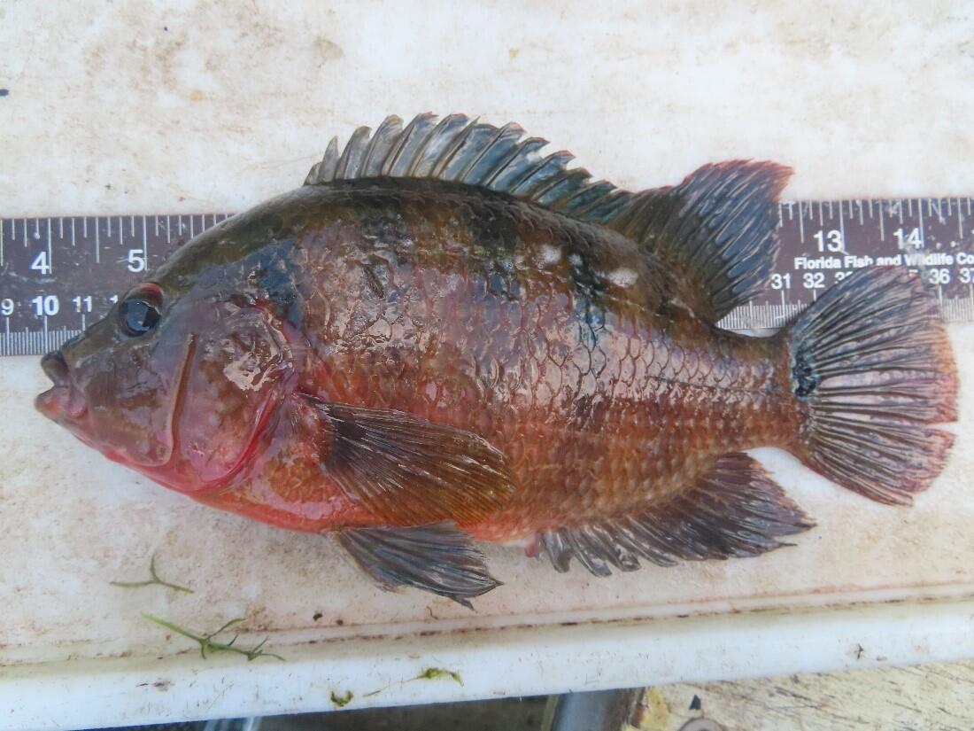
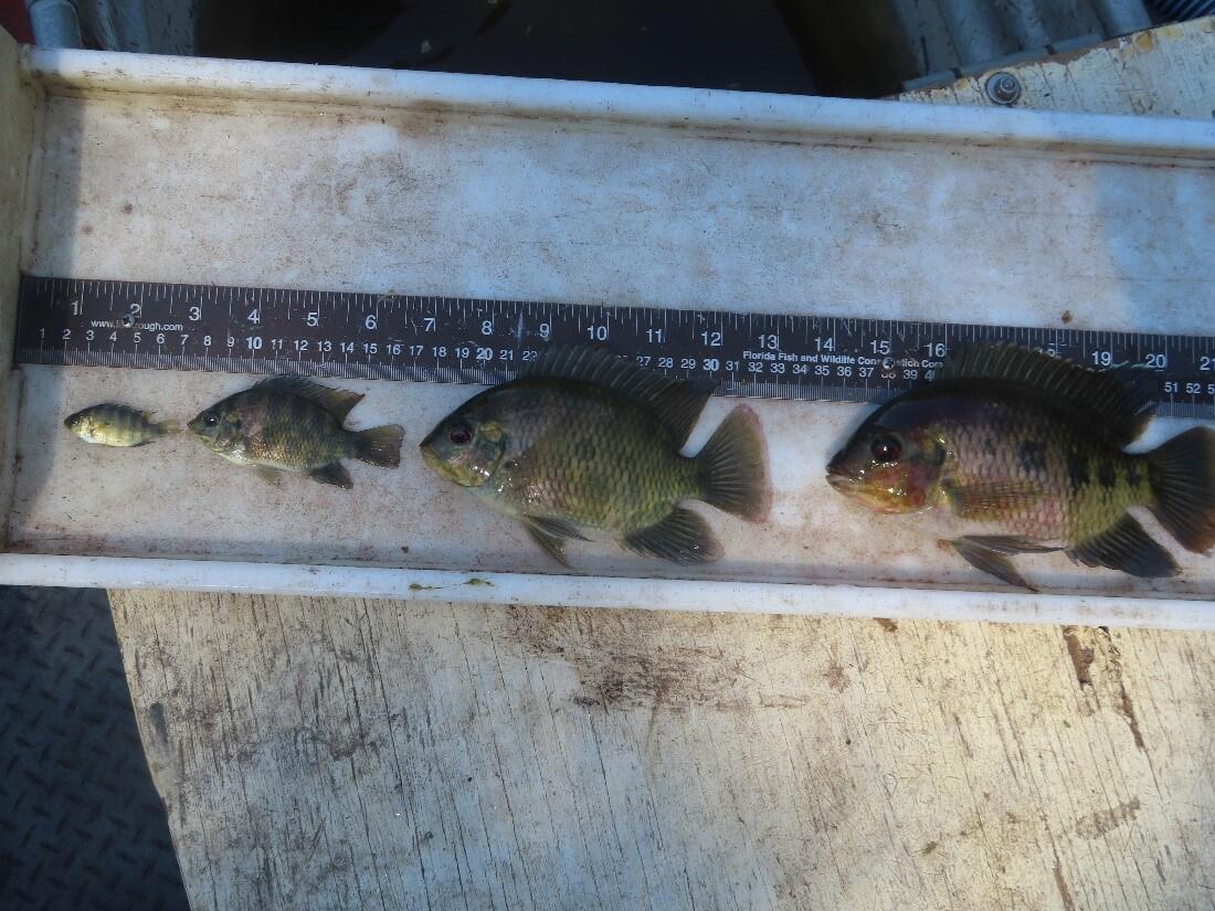
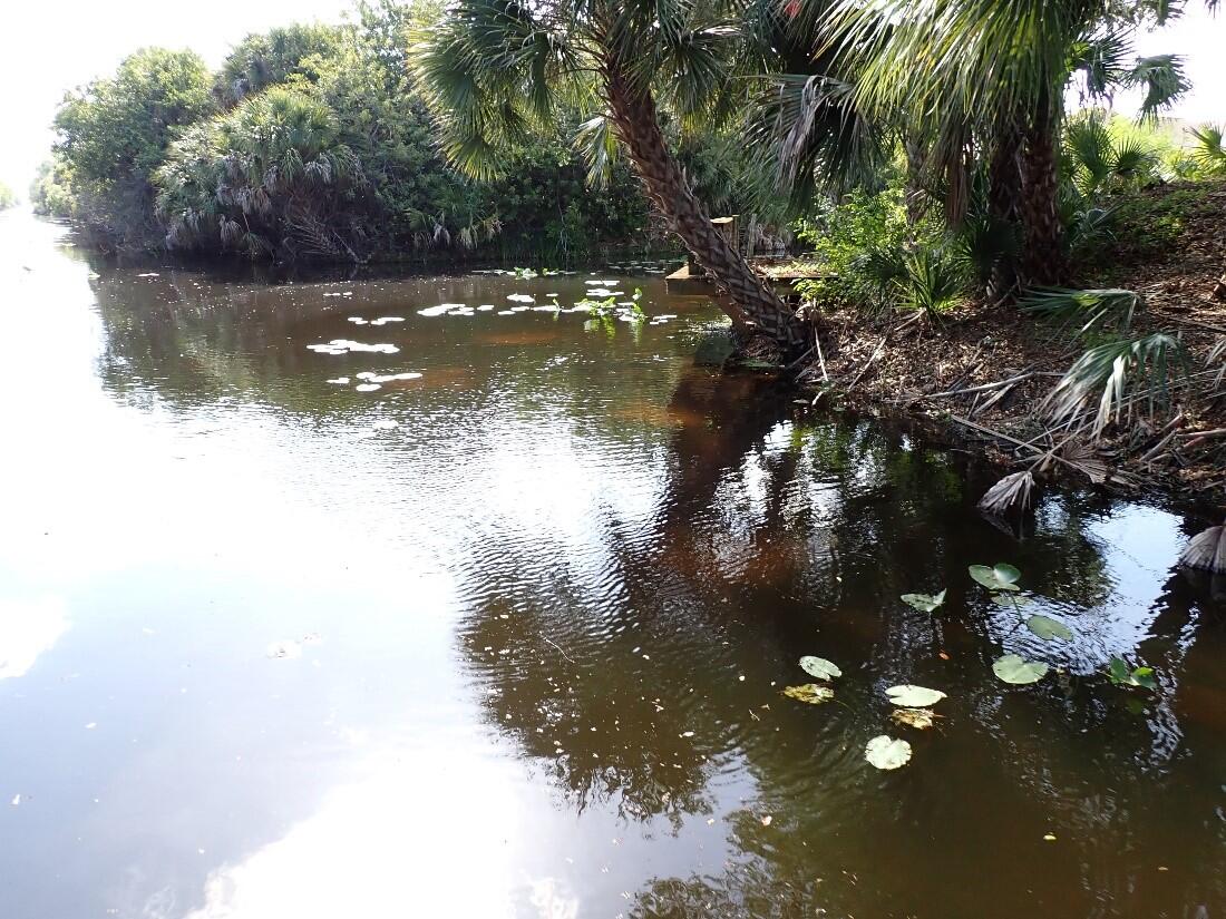
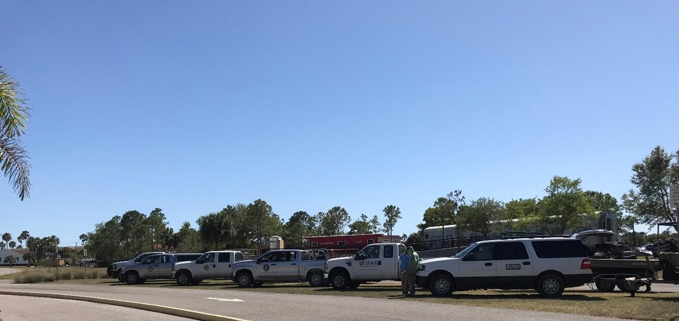
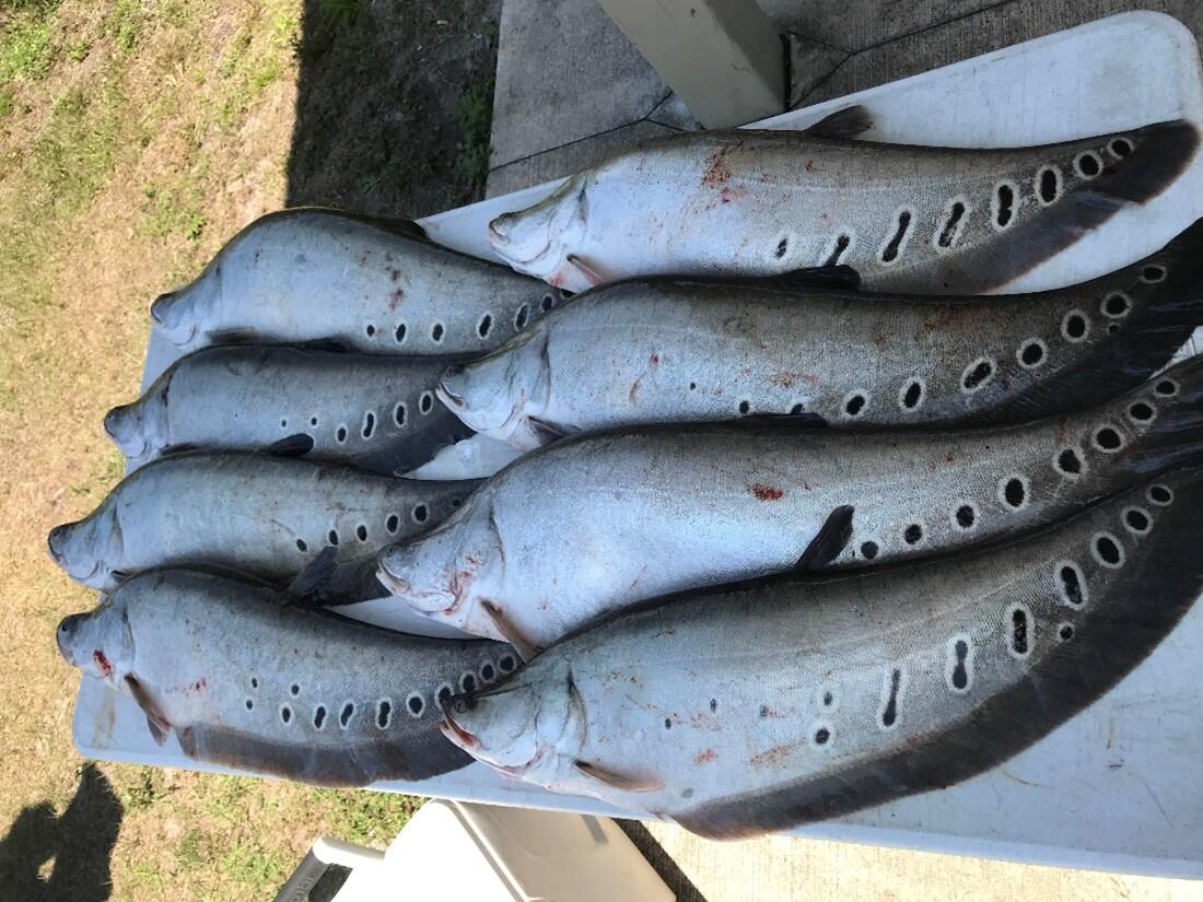
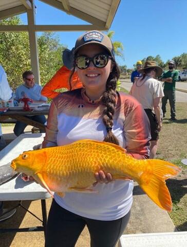
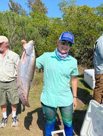
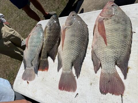
Southwest Florida Fish Slam 2022