Maps
Corridor Mapping Team
Adaptive Problem Maps
Connecting data dots to build increasingly informed and defensible environmental conservation decisions
Connecting data dots to build increasingly informed and defensible environmental conservation decisions
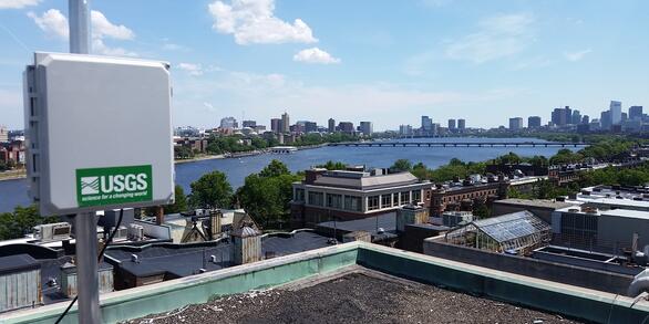
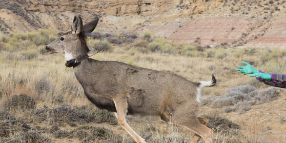
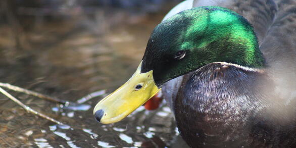
We're working on this page! Check back soon — last updated September 15, 2025. Maps are important in the study of fish and wildlife because they help researchers, decision-makers, and the public understand where animals live, move, and interact with their environment. Maps help track animal locations, study habitats, and track migration routes and movement.