Page 8 of fictional Great ShakeOut instruction manual
Page 8 of fictional Great ShakeOut instruction manual[Page 8]
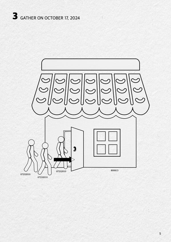
Did you feel that? The annual Great ShakeOut Earthquake Drill is coming on Thursday, Oct. 17, 2024, at 10:17 a.m. (local time, wherever you are). We never know where or when an earthquake may happen, but preparing is easier than assembling a piece of Scandinavian furniture.