



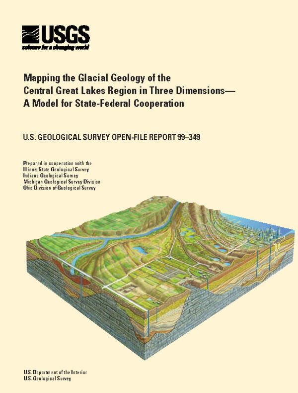
Cover page for the USGS Open File Report 99-349. Read the original report here: https://www.usgs.gov/publications/mapping-glacial-geology-central-great…
Images
Images intro.
Filter Total Items: 67
GLGMC Open FIle Report 99-349_Page_01.jpg
Cover page for the USGS Open File Report 99-349. Read the original report here: https://www.usgs.gov/publications/mapping-glacial-geology-central-great…
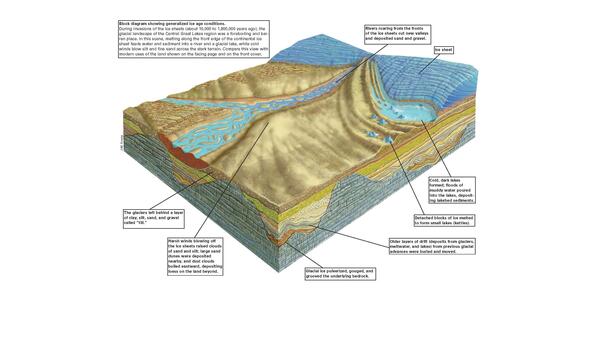
Central Great Lakes Geologic Mapping Coalition (1999): USGS Circular 1190 glacial block diagram showing generalized ice age conditions
Central Great Lakes Geologic Mapping Coalition (1999): USGS Circular 1190 glacial block diagram showing generalized ice age conditionsDuring invasions of the ice sheets (about 10,000 to 1,800,000 years ago), the glacial landscape of the Central Great Lakes region was a foreboding and barren place. In this scene, melting along the front edge of the continental ice sheet feeds water and sediment into a river and glacial lake.
USGS Circular 1190-150_Page_01.jpg
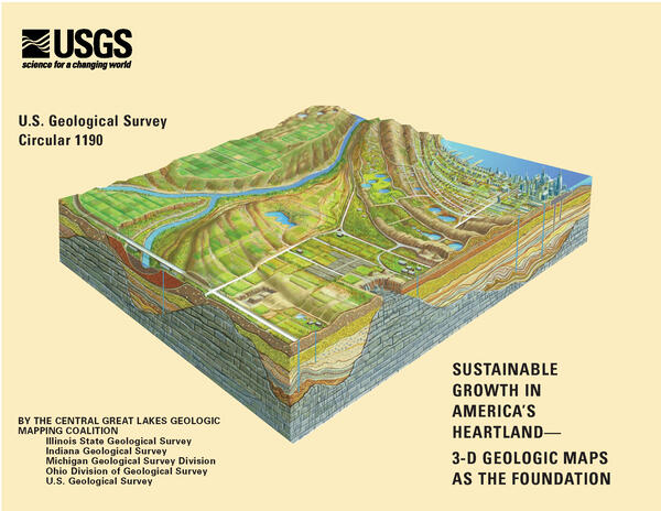
This is the cover page of USGS Circular 1190. View the publication here: https://pubs.usgs.gov/circ/c1190/
This is the cover page of USGS Circular 1190. View the publication here: https://pubs.usgs.gov/circ/c1190/

1974 Geologic Map of the United States.
King and Beikman's 1974 Geologic Map of the United States (1974 Geologic Map of the United States)
King and Beikman's 1974 Geologic Map of the United States (1974 Geologic Map of the United States)